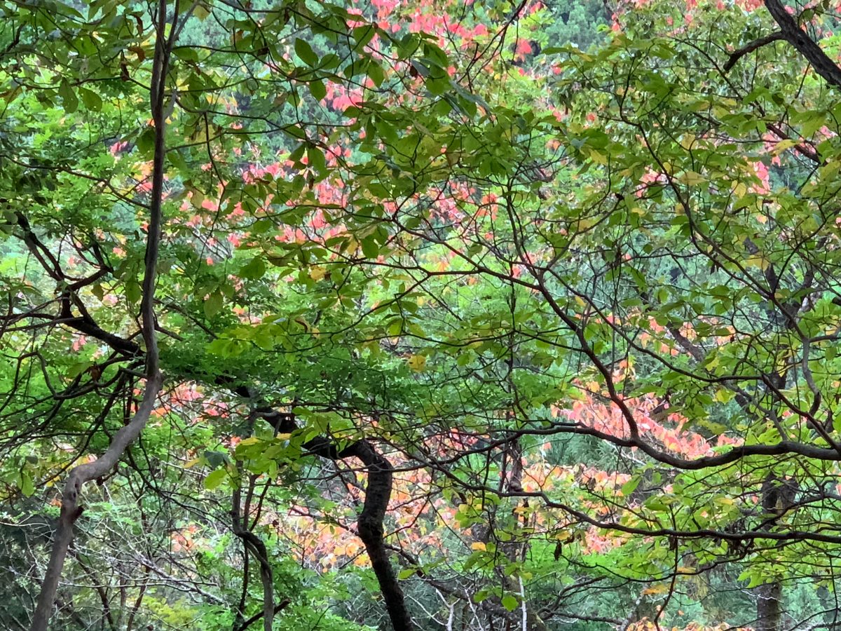
Mt. Tonodake is the main peak of Omote Tanzawa. There are several routes to Mt. Tonodake, but among them, the Okura Ridge route is also known as “Baka Ridge(Baka-One)” and involves climbing an elevation difference of 1,200 meters over a distance of 7 kilometers.
It is recommended not to push yourself too hard in the first half of the hike, as the latter part of the route includes steep climbs and can be more challenging. Make sure to pace yourself to conserve energy for the more difficult sections of the trail.
Route
Okura Trailhead → Horiyama → Hanatate Mountain Lodge → Mt. Tonodake → Hanatate Mountain Lodge → Horiyama → Okura Trailhead
Dangerous spots
There are no particularly dangerous spots on this route. The path is generally wide and easy to walk.
Beyond Hanatate Mountain Lodge, there are some scree slopes, narrow ridges, and landslide-prone areas, but a safe route has been properly maintained.
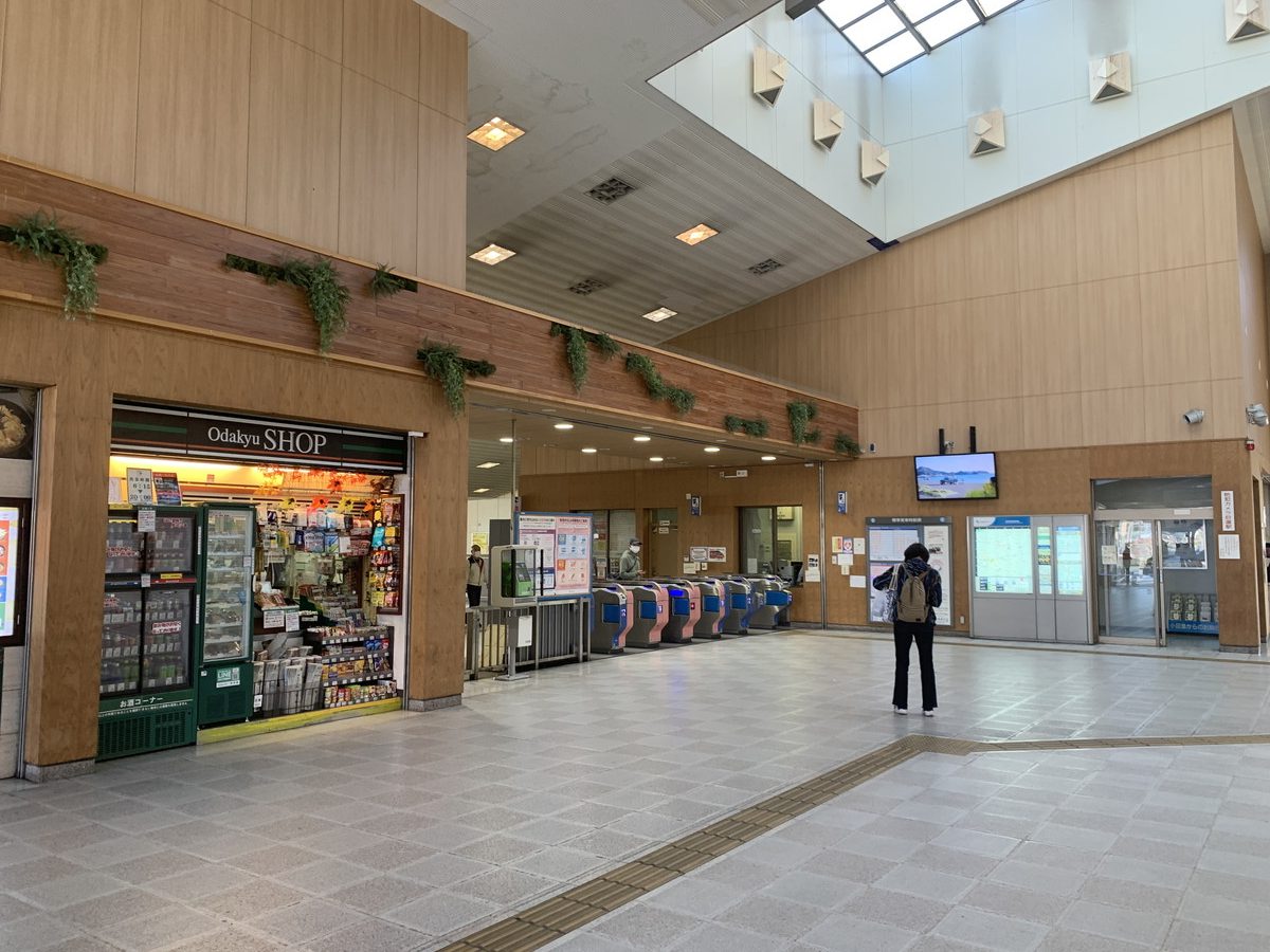
Odakyu Shibusawa Station → Okura Bus Stop (Okura Trailhead)
The nearest train station is Odakyu Shibusawa Station.
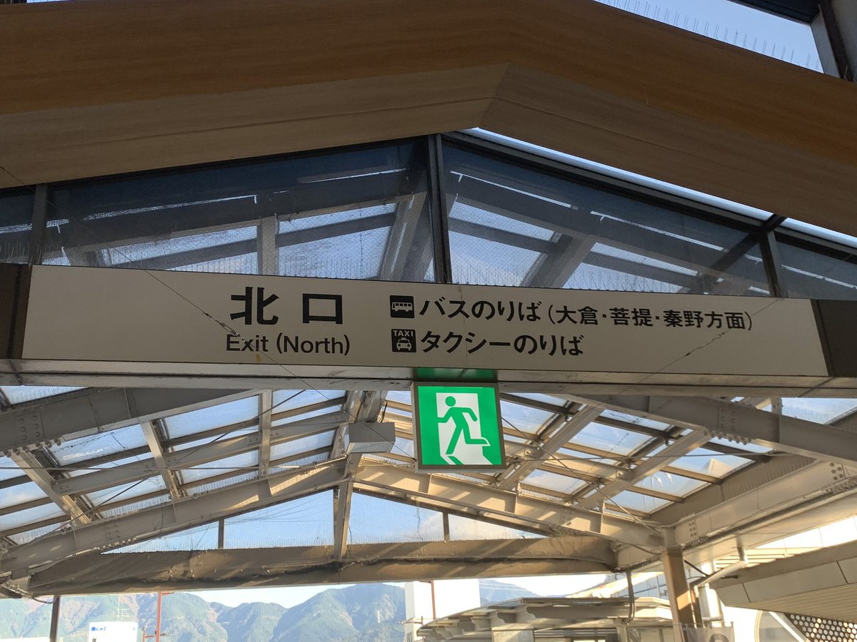
The bus terminal is located at the north exit, down the stairs.
Bus stop No. 2 is for buses bound for Okura.
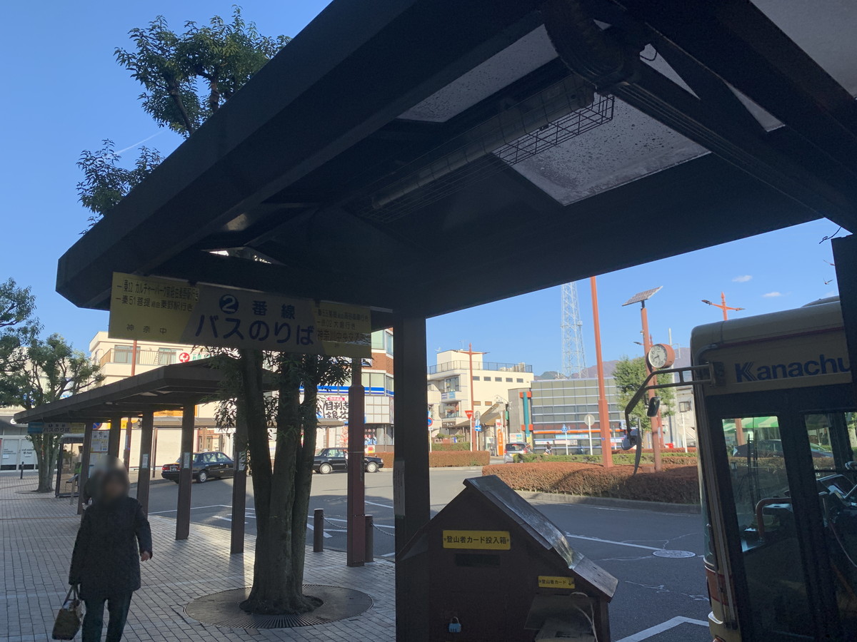
Take the bus for about 15 minutes to reach the Okura Bus Stop, the last stop on the route.
There’s a rest house here with toilets. Prepare for your hike here and then head out.
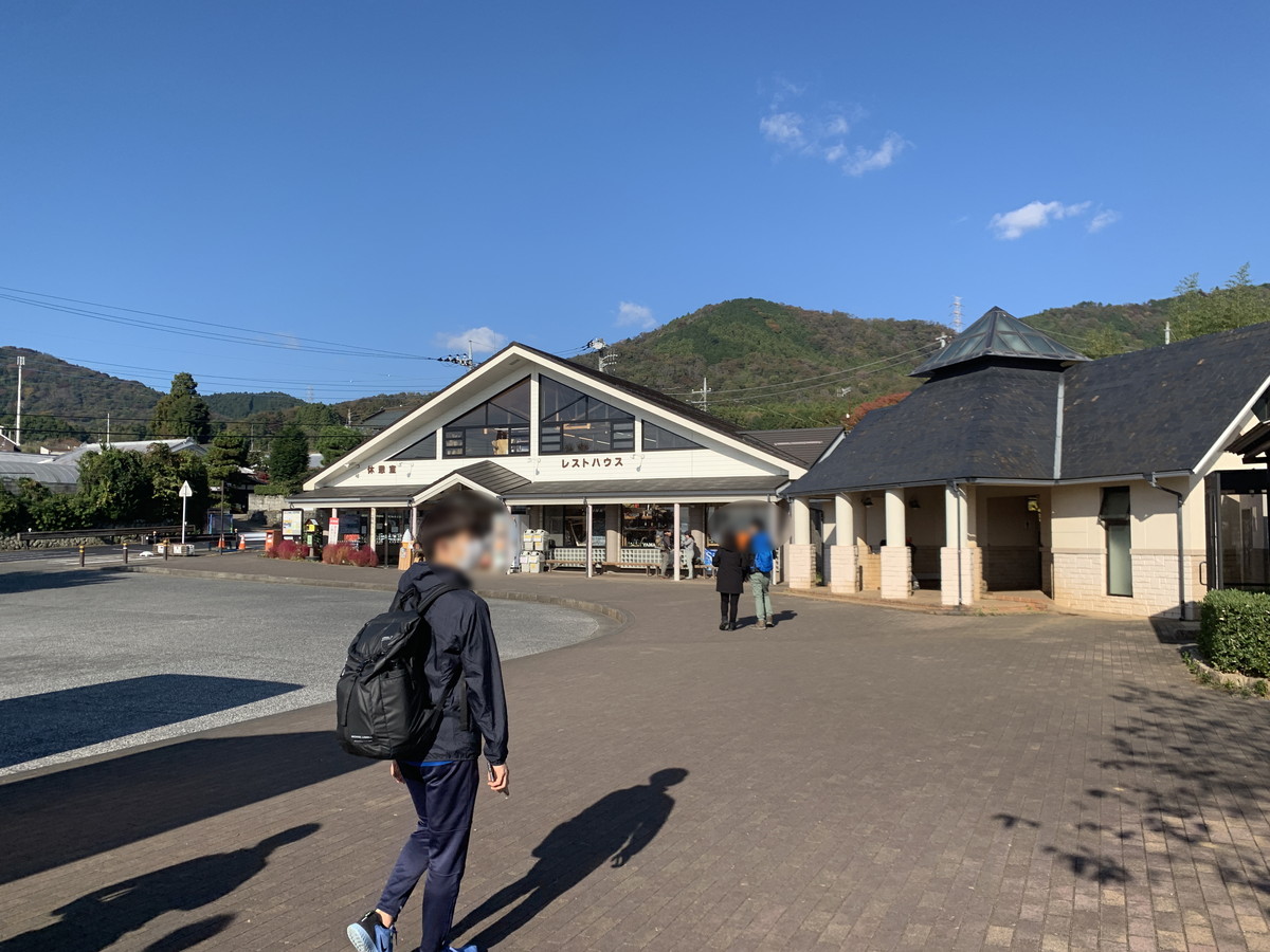
Turn right from the rest house and go up the paved slope.
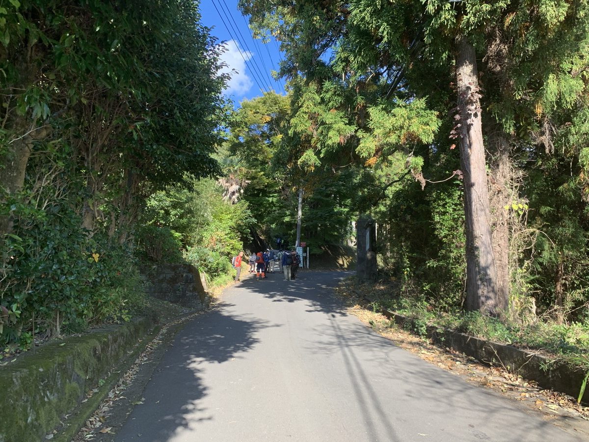
Pass the Okura Mountain House and you’ll see the trailhead. There are many hikers in the photo below, but you’ll enter the left side of the fork.
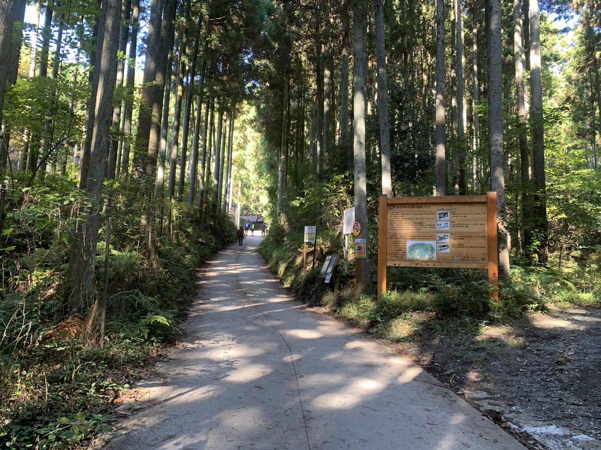
Okura Trailhead → Zoujiba-no-Taira
First, head to Zoujiba-no-Taira from the Okura Trailhead.
It takes about 50 minutes from the Okura Bus Stop and about 40 minutes from the Okura Trailhead.
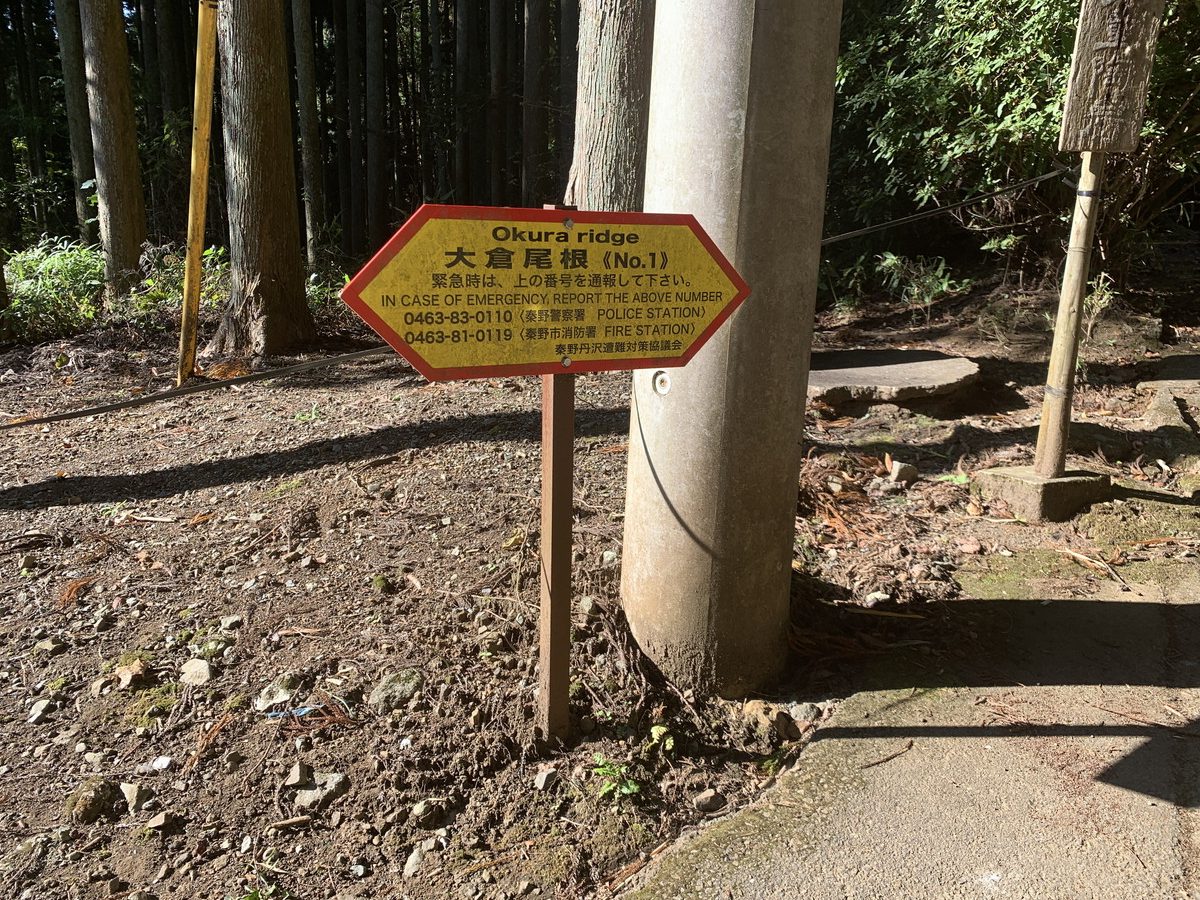
On the Okura Ridge, there are signboards with numbers, which you can report in case of an emergency.
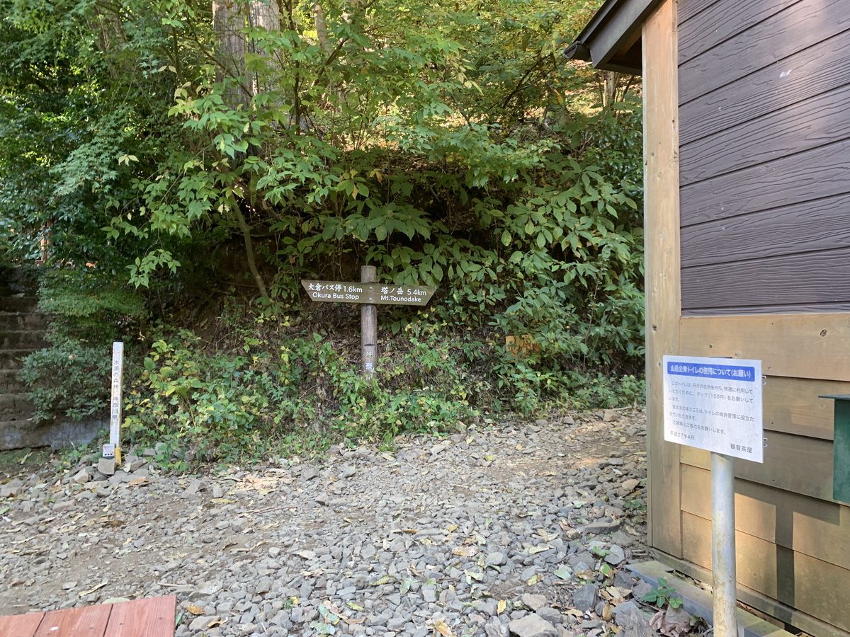
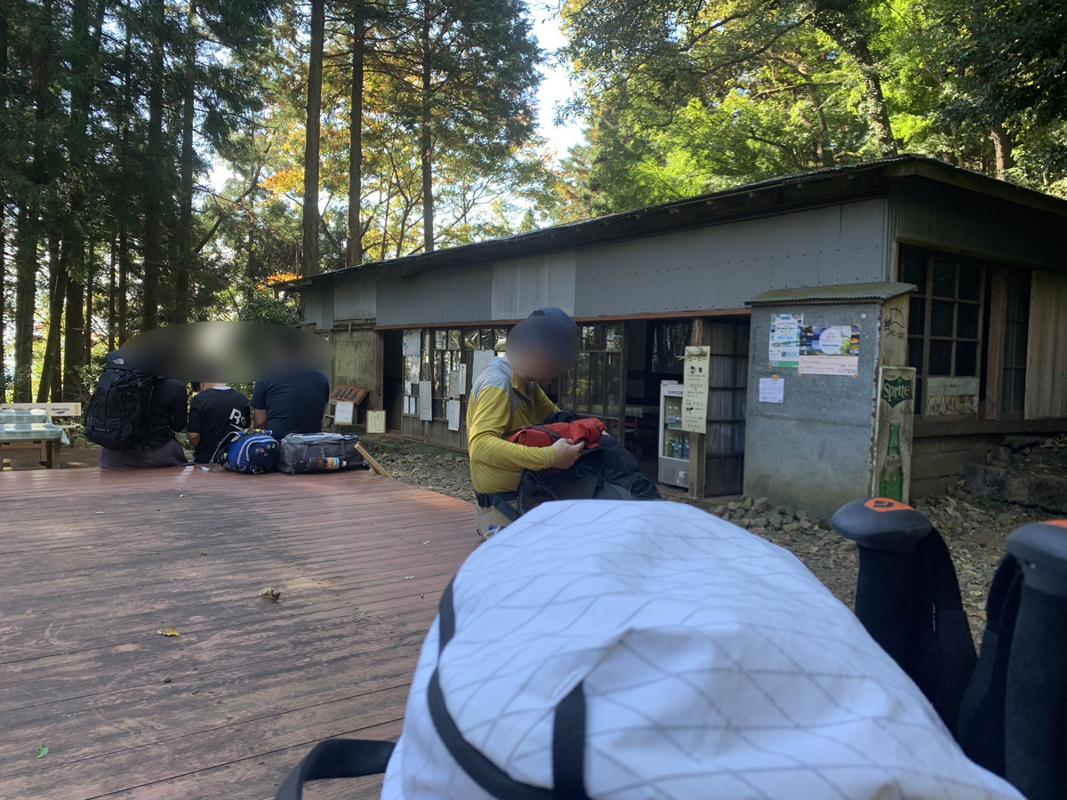
The first tea house is Kannon Chaya.
The popular dessert here is a fruit-filled milk pudding made with fresh milk from nearby farms. It often appears in various hikers’ mountain records. There’s also a toilet here (paid, 100 yen). At Tanzawa Okura Ridge, bio-toilets have been introduced at Kannon Chaya, Miharashi Chaya, Hanatate Mountain Lodge, and the summit’s Sonbutsu Mountain Lodge.
At the fork,
turn left to pass the Okura Highland Mountain House campground. There’s an observatory called Daikanbo here.
This campground is the only tent site in the area. This time, we’ll take the right path, but both paths converge at the same point, Zoujiba-no-Taira.
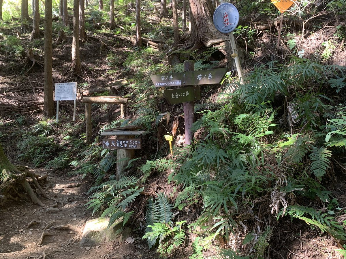
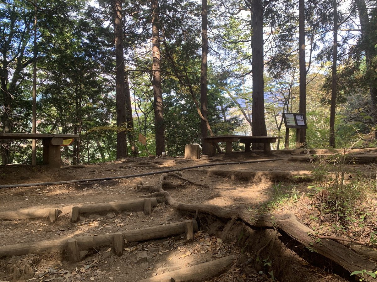
The convergence point is Zoujiba-no-Taira (598m).
Zoujiba-no-Taira→Komadome Chaya
From Zoujiba-no-Taira, it takes about 40 minutes to reach Komadome Chaya.
A short walk from Zoujiba-no-Taira, you’ll quickly see Miharashi Chaya. There’s a toilet (paid) and many people take breaks here.
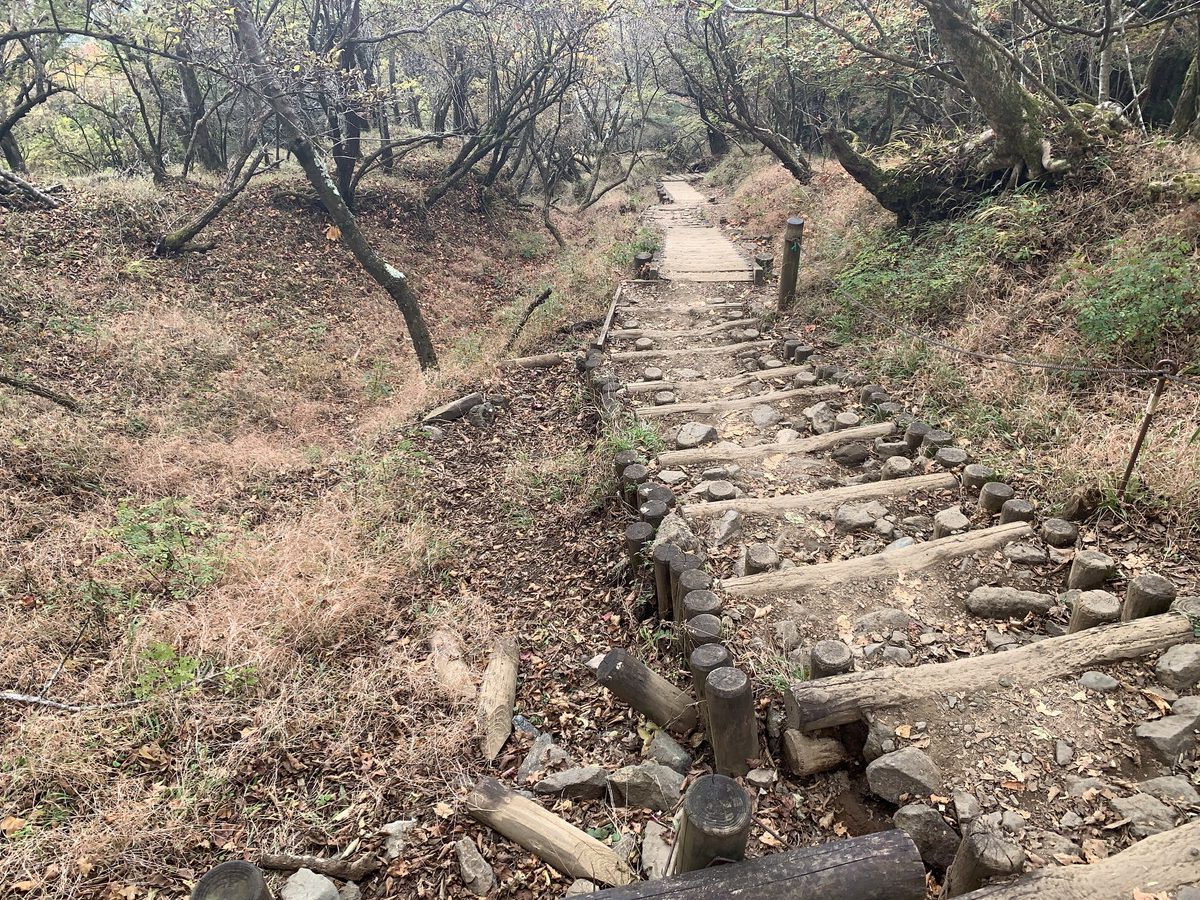
This area is not too steep and easy to walk, but after passing Miharashi Chaya, the trail climbs significantly in elevation until Horiyama. First, head to Komadome Chaya. Long stairs continue.
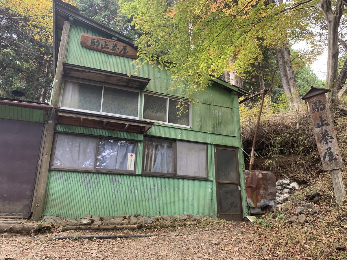
After climbing the endless stairs, Komadome Chaya comes into view.
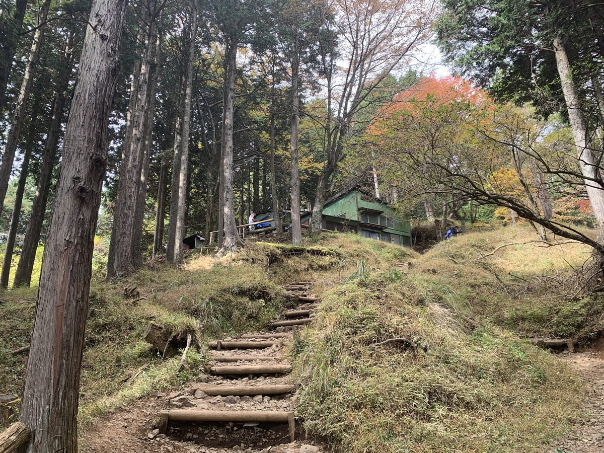
Komadome Chaya is at an elevation of 905m.
Komadome Chaya → Horiyama-no-Ie
From Komadome Chaya, it takes about 20 minutes to reach Horiyama-no-Ie.
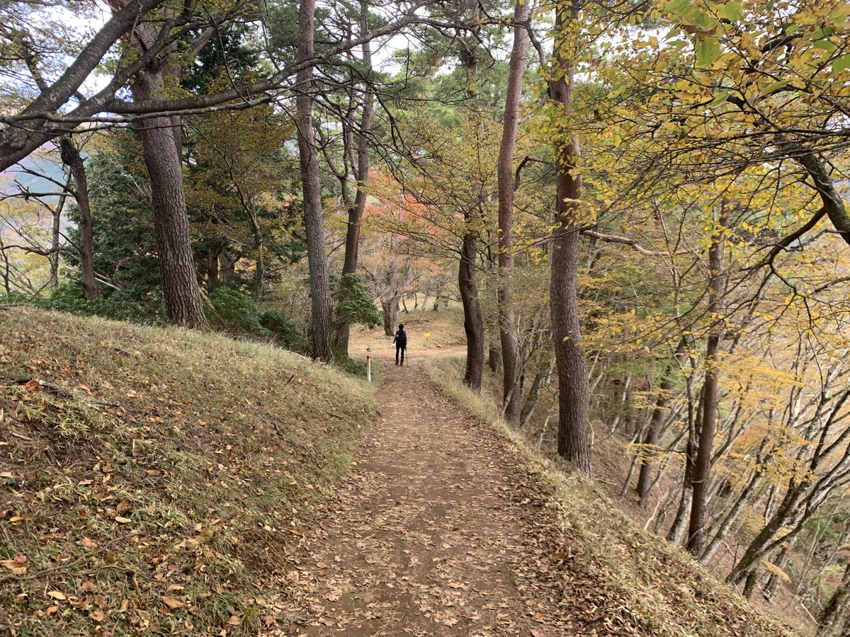
About 5 minutes before Horiyama-no-Ie, if you have a map, you can find the peak from the contour lines. It’s called Horiyama, but there’s not much to see.
The section between Komadome Chaya and Horiyama is one of the easiest parts of the entire Okura Ridge.
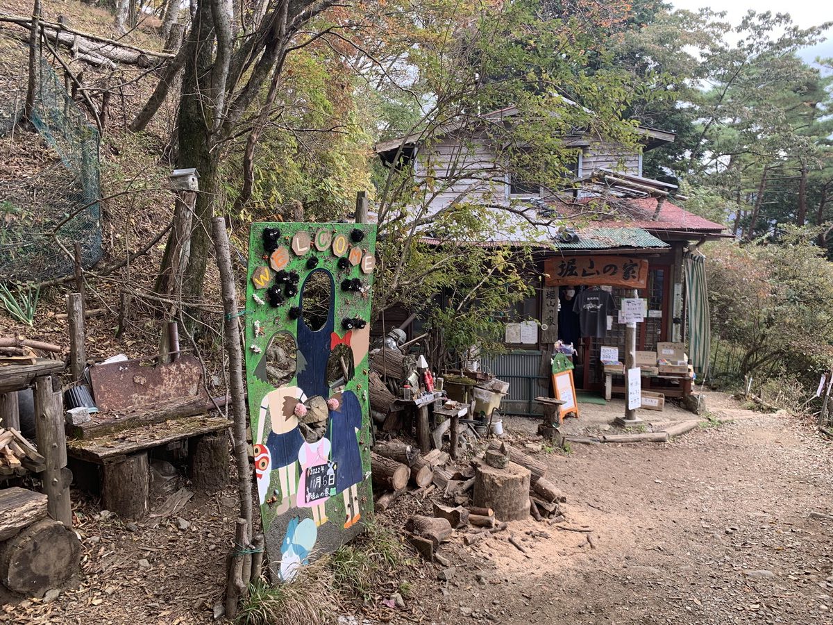
Arriving at Horiyama-no-Ie (959m).
Horiyama-no-Ie → Hanatate Mountain Lodge
The entire Okura Ridge is just under 7km long, and by this point, you’ve walked about 4.3km.
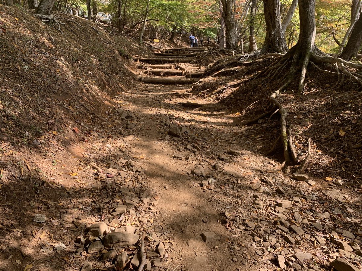
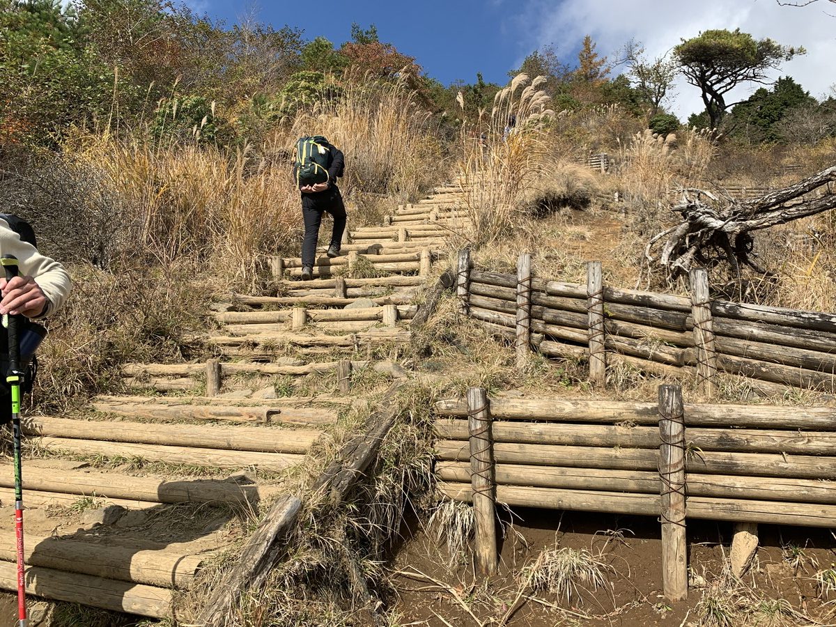
Although you’ve passed the halfway point, this is where the real challenge of “Bakaone” begins. In other words, you’ll be climbing stairs almost non-stop. It takes just under an hour to reach Hanatate Mountain Lodge, so keep climbing.
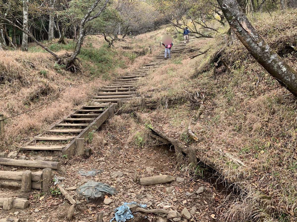
Looking back, you can see the stairs stretching all the way down.
This section is quite steep and challenging.
Along the way, you’ll pass the junction with the Tenjin Ridge route.
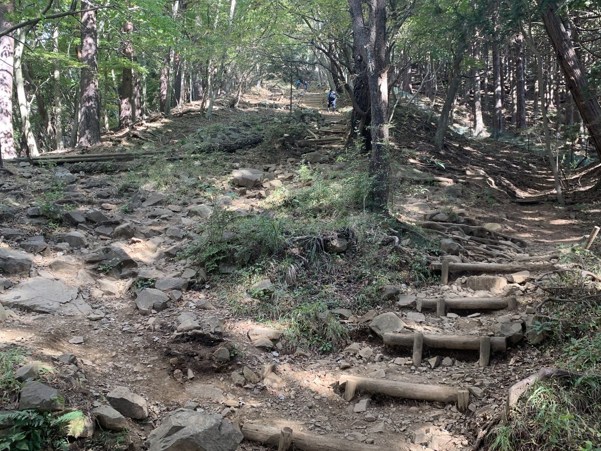
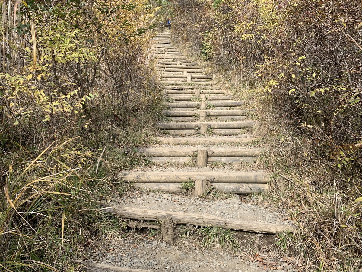
The trail becomes rocky and steep for a while.
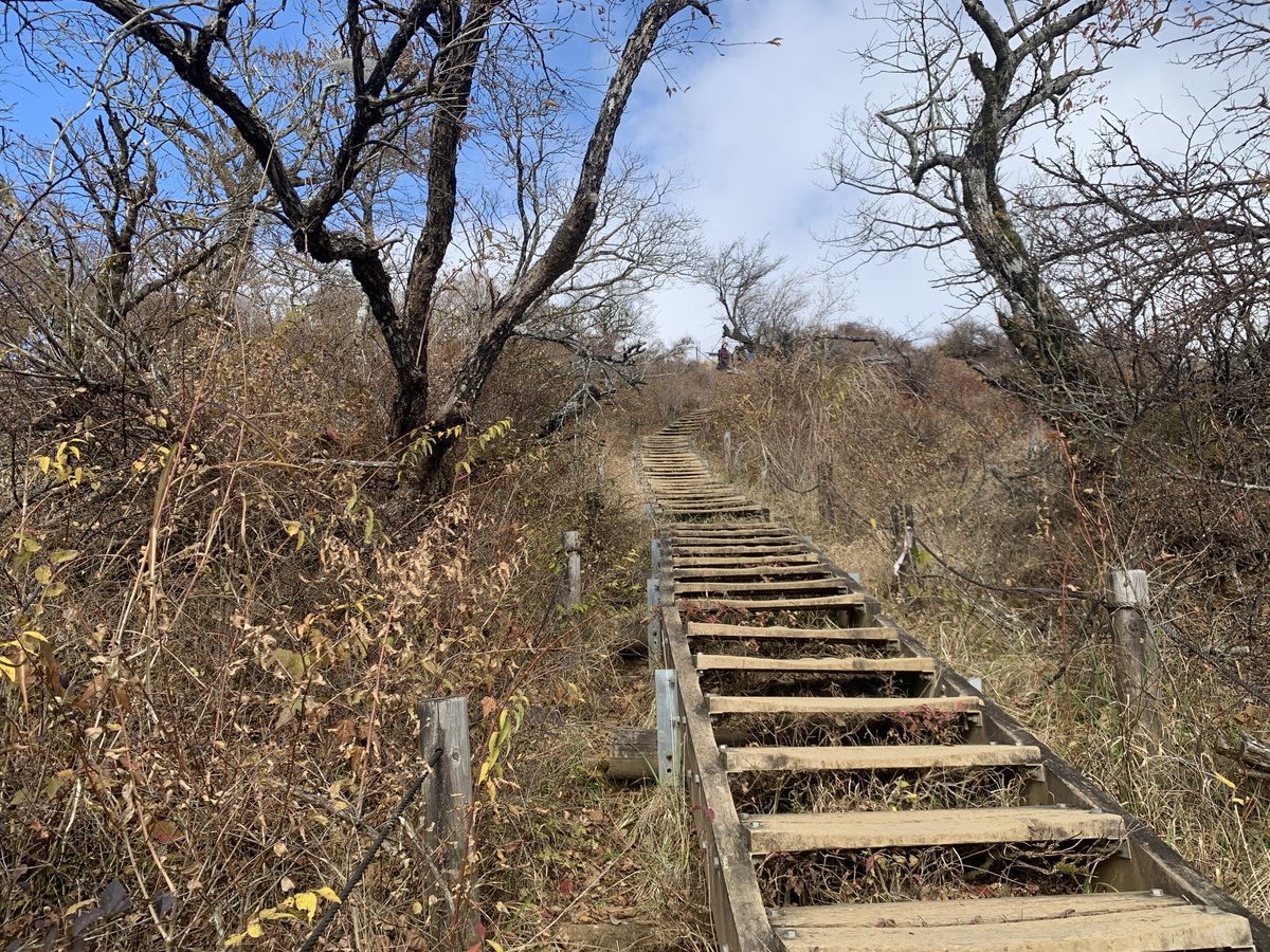
Then, the never-ending stairway to Hanatate begins.
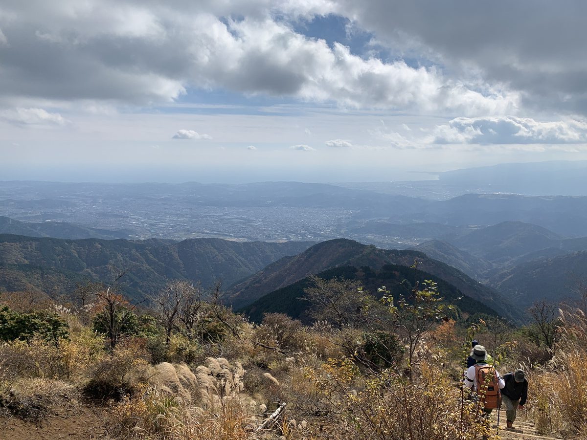
As you reach this point, you can see the Sagami Bay in the distance.
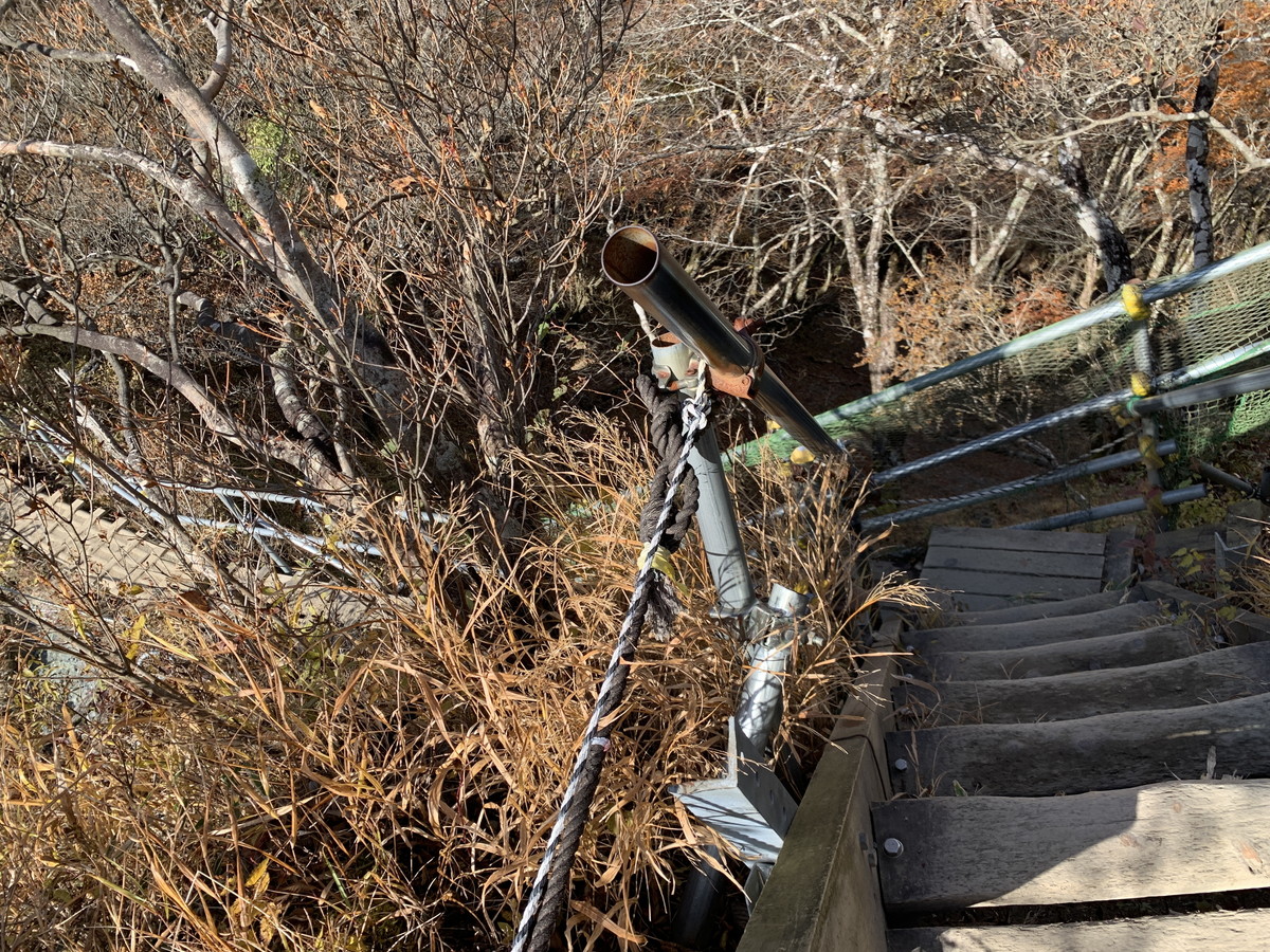
On the right is a machine for counting the number of hikers, installed by the Kanagawa Prefectural Nature Conservation Center. The reason “Bakaone” became a stairway hell is due to the overuse of the trail, and this machine is installed to help monitor the situation.
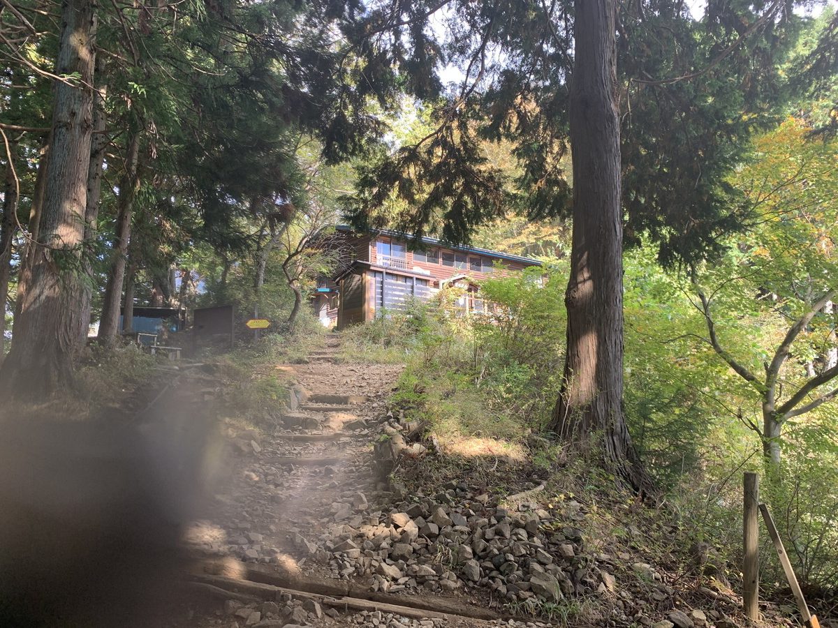
However, since you’ve just climbed nearly an hour of steep terrain right before reaching Hanatate, you might not have the energy to think about such things. After climbing these stairs,
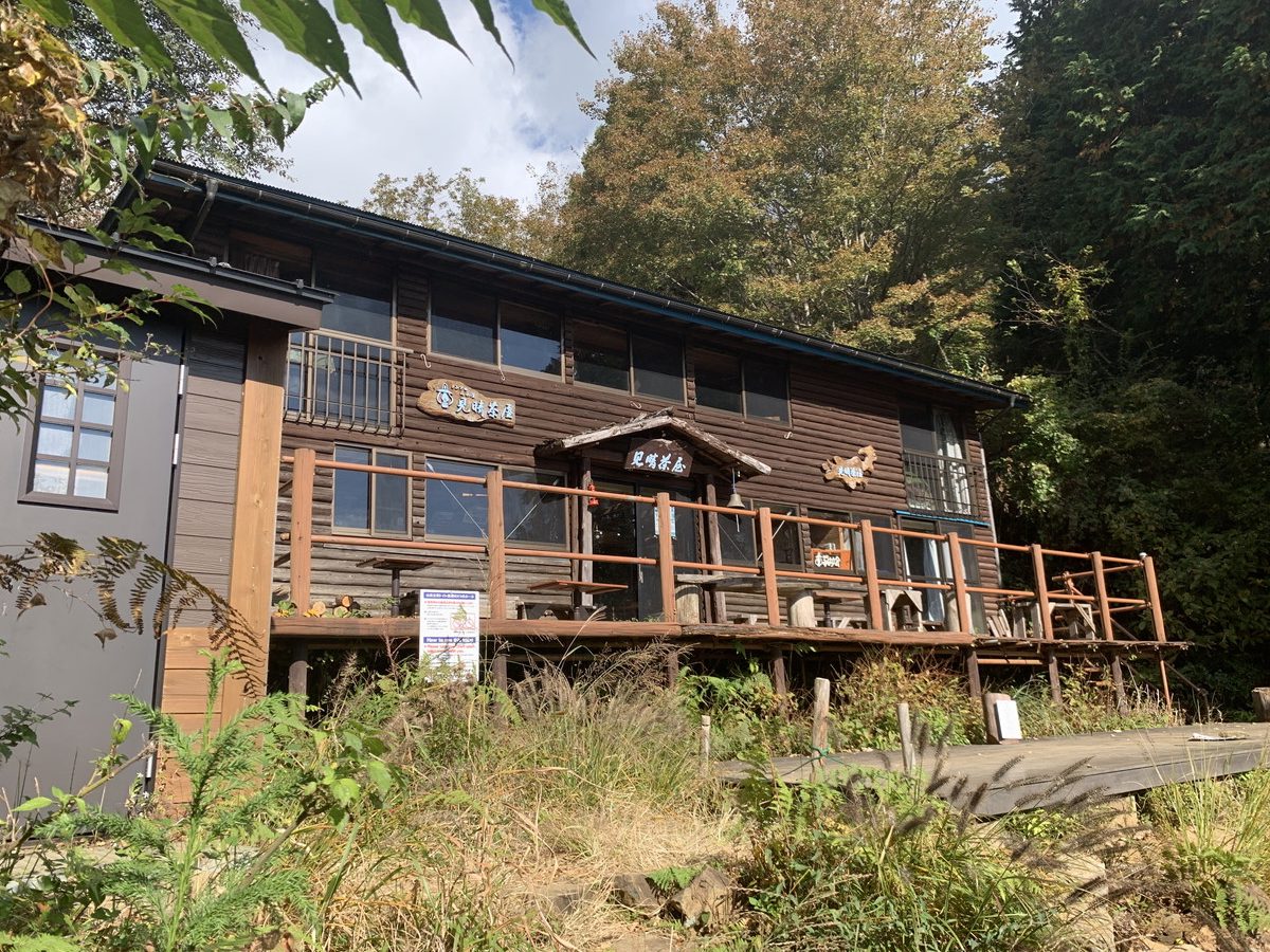
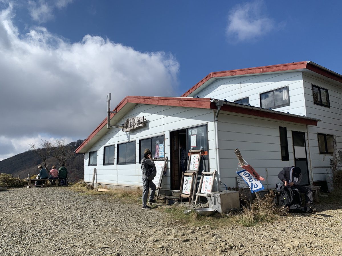
You’ll arrive at Hanatate Mountain Lodge (1,302m).
The lodge has toilets (paid) as well.
Hanatate Mountain Lodge → Kinhiyashi
It takes about 15 minutes to reach Kinhiyashi from Hanatate Mountain Lodge.
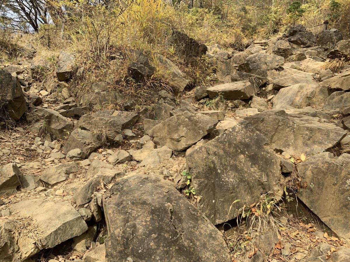
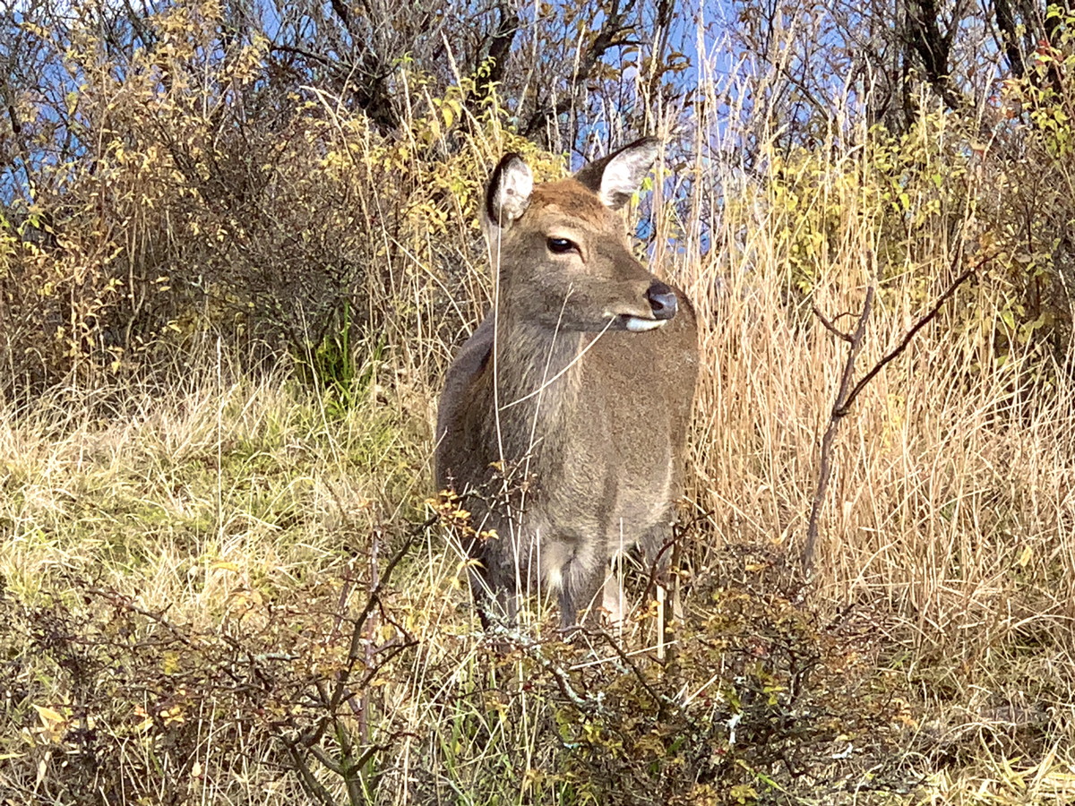
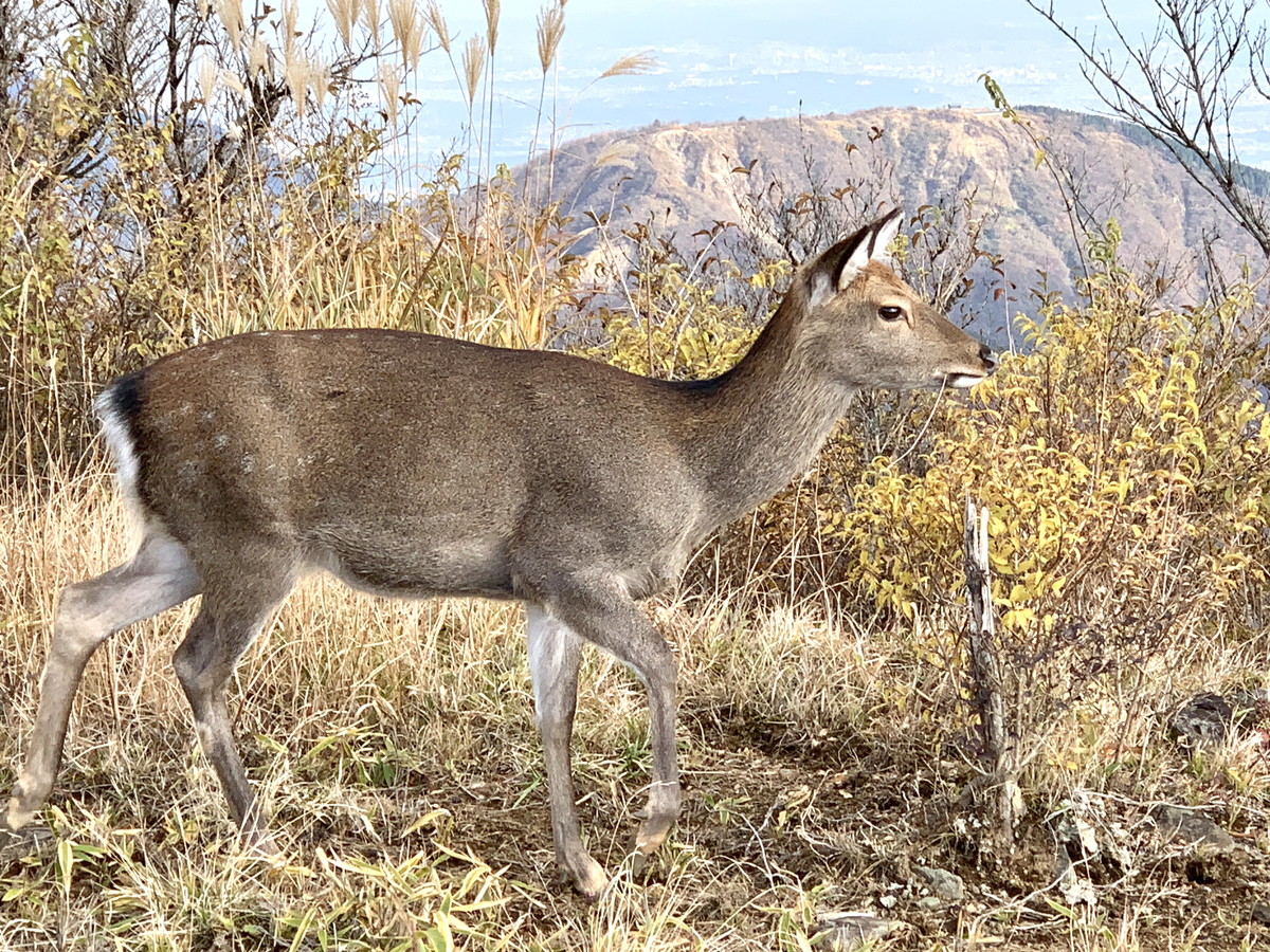
There are some scree slopes along the way, but this area offers great views and an open, enjoyable atmosphere where deer can be spotted.
Deer are also present.
There are some narrow landslide-prone areas, but the reinforced route is safe to navigate, though tight.
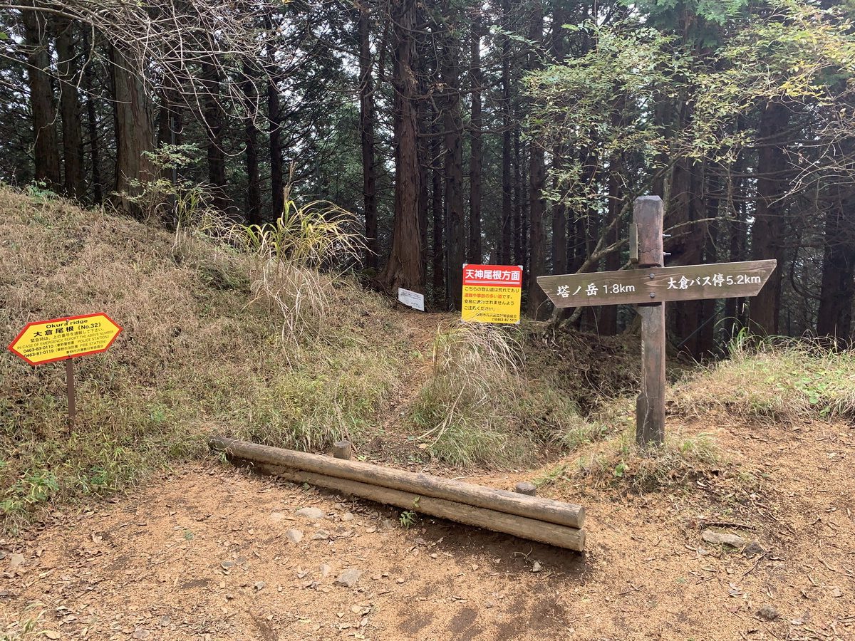
You’ll arrive at Kinhiyashi(1,367m). It’s the junction for the Nabewari Mountain route, but there’s not much else here.
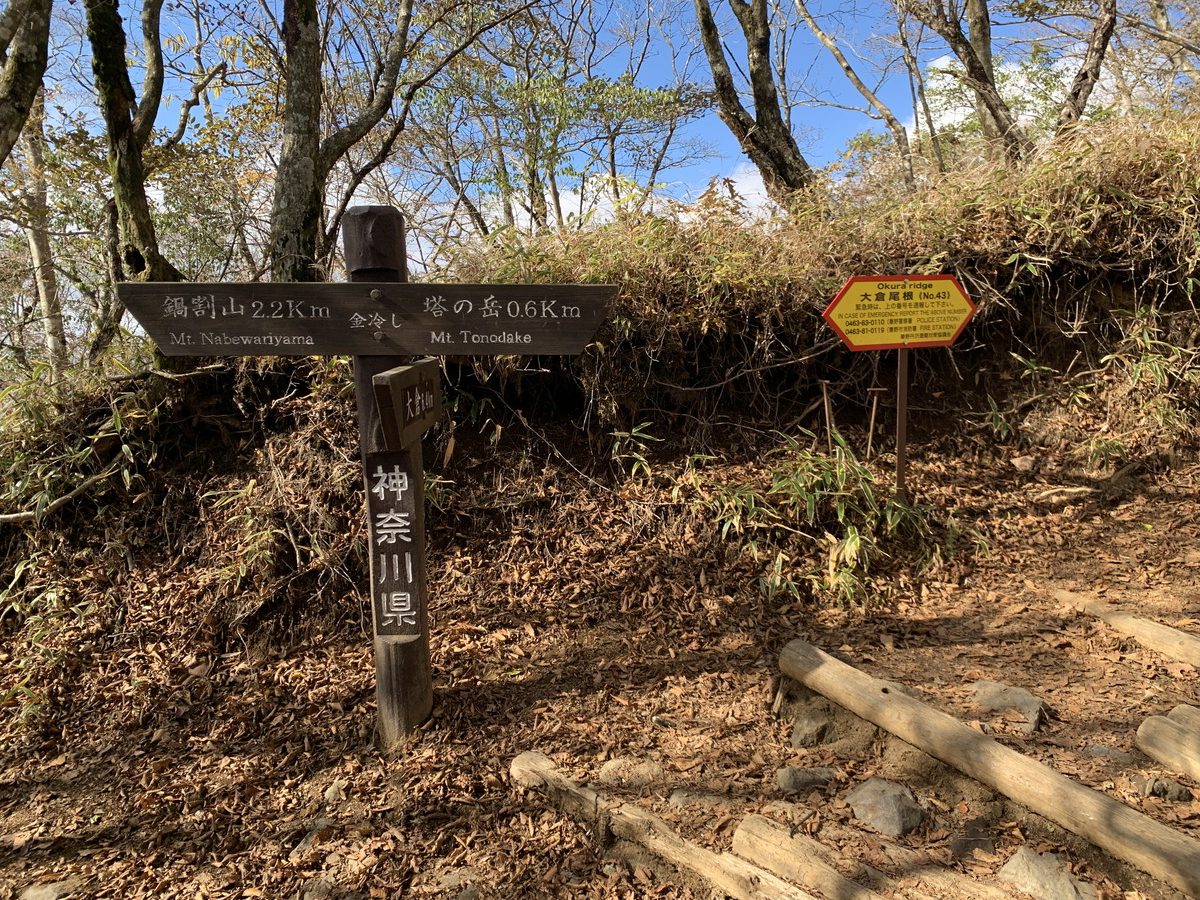
Kinhiyashi→Mt. Tonodake
From here, it’s only 600m to the summit.
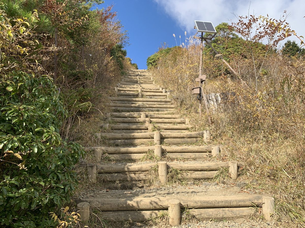
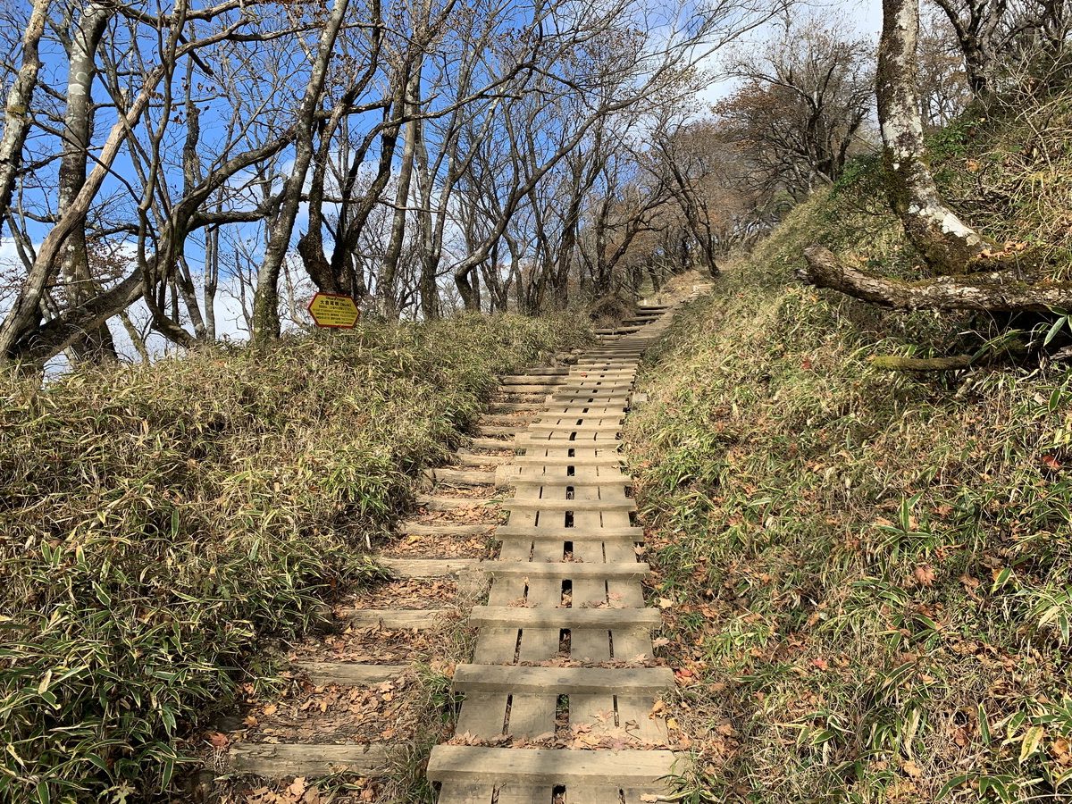
However, since this is Bakaone, you’ll continue to struggle with wooden walkways and stairs until the very end.
It takes about 25 minutes to reach the summit.
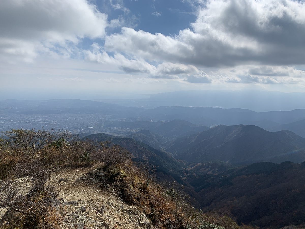
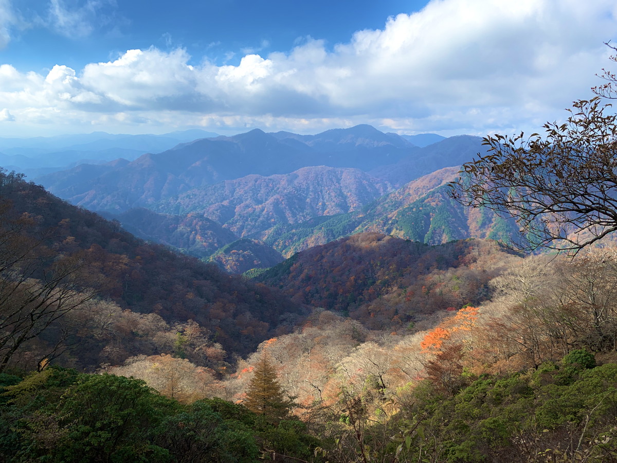
The view opens up.
The final stairs just before the summit.
The winning road.
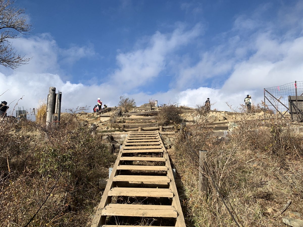
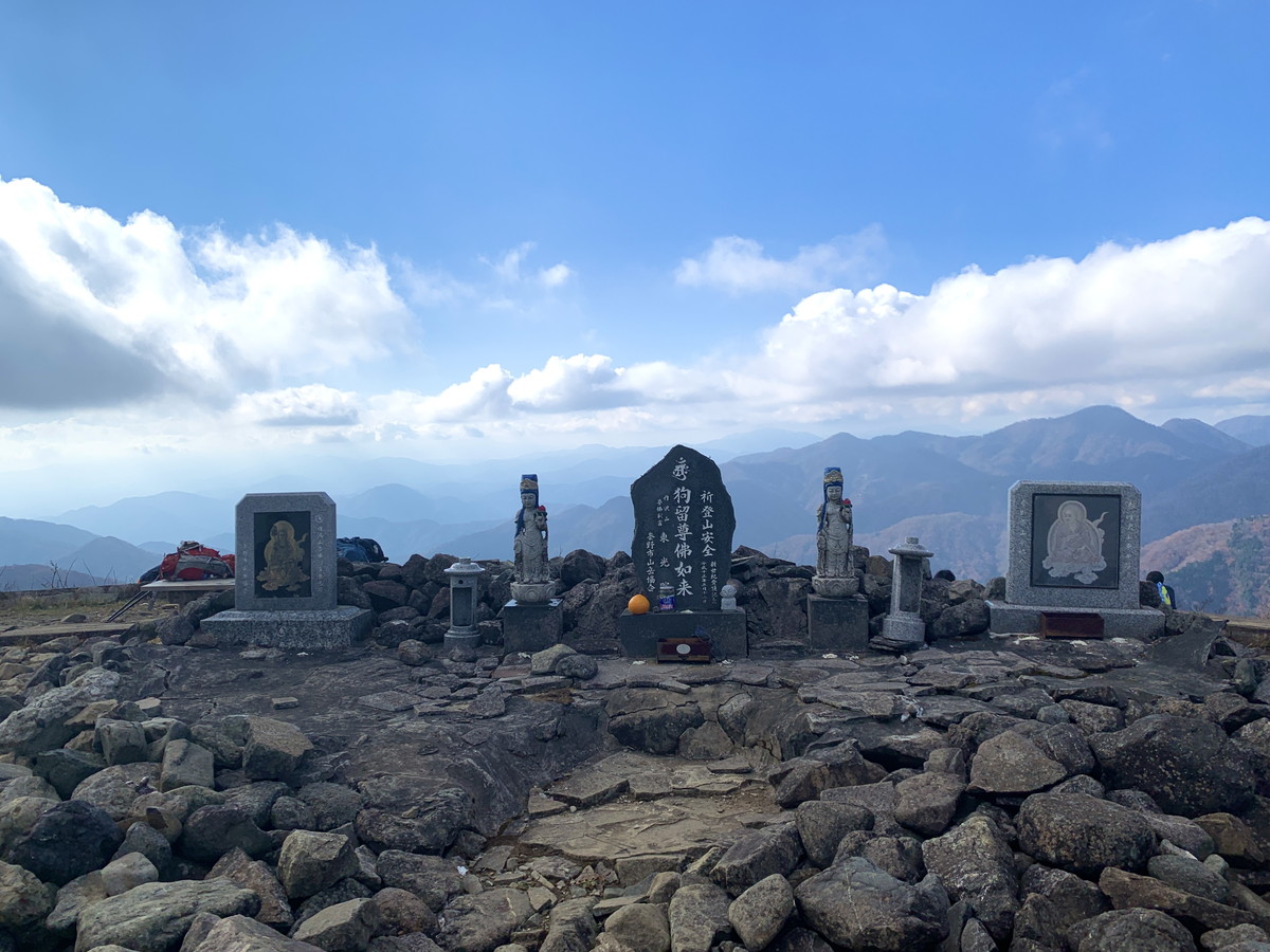
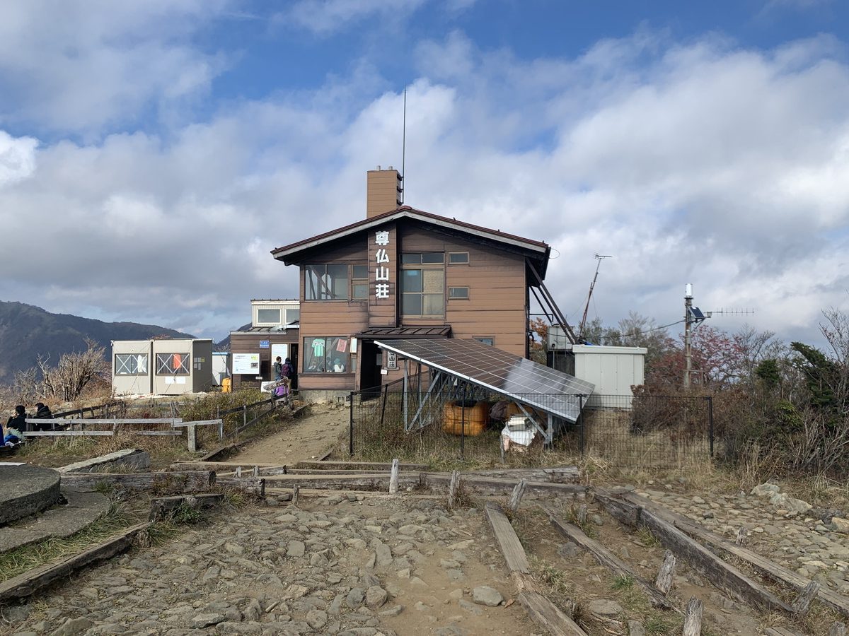
Arriving at the summit of Mt. Tonodake (1,491m).
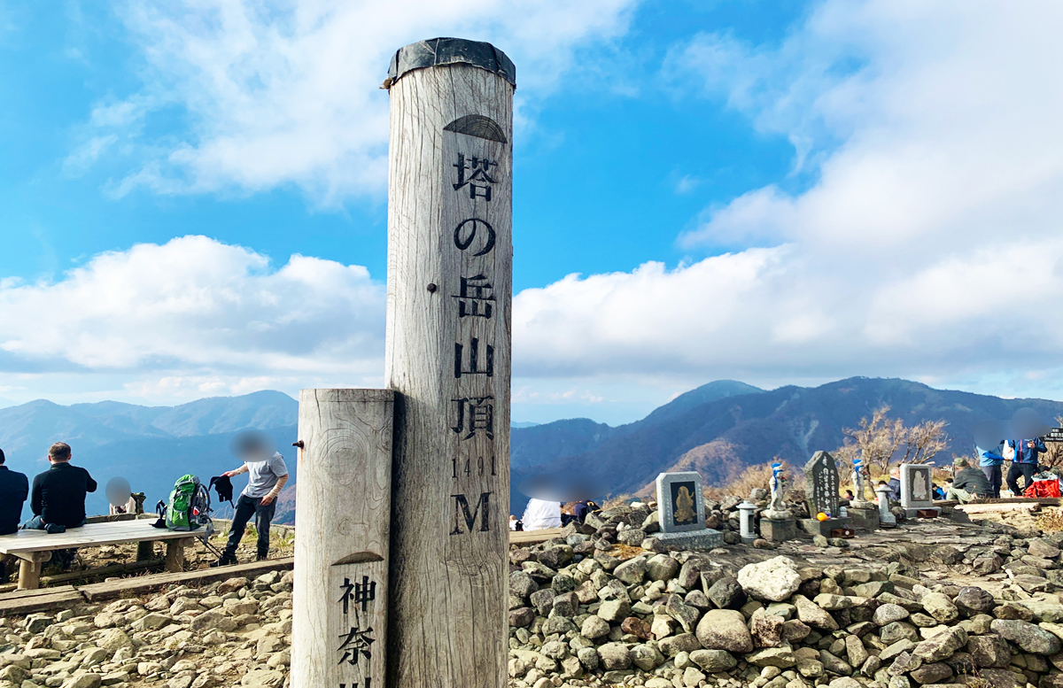
Sonbutsu Mountain Lodge at the summit.
From the summit, you can enjoy a magnificent view of Mount Fuji. However, it often gets cloudy and foggy in the afternoon, so it is recommended to arrive at the summit early in the day to ensure clear views of the mountain.
Since you’re doing a round trip, descend the mountain via the same route you took to climb. This will involve going down the stairs and retracing your steps along the trail.