Mt. Doudokoro→Mt. Kagenobu
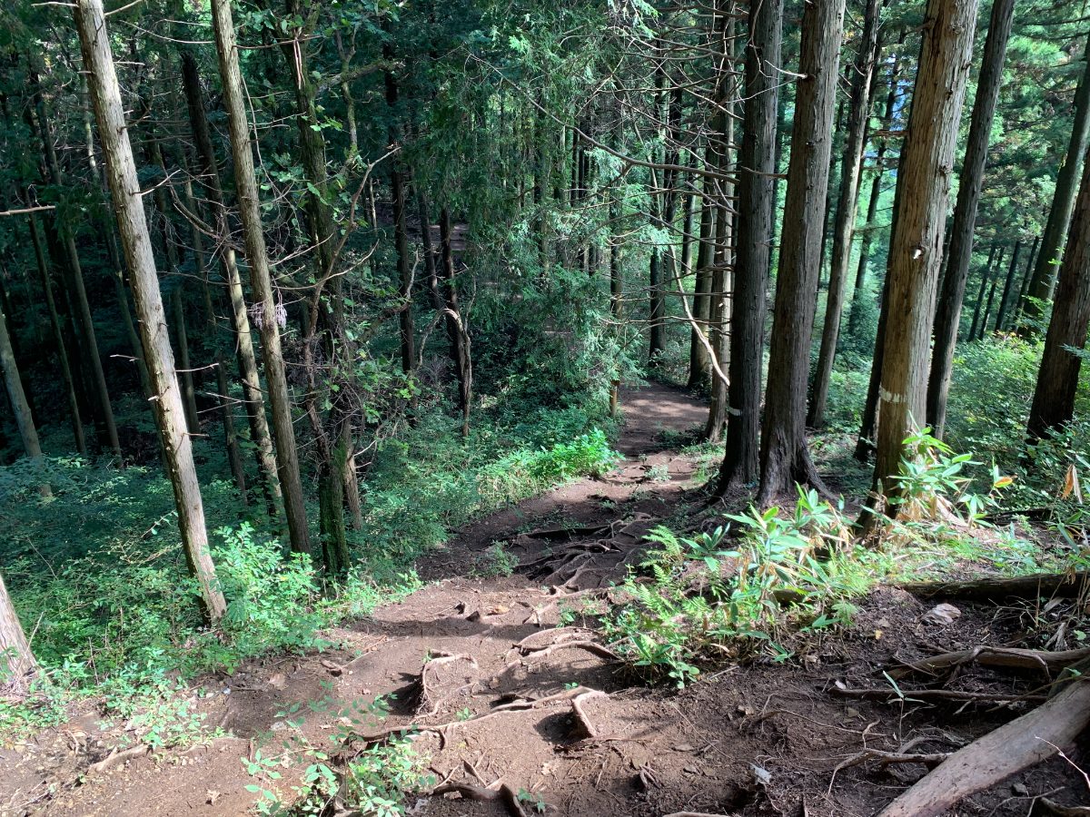
From here, we will head towards Mt. Kagenobu. The course time is approximately 65 minutes. From Mt. Doudokoro to the junction with the Okutakao Traverse route, you will need to descend a somewhat steep slope. Watch your step and walk carefully.
Once you join the main route, there is nothing to worry about.
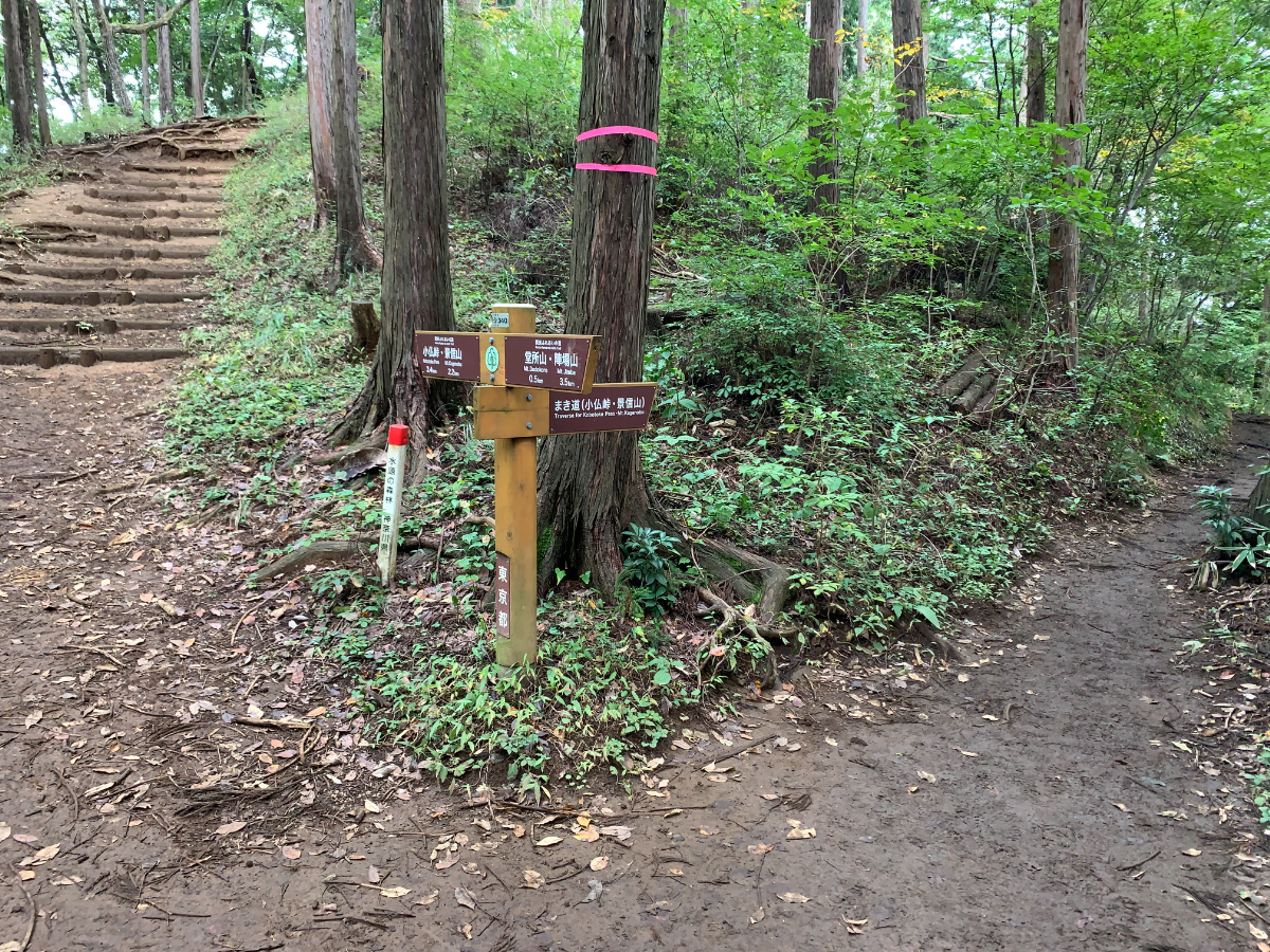
This is the junction right after joining the route.
If you go right, it’s a winding path. This time, we will proceed to the left.
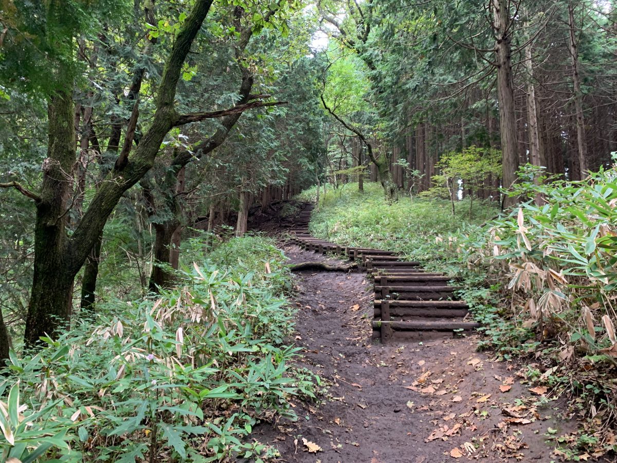
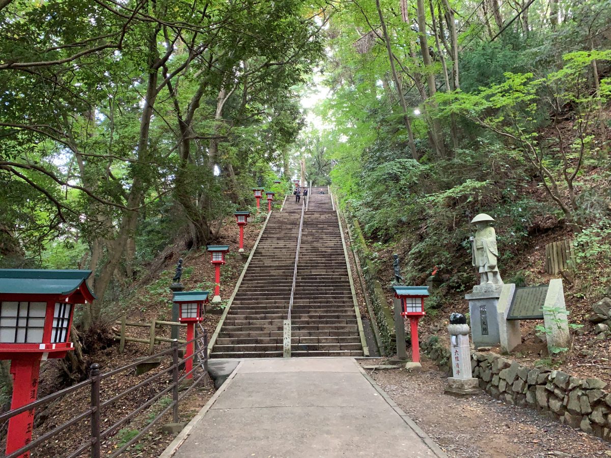
There are also stairs.
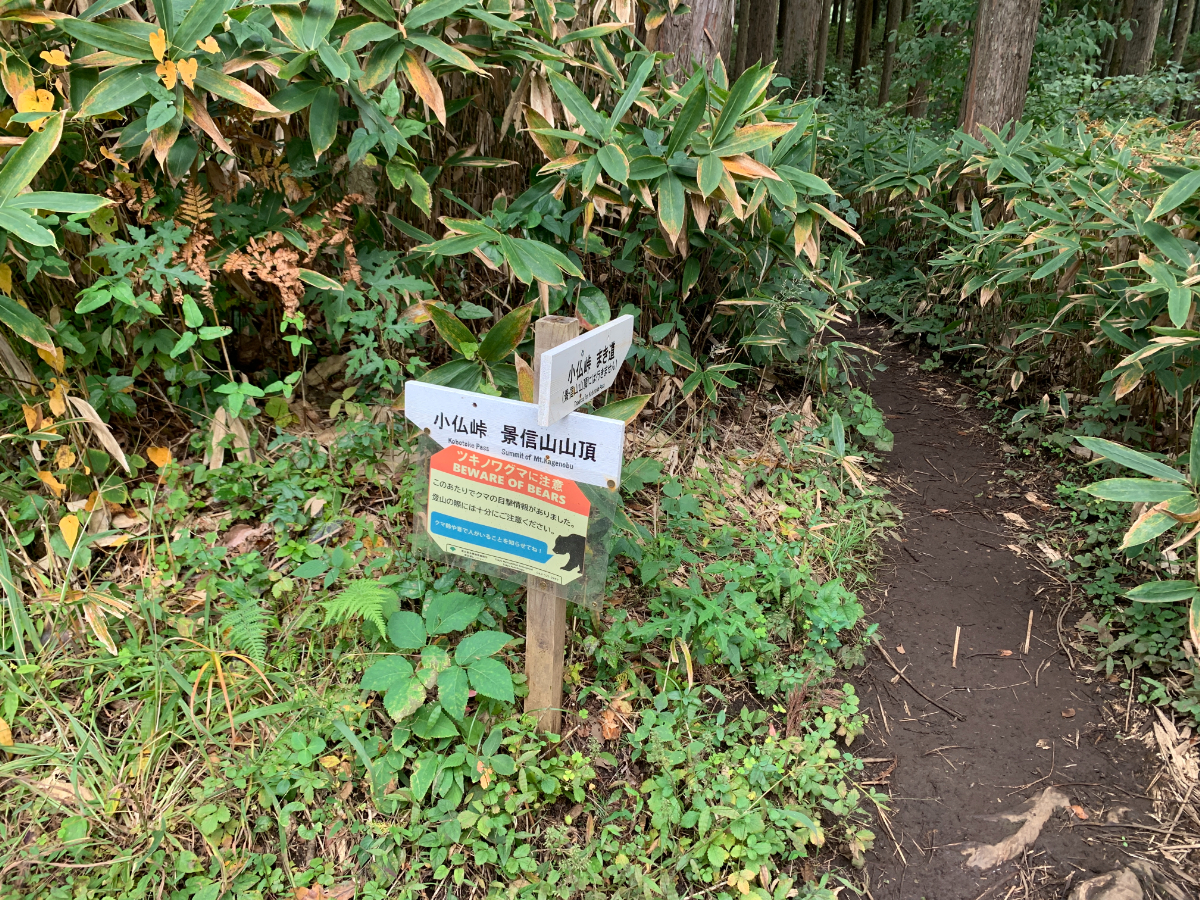
As we approach Mt. Kagenobu, there is a sign warning of Asiatic black bears. From here, it’s an uphill climb again.
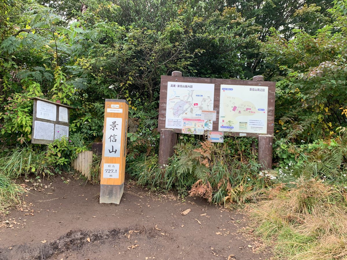
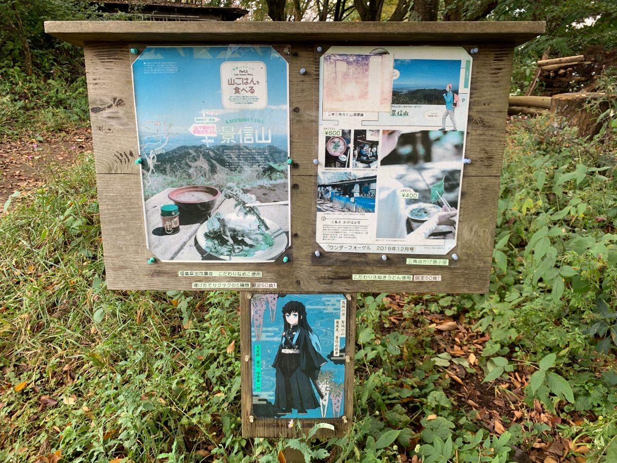
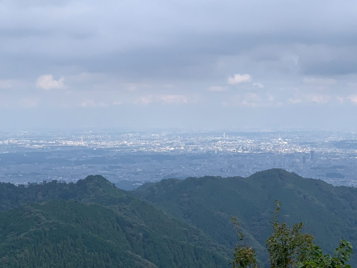
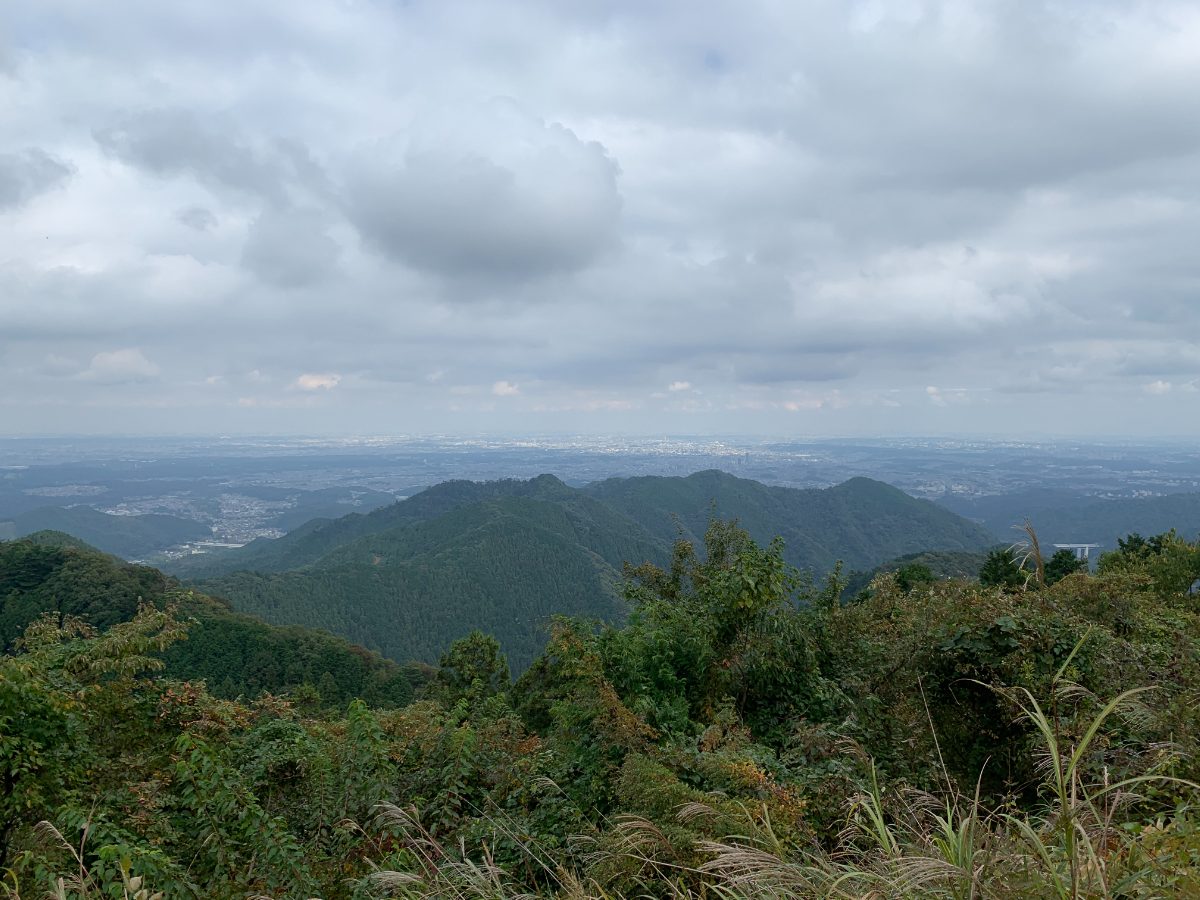
We’ve reached the summit of Mt. Kagenobu (727m).
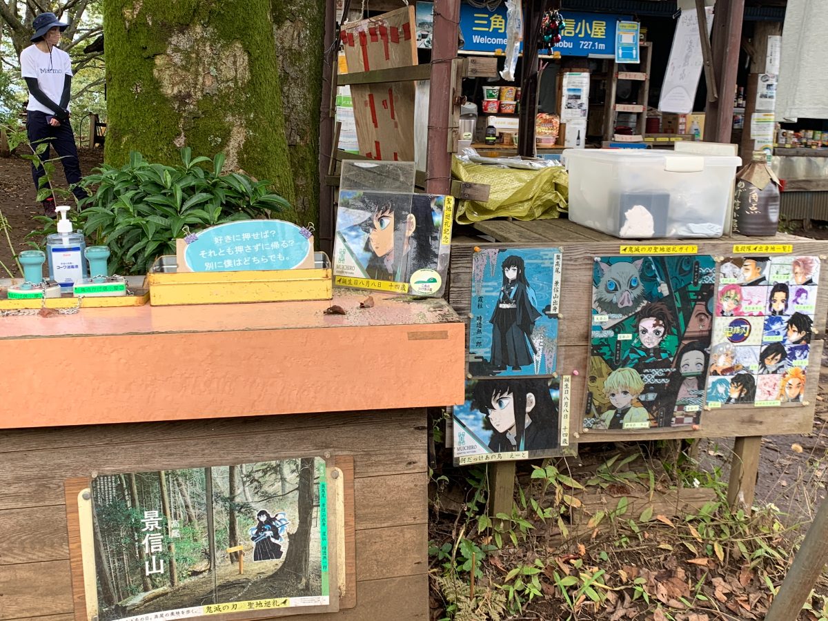
On Mt. Kagenobu, there are two teahouses. Sankakuten Kagenobu Lodge and Kagenobu Teahouse Aoki. If you’re coming from the Jinba side, the first teahouse is Sankakuten Kagenobu Lodge, and the one further in is Kagenobu Teahouse Aoki.
It’s worth noting that Mt. Kagenobu is said to be the birthplace of the “Demon Slayer” anime character, Tokitou Muichirou, and Sankakuten Kagenobu Lodge sells related merchandise.
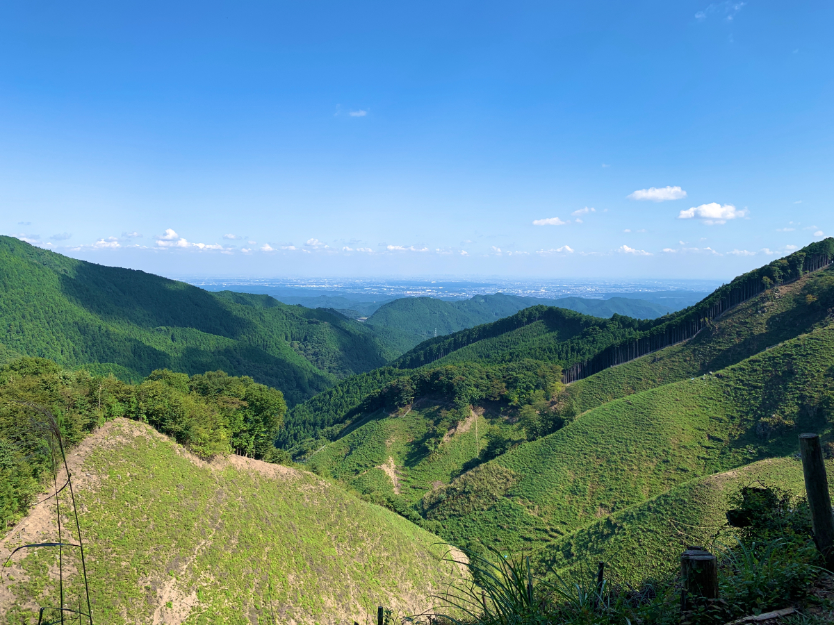
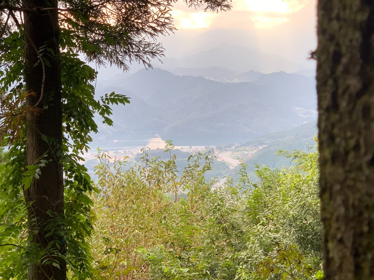
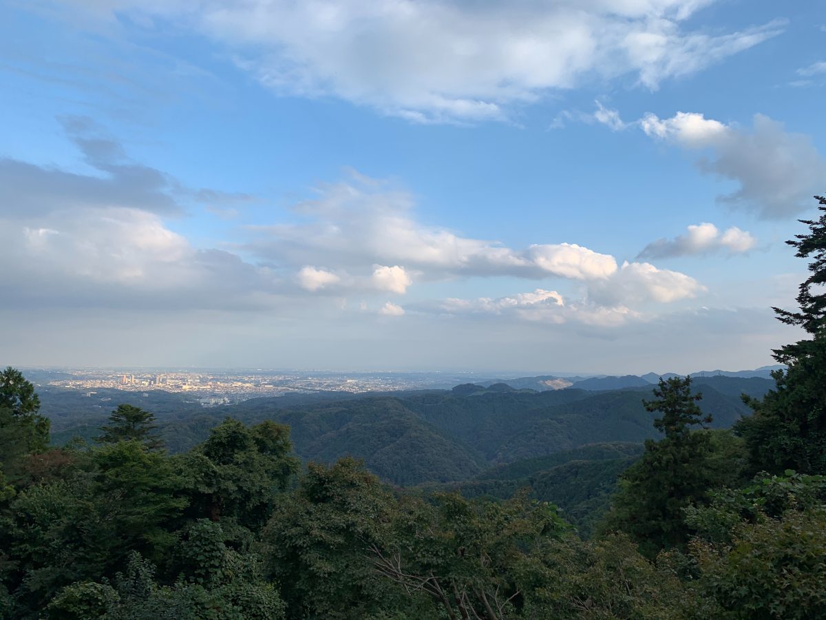
This is the view from the summit.
Mt. Kagenobu→Kobotoke Pass
From Mt. Kagenobu, we will head towards Kobotoke Pass. The course time is approximately 30 minutes.
From Mt. Kagenobu, it’s 1.3 kilometers, and you’ll descend 180 meters in elevation. The steep downhill continues.
Be especially careful if the ground is wet, as it can be slippery.
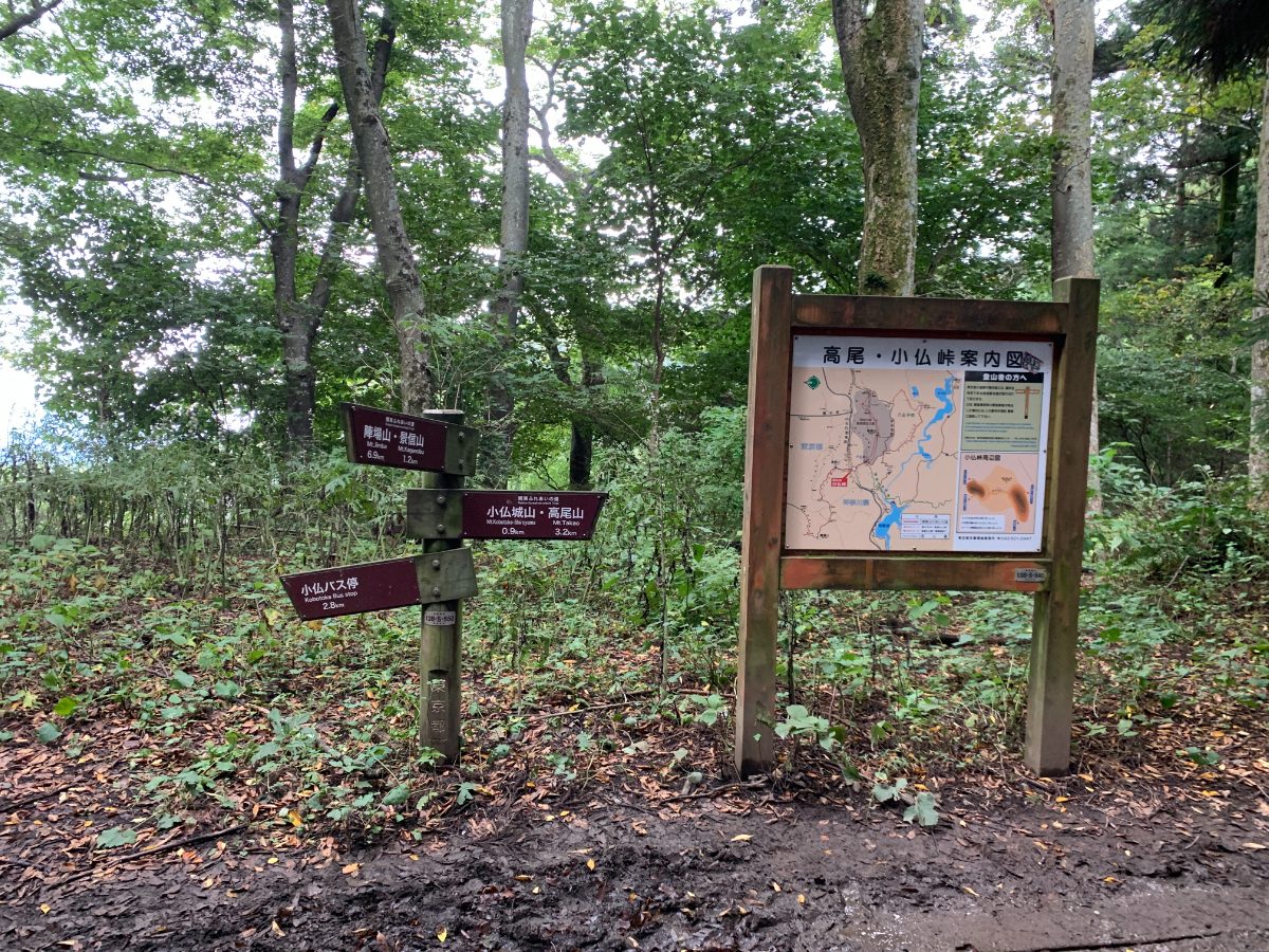
As you continue to descend, you’ll reach Kobotoke Pass (546m).
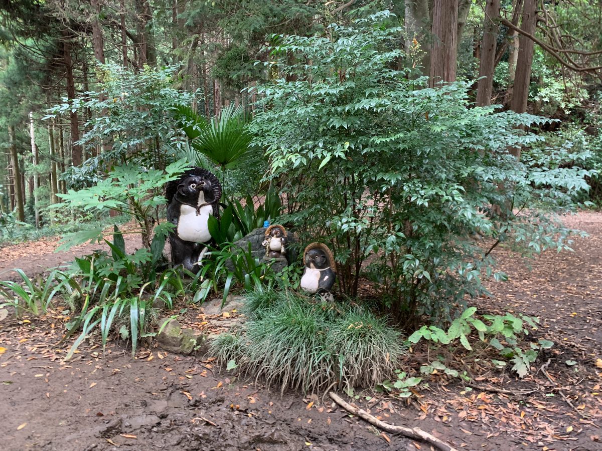
As promised,here’s a tanuki (Japanese raccoon dog).
Kobotoke Pass→Mt.Kobotoke-Shiroyama
When heading from Kobotoke Pass to Mt.Kobotoke-Shiroyama, there are steep stairs, but you can also take the winding path on the left side. There is a good view of Sagami Lake along the way, and there are benches, but if you take the winding path, you’ll need to backtrack a bit after joining the main route.
From Kobotoke Pass to Mt.Kobotoke-Shiroyama, it’s 900 meters, and the course time is 25 minutes. It’s a bit of a climb, so it might be a little tough, but it’s not too far.
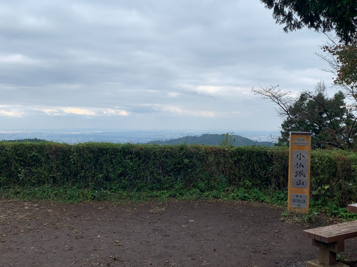
We’ve reached the summit of Mt.Kobotoke-Shiroyama (670m).
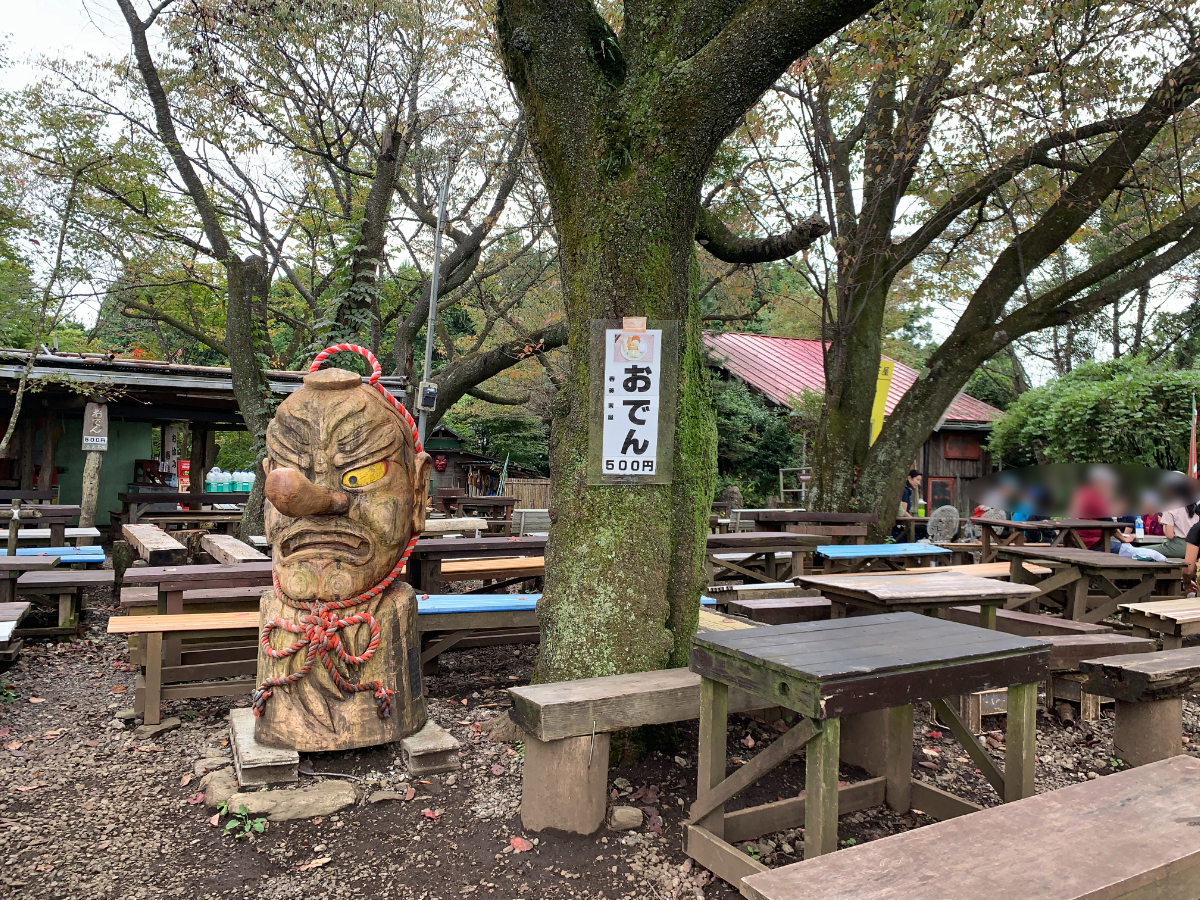
At the summit, there is a Shiroyama Teahouse. The Tengu here is a famous attraction.
Mt.Kobotoke-Shiroyama→Mt. Takao
Now, we will finally head for the last destination, Mt. Takao. The course time is 1 hour.
In the 2.2-kilometer distance, you will descend 200 meters and then climb back up 130 meters. Since it’s the final stretch, and there are also stairs, it might be a little tough.
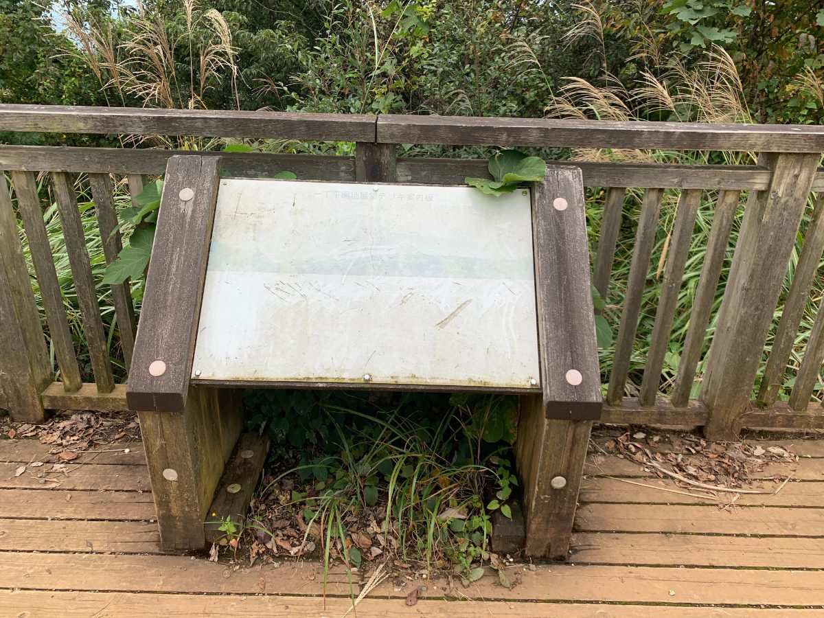
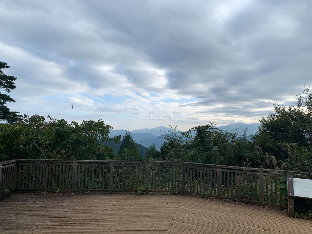
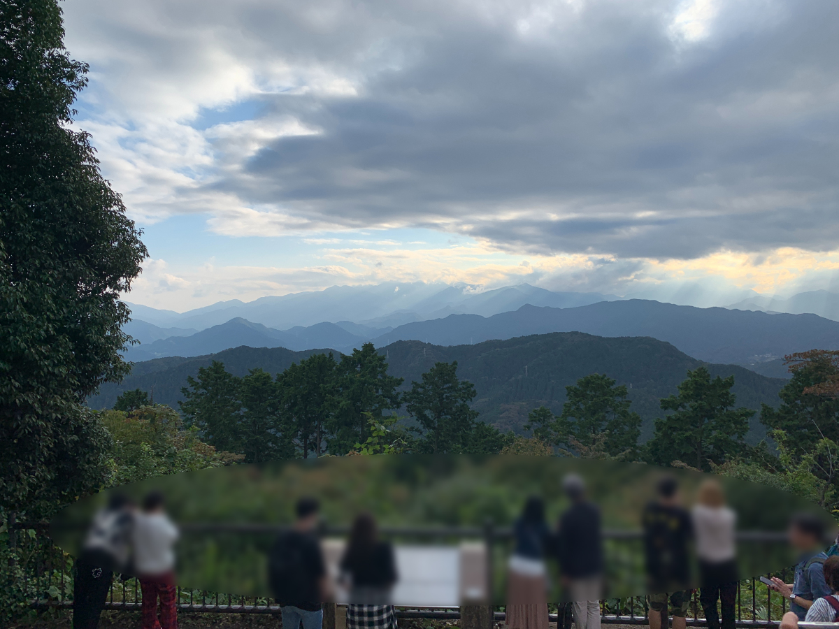
This is the Icchodaira observation deck. Depending on the season, it looks something like this.
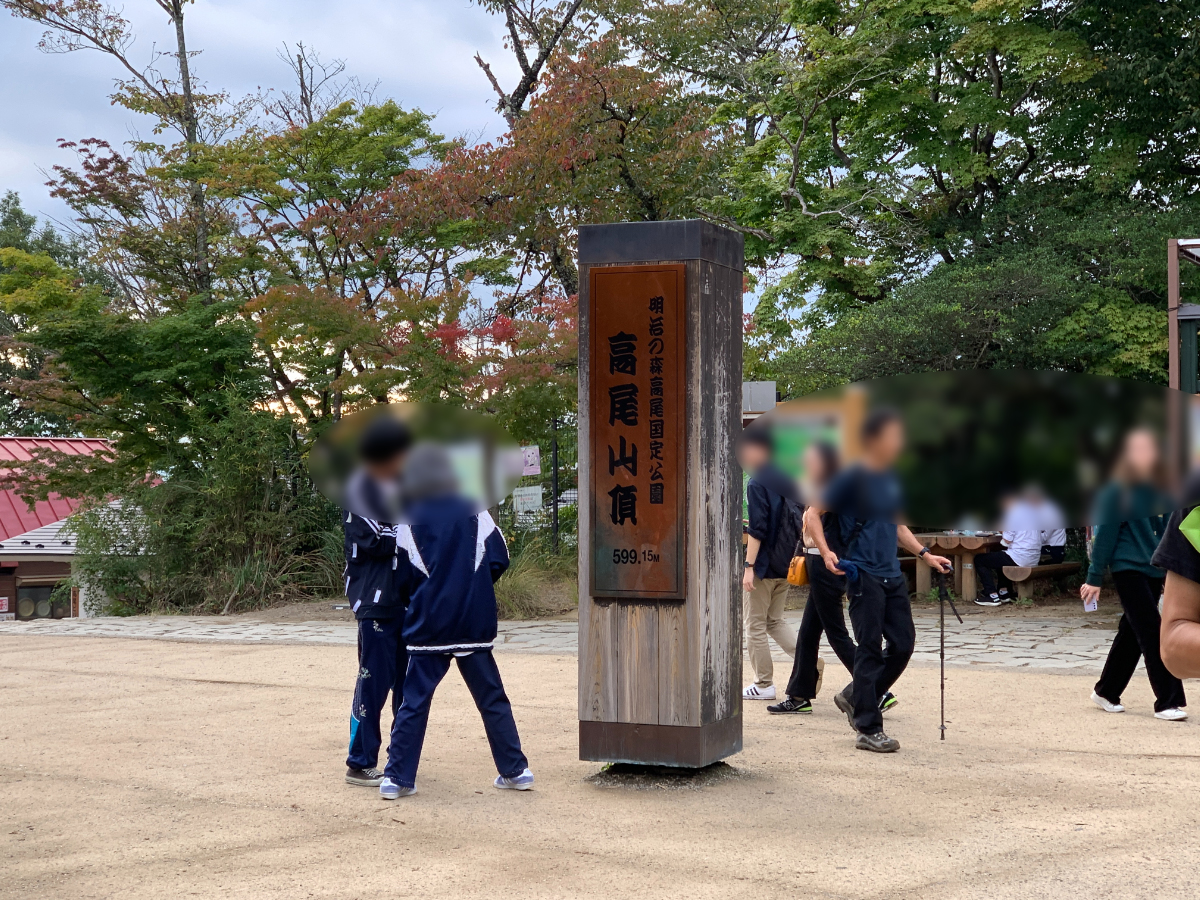
Once you’ve climbed the last set of stairs, you’ll reach the Oomiharashidai observation platform at the summit of Mt. Takao.
Mt. Takao→Takaosanguchi Station
This time, we will descend via Route 1.
The course time will be approximately 80 minutes. The paved Route 1 has a somewhat steep slope in the latter half, which may be hard on your knees. If you’re worried, you can also take the cable car or lift to descend.
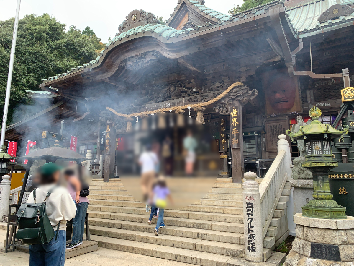
Pass by Yakuo-in Temple,
Kasumidai Park.
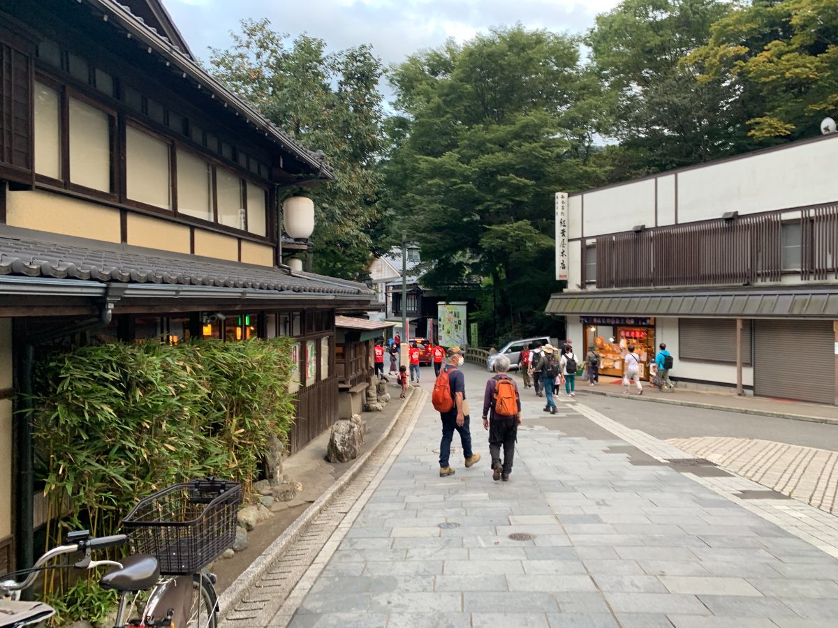
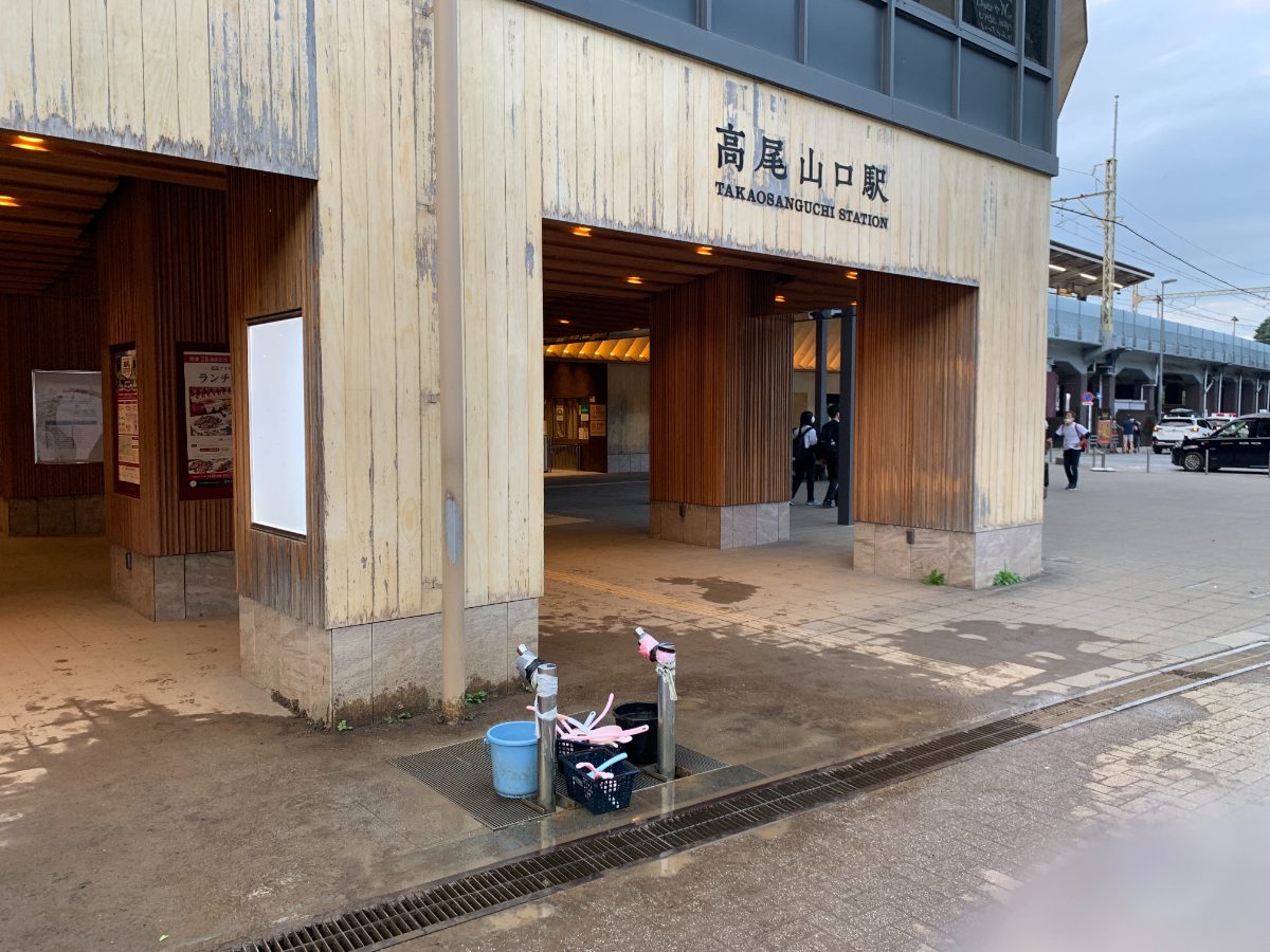
Finally, we arrive at Takaosanguchi Station.
There’s a washing area, so make sure to clean your dirty shoes before getting on the train.