When it comes to the Okutakao Traverse, the route from Mt. Jimba to Mt. Takao is a favorite.
With a distance of about 18 kilometers, a cumulative elevation gain of 1,200 meters, and a descent of 1,300 meters, this long route is popular due to the quieter and more comfortable trails compared to those on Mt. Takao.
While there are no dangerous spots and it’s suitable for beginners, comfortable shoes are essential. Since it’s a long course, it’s important to be prepared for possible weather changes along the way, so don’t forget to bring standard hiking gear such as rainwear and a headlamp.
Route
Jimba-Kougen-shita Bus stop → Jimbashindo trailhead → Mt.Jimba → Myo-o Pass→ Sokozawa Pass → Mt.Doutokoro → Mt.Kagenobu → Kobotoke Pass → Mt.kobotoke-Shiroyama → Icchodaira → Mt.Takao → Takaosanguchi Station
Distance: about 18 km
The course time: 7 hours
Dangerous areas
There are no particularly dangerous spots, but the trail between Mt. Kagenobu and Kobotoke Pass becomes very slippery after rain, with steep inclines. Many people slip and fall, and rescues sometimes occur, so caution is needed.
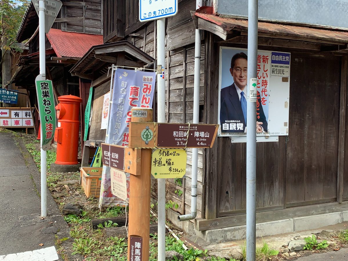
Takao Station → Jimba-Kougen-shita Bus stop
From the north exit of Takao Station, take a bus to Jimba Kougen Shita Bus Stop.
The ride takes about 40 minutes. On this day, I took the bus that left Takao Station North Exit at 8:40 and arrived at Jimba Kougen Shita Bus Stop at 9:20.
The bus departs from bus stop number 1.
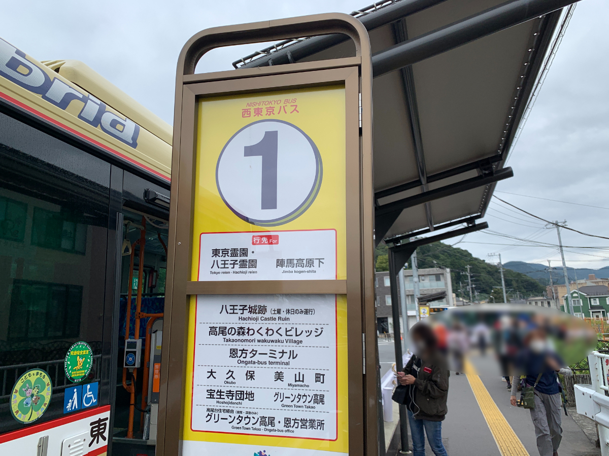
This day was a Sunday, so there was a long line, but there were extra buses, so don’t worry about not being able to get on.
Jimba Kougen Shita Bus Stop → Jimba Shindo Trailhead
In just under 40 minutes, you’ll arrive at Jimba Kougen Shita Bus Stop.
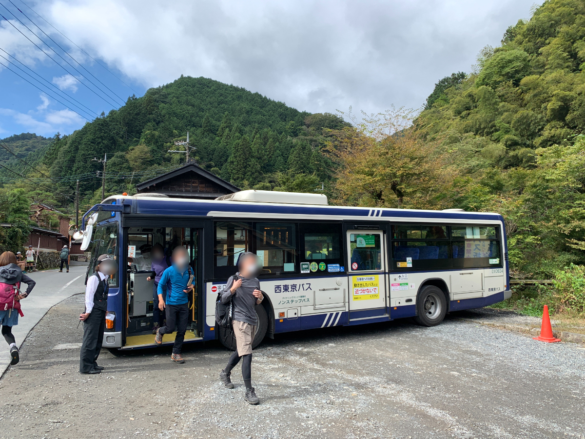
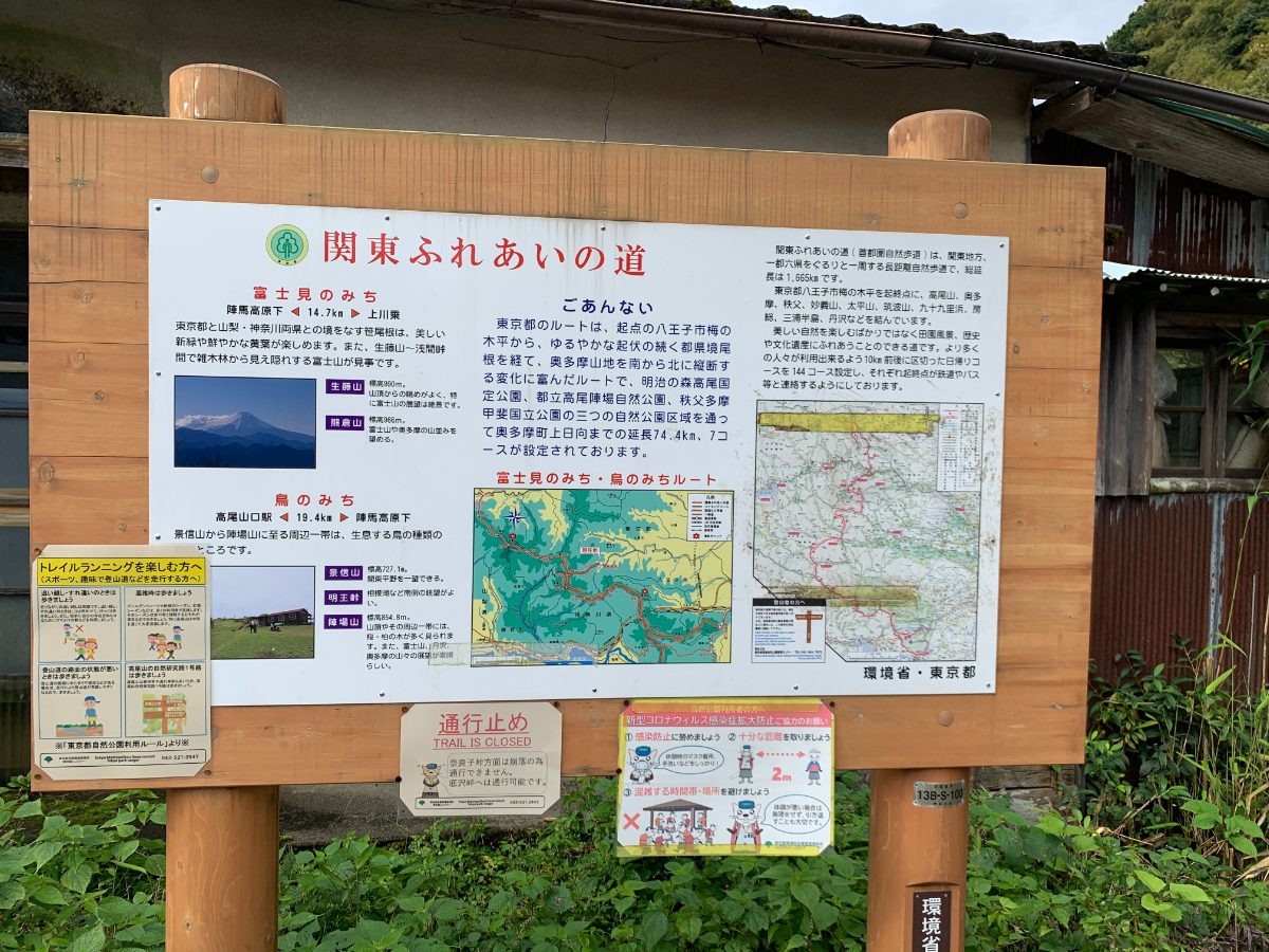
At the bus stop, check for any road closure information.
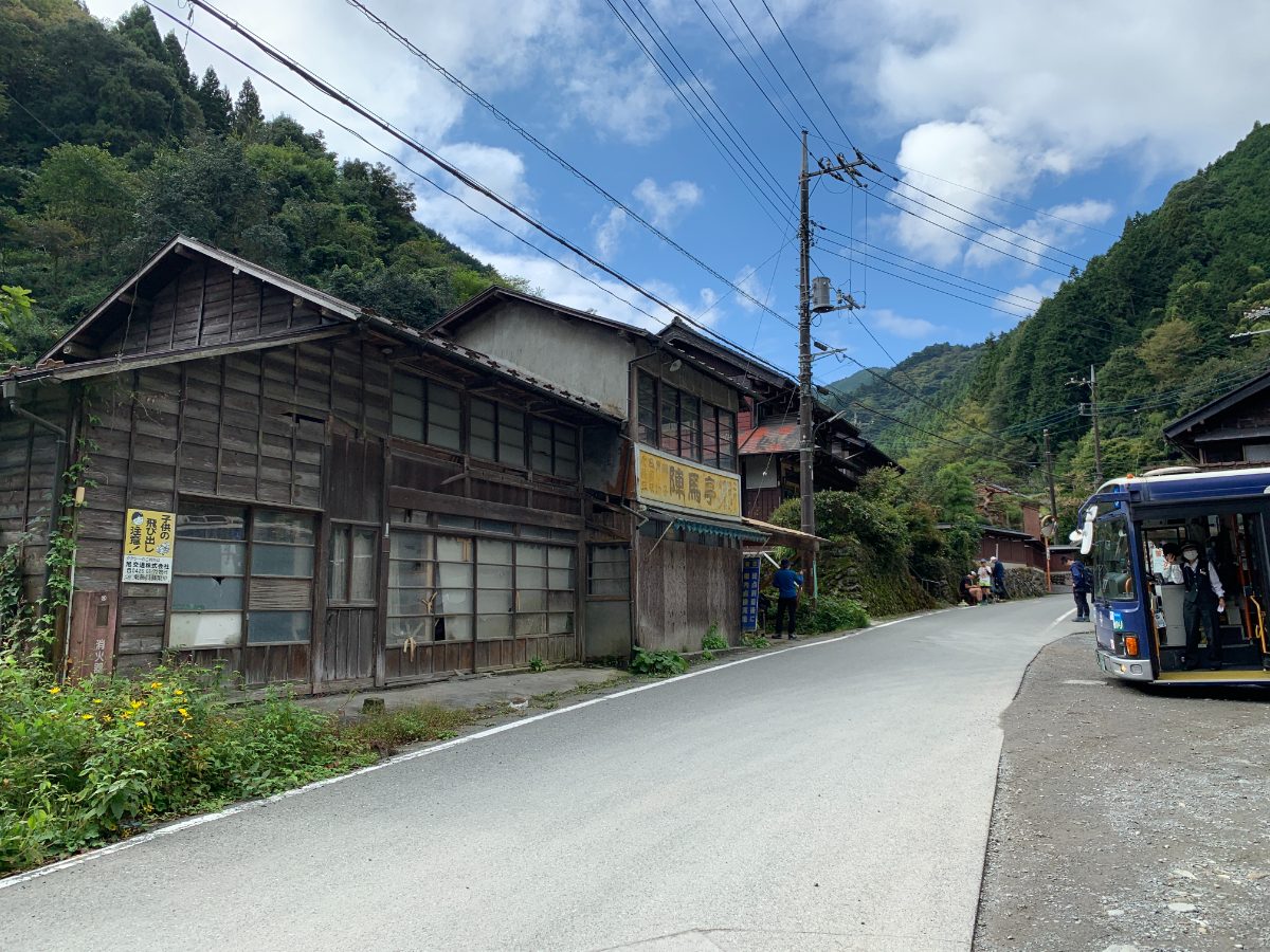
The now-abandoned Jimba Tei. According to the sign, it used to be a shop.
With the bus stop behind you, walk up the slope.
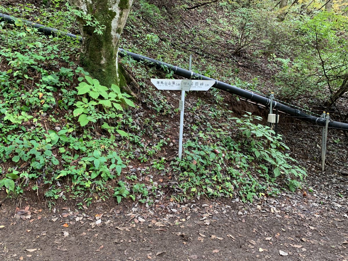
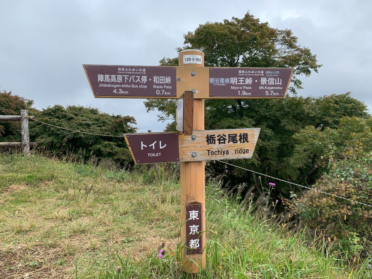
Follow the signpost and continue straight.
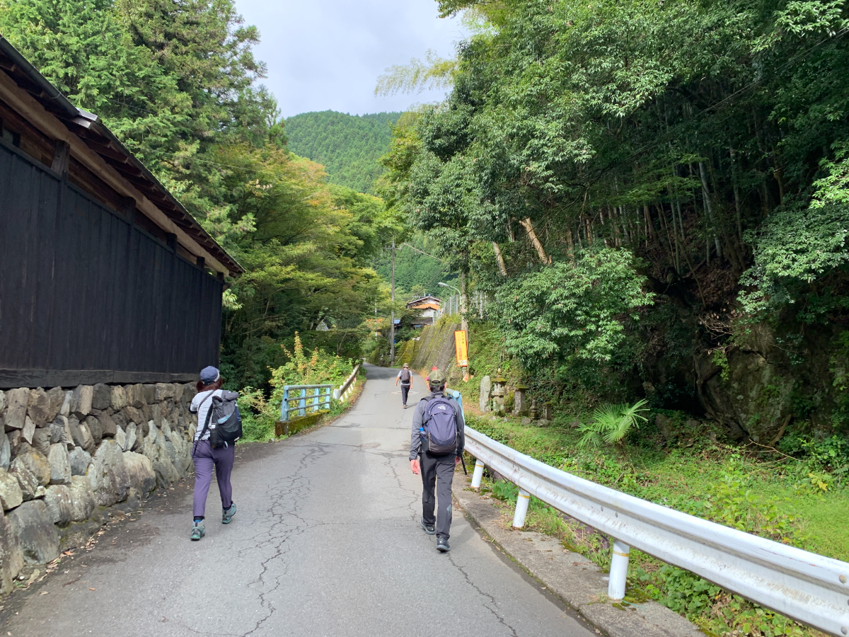
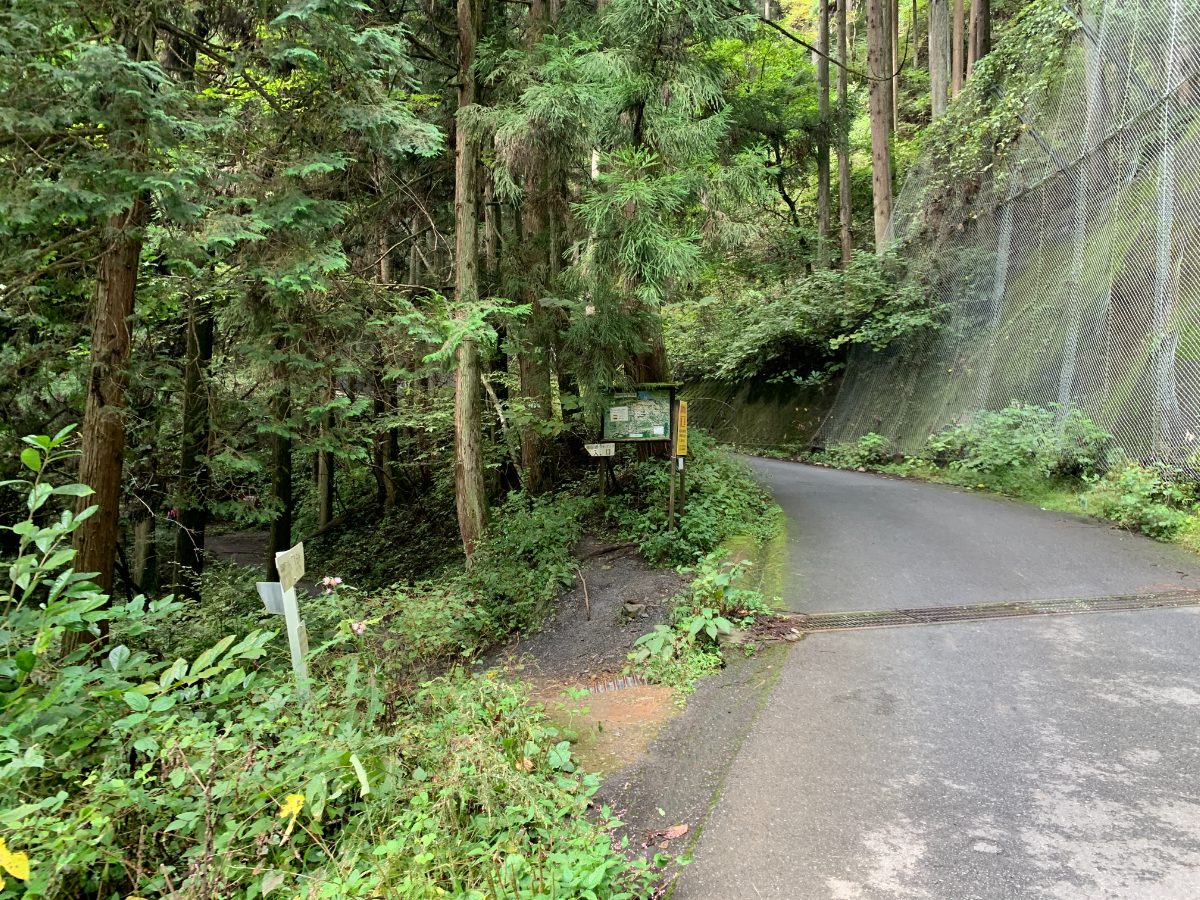
After about 20 minutes, a trail entrance appears on the left side. Turn left here to enter Jimba Shindo (New Hiking Course), and continue straight to head towards Wada Pass. This time, we’ll take the left route to Jinba Shindo.
Jimba Shindo Trailhead → Mt. Jimba
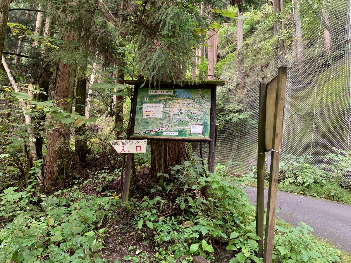
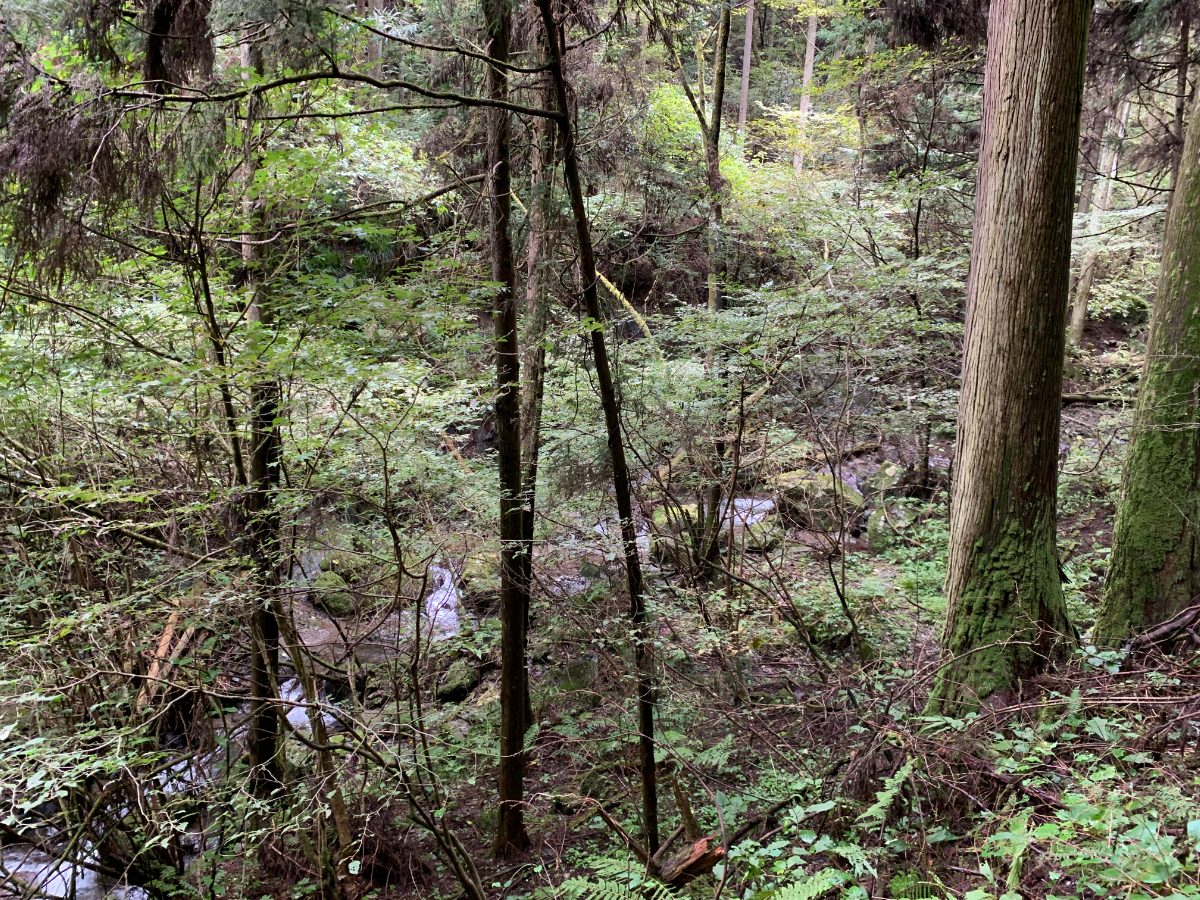
Proceed while keeping the stream on your left.
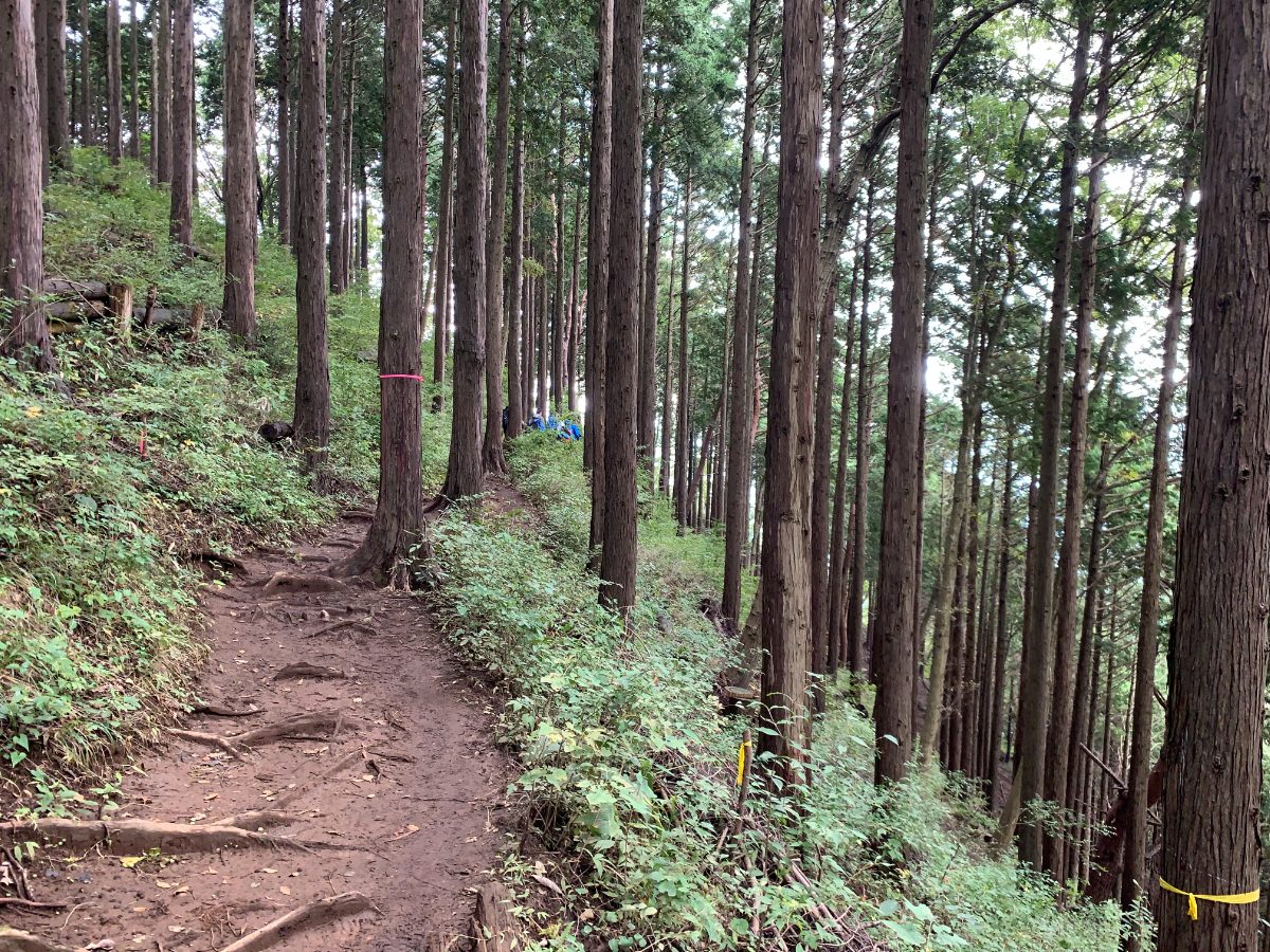
Follow the signposts to the summit of Mt.Jimba. The course time from the trailhead entrance to the summit is 60 minutes, but it is a tough climb.Note that there are some narrow areas at the beginning of the climb. From the midpoint, the trail is wide with overhanging tree roots.
There are trail markers here and there, so you won’t get lost.
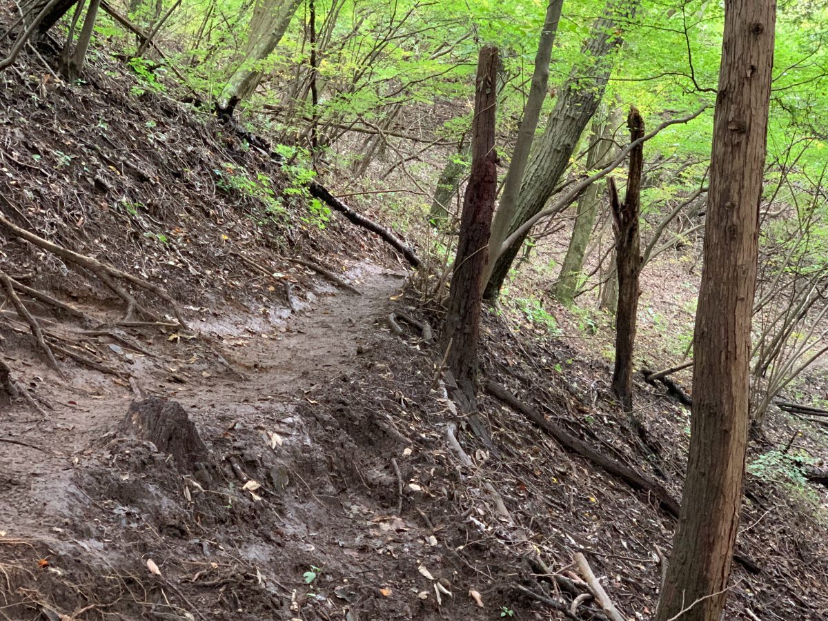
Since it rained the day before, some areas were a bit muddy.
There were fallen trees and some difficult-to-walk sections.
400 meters to the summit, almost there.
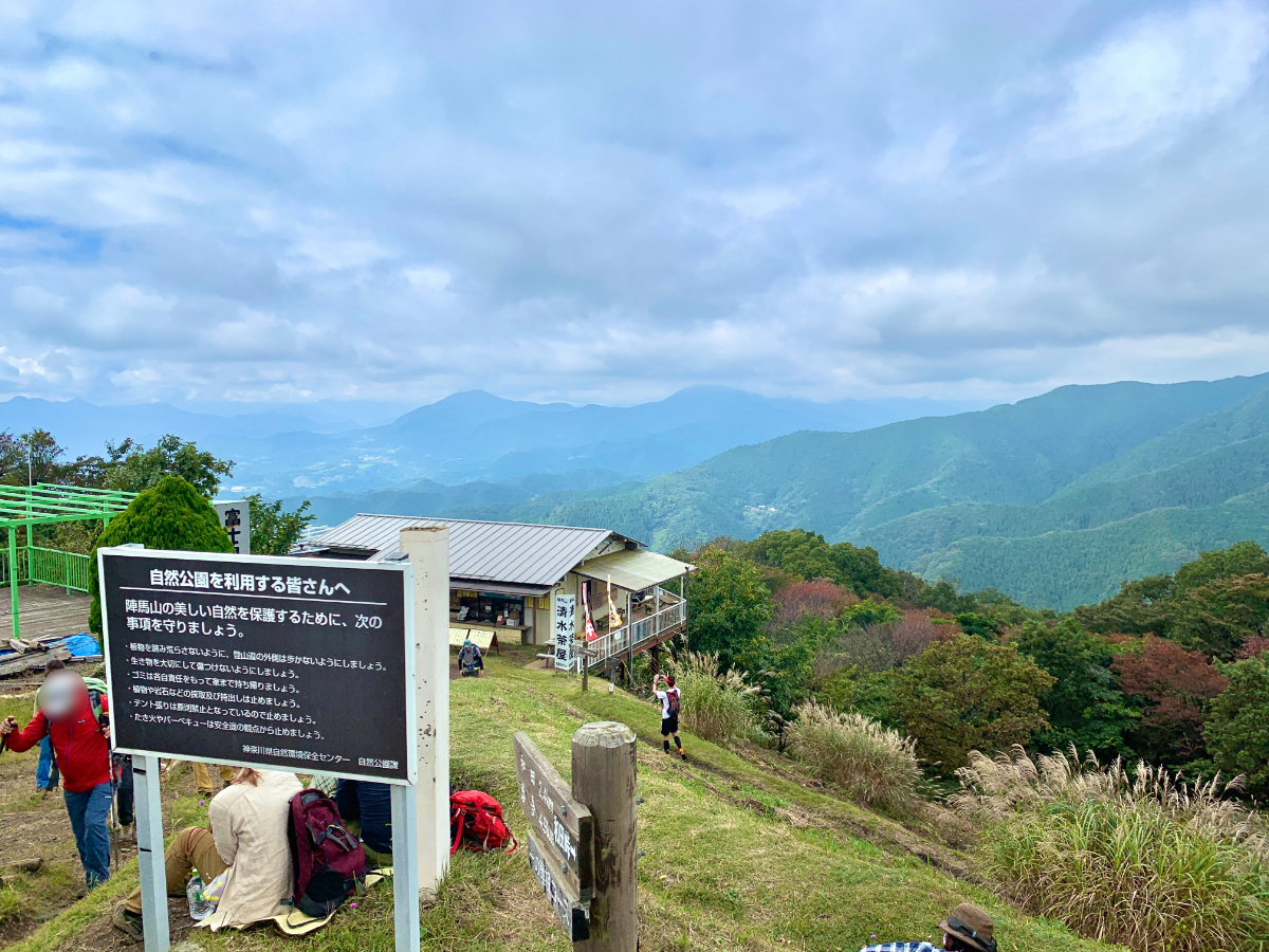
Pass through the susuki grass and arrive at the summit of Mt. Jimba, which has an elevation of 855 meters.
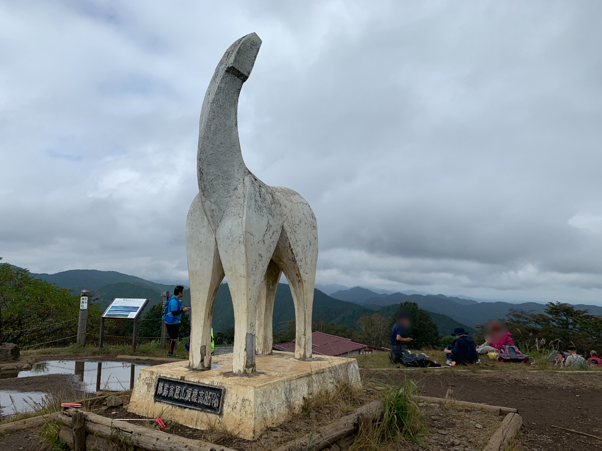
The iconic white horse statue awaits you.
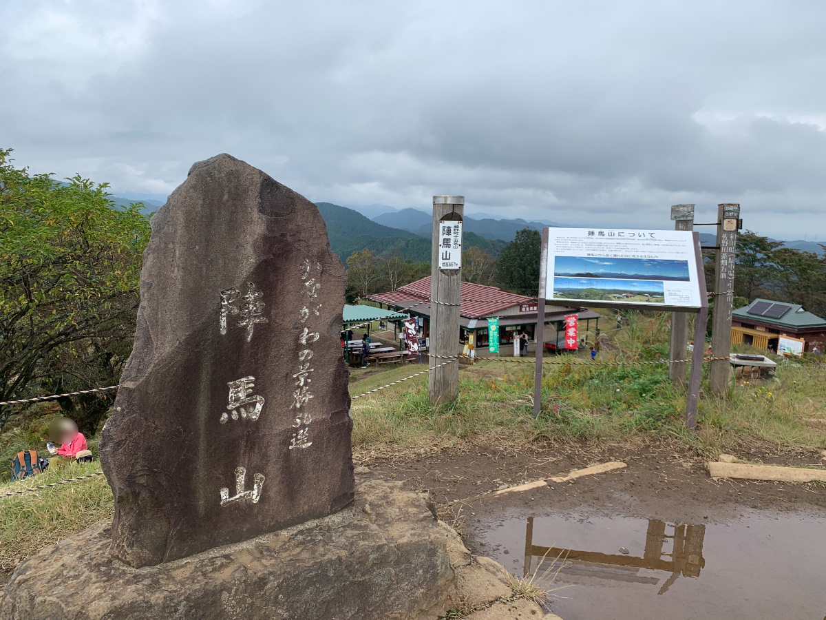
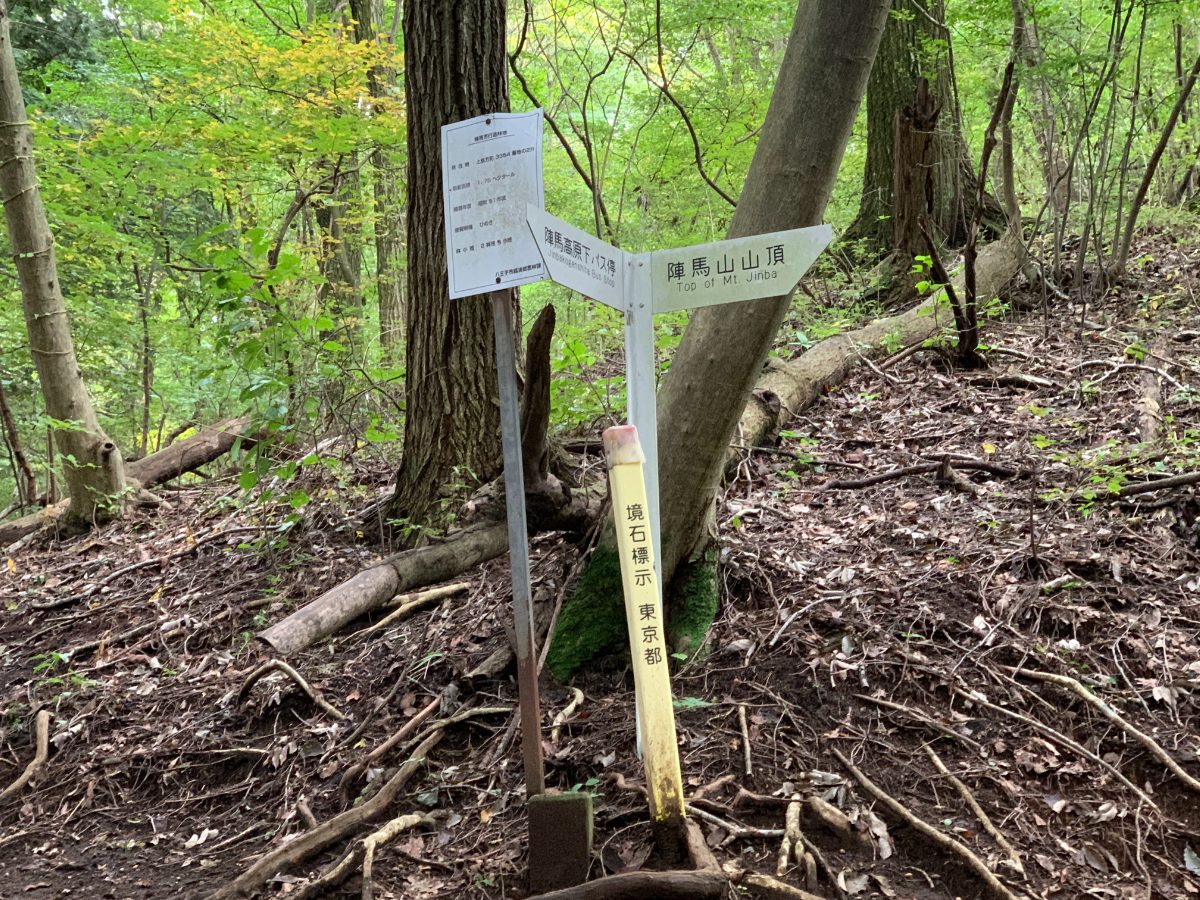
Since Mt. Jimba is on the border of Tokyo and Kanagawa Prefectures, there’s also a monument for one of Kanagawa’s top 50 scenic spots.
Mt.Jimba → Myo-o Pass
Leaving the summit of Mt. Jimba, head for Myo-o Pass.
There are many hikers, and the trail is wide.
Even the narrowest parts have this much width.
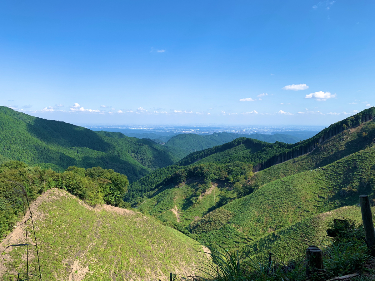
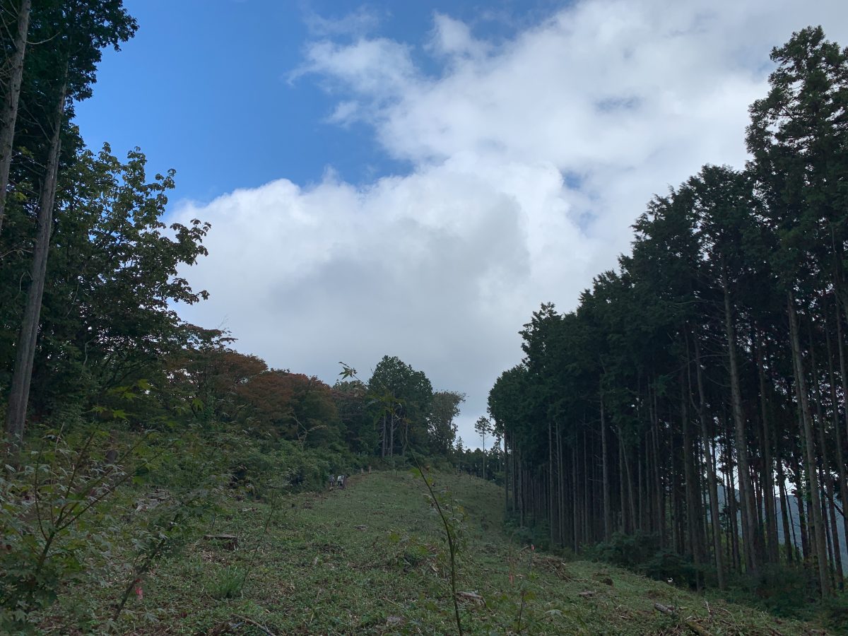
Since the highest point of this route is Mt. Jimba, the basic tone is downhill, but there are ascents at Mt. Kagenobu, Kobotoke Shiroyama, and Mt. Takao. Myo-o Pass is mostly a gentle downhill, so it might be the most relaxed part of the route.
Along the way, you’ll pass through Nango Mountain (789m) and Fuji Koya Mountain (760m), but honestly, I couldn’t tell where the peaks were even when I was paying attention.
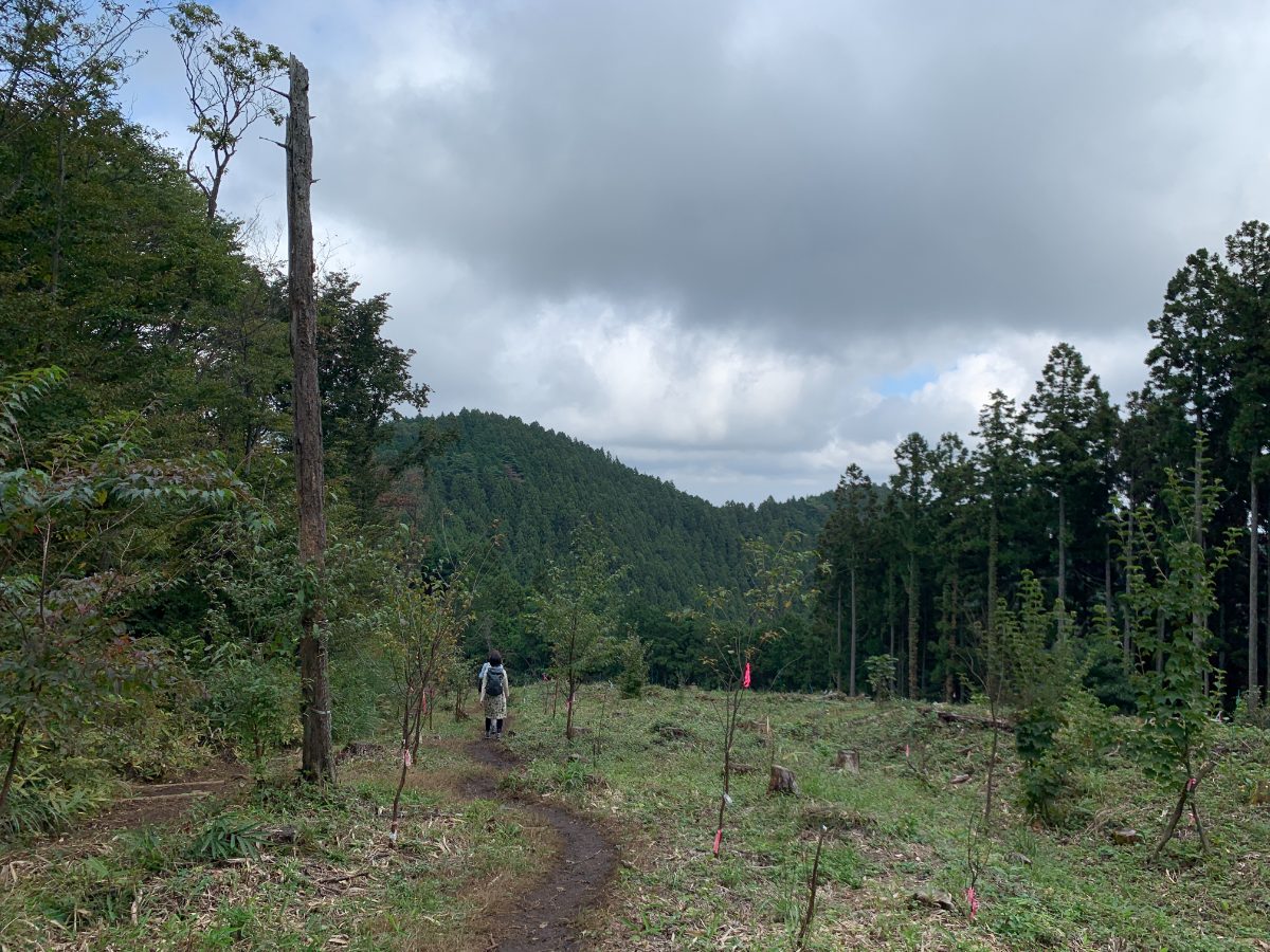
After about 40 minutes, you’ll arrive at Myo-o Pass (739m).
There’s a teahouse at Myo-o Pass, but as you can see, it’s practically a ruin.
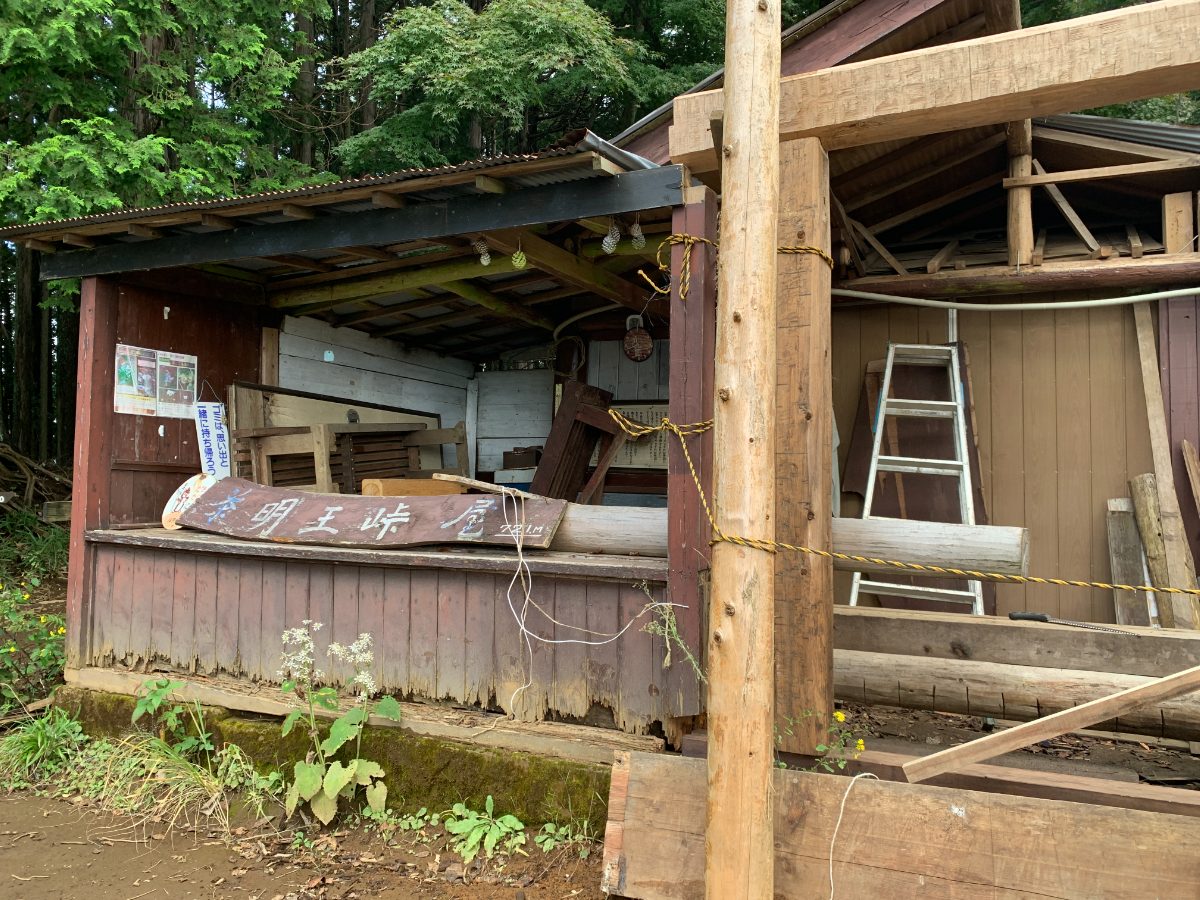
However, it seems that work is being done to restore the teahouse, so it may reopen in the near future.
Myo-o Pass→Mt. Doudokoro
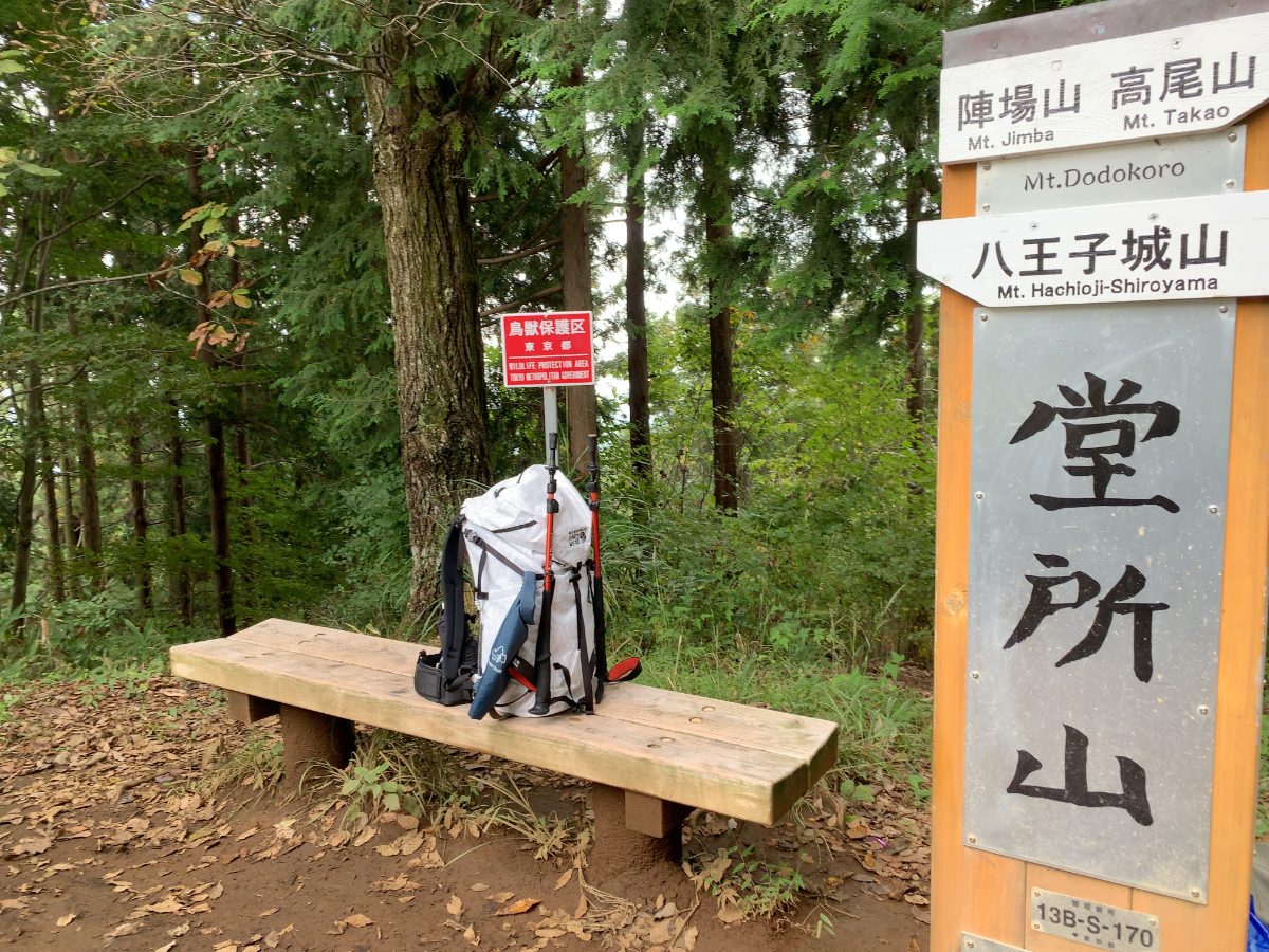
After passing Myo-o Pass, we aim for Mt. Doudokoro.
In fact, Mt. Doudokoro is slightly off the main Okutakao Traverse route, but it’s not too far away. Although it is a junction point between the North Takao Ridge route and the Okutakao Traverse route, there are few people, and there are no views, but it is suitable for a quiet lunch.
We will descend slightly from Myo-o Pass.
We pass through Sokozawa Pass (713m).
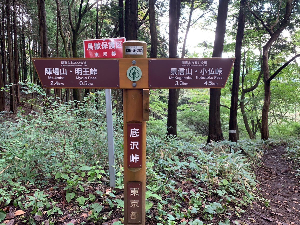
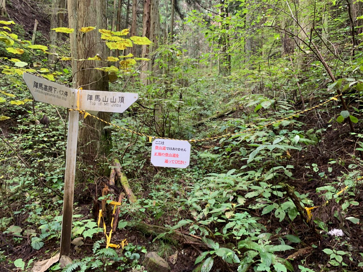
When we pass the halfway point from Sokozawa Pass to Mt. Doudokoro, we see this sign.
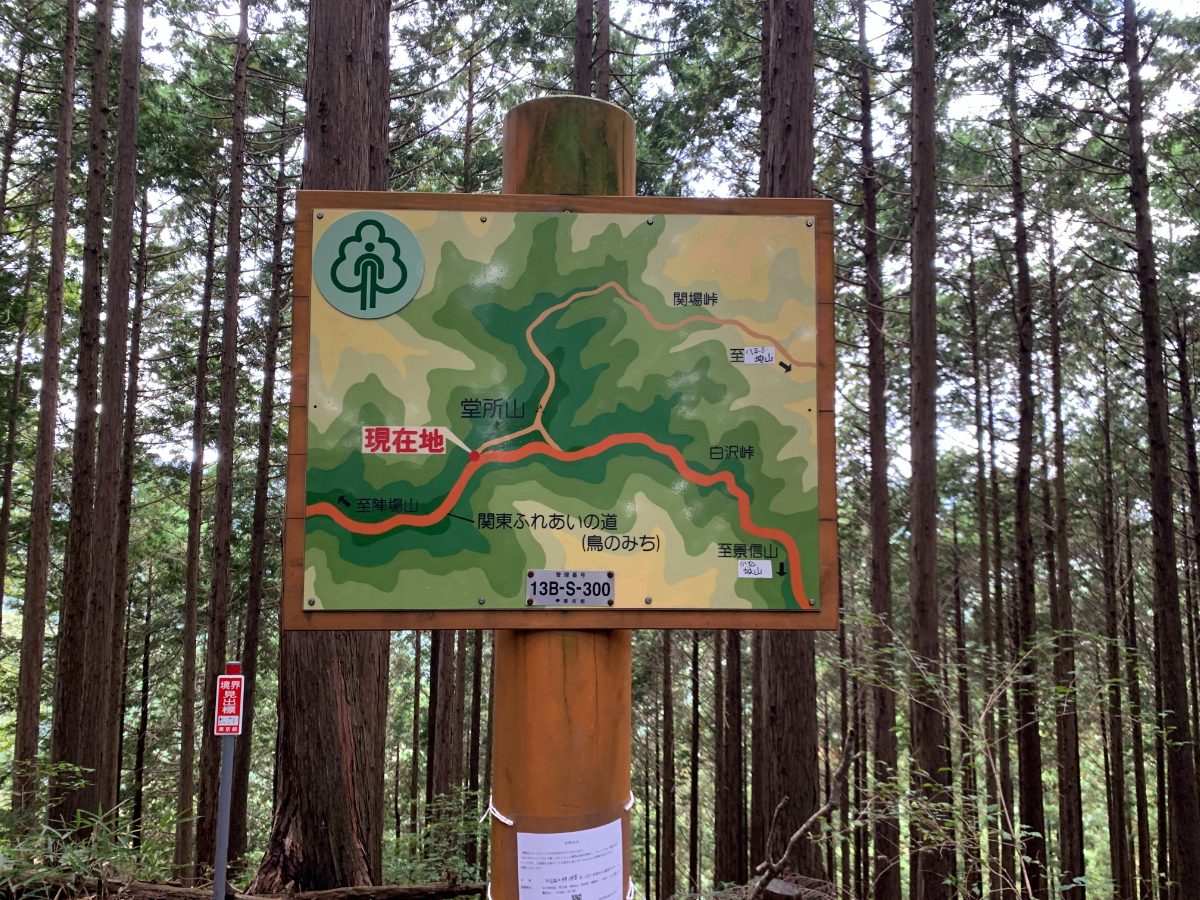
After climbing up a bit, we reach the summit of Mt. Doudokoro (731m).