Starting from Ikusabata Station, which is about 1 hour and 20 minutes from Shinjuku Station, this popular course offers convenient access to the trailheads and mountain bases, as well as enjoyable rocky sections, steep climbs, and excellent views.
Route
Ikusabata Station → Mt. Takamizu → Mt. Iwatake-ishiyama → Mt. Sogaku → Mitake Station
Distance: 9.4Km
Course time: 5 hours
Dangerous spots
There are some rocky sections just before the peak of Mt. Iwatake-ishiyama and Mt. Sogaku. While they are not particularly dangerous if you use your hands, it’s a good idea to bring gloves just in case.
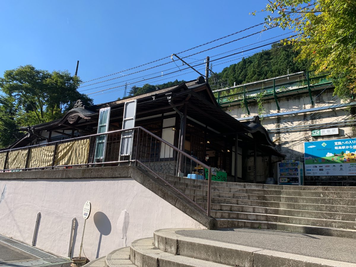
Ōme Line Ikusabata Station
The hike starts from Ikusabata Station on the Ome Line.
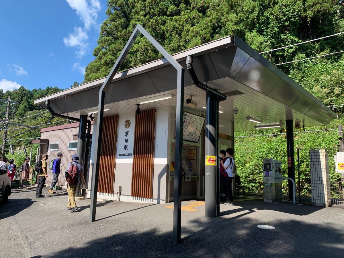
Although the station accepts IC cards, the train service is infrequent, with only two trains arriving per hour. If you’re coming from Tokyo, the start time will be later due to the transfer.
However, the short course time means this shouldn’t be a major issue.
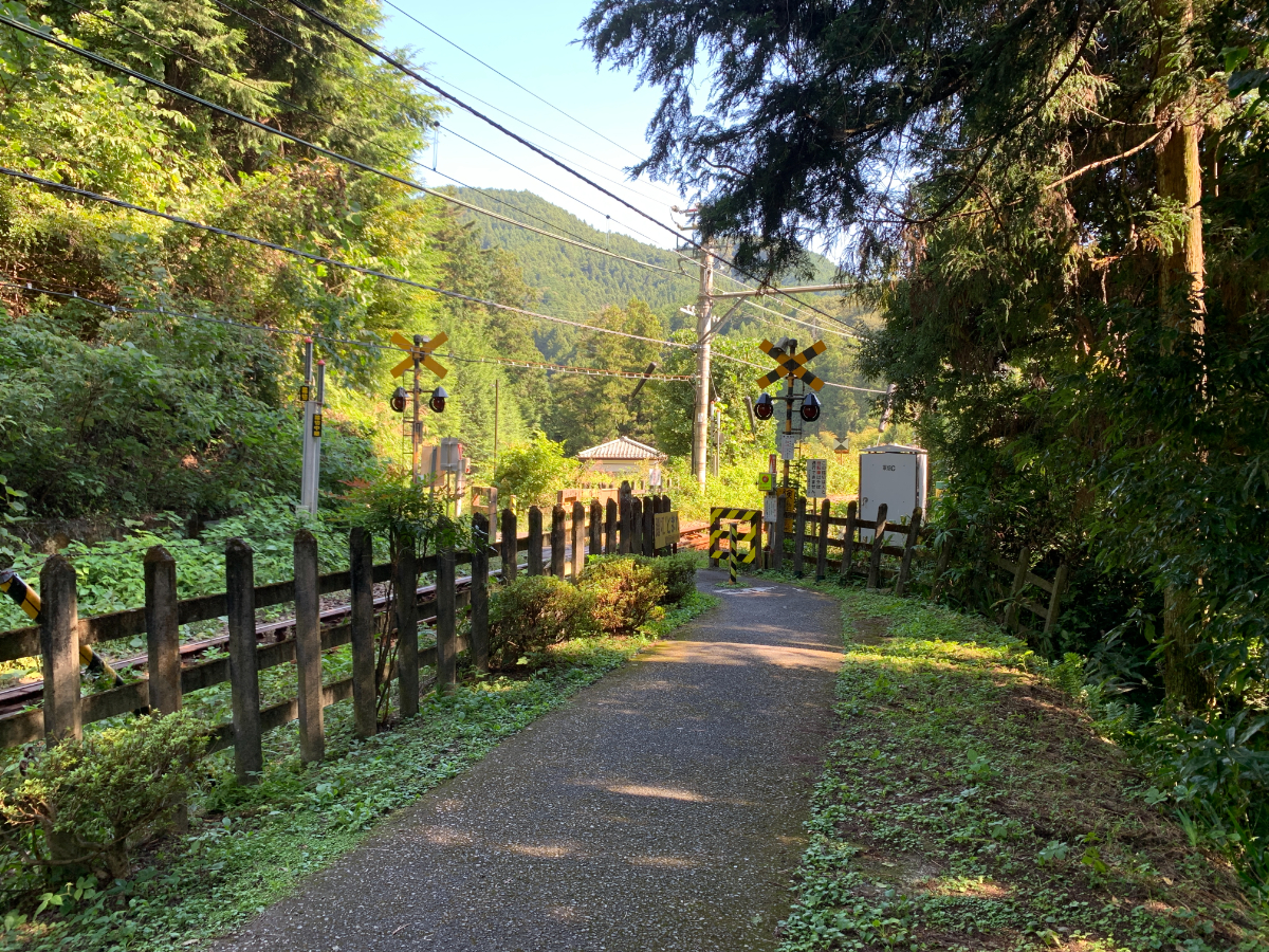
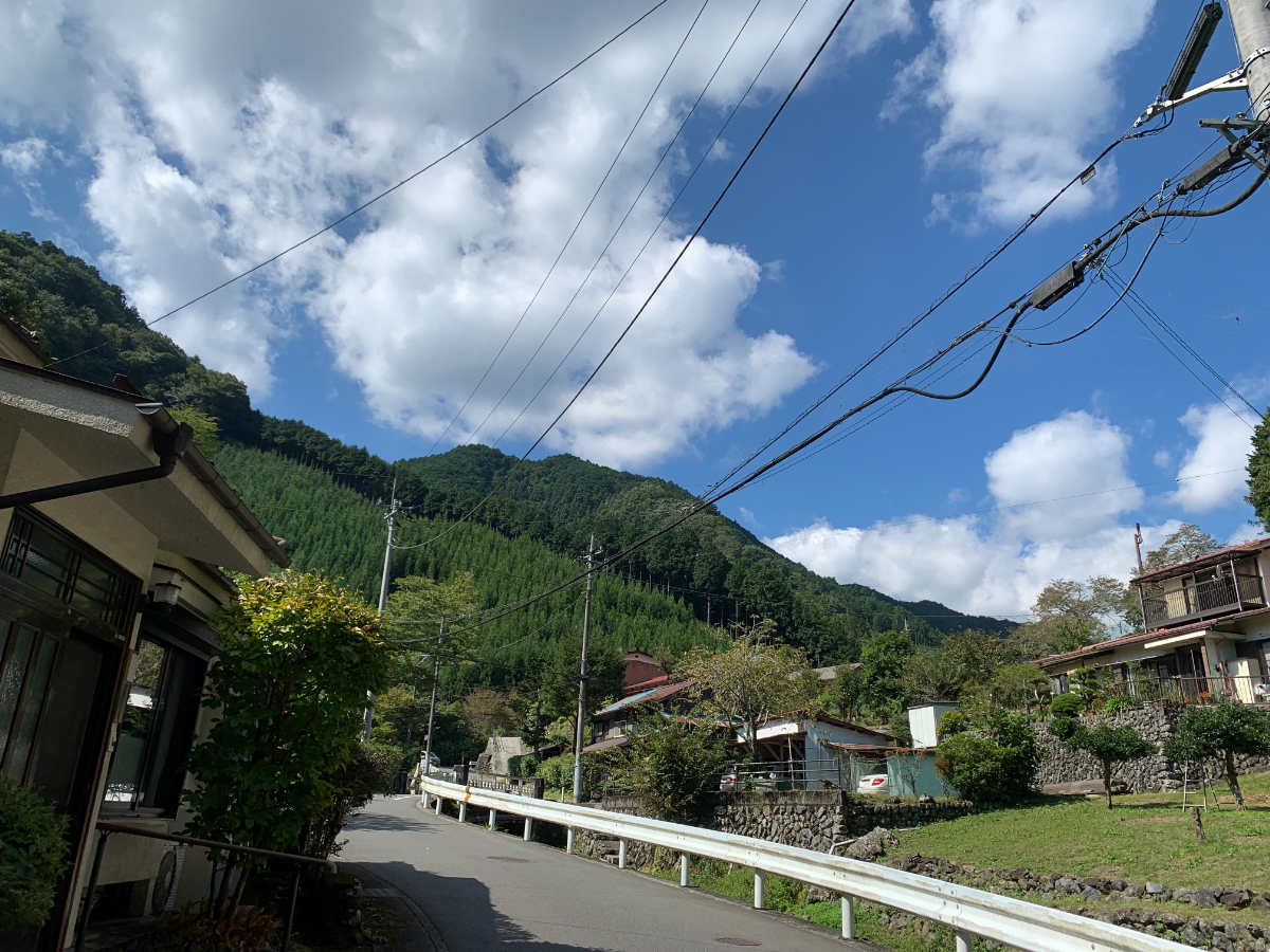
Exit the station and turn left in front of the shops, then cross the railroad crossing.
Follow the right side of the fork and continue on the road.
There isn’t a clear sidewalk, so be cautious of passing vehicles.
After a while, you’ll see a small bridge, and just before it, there’s a road turning left.
Turn left here.
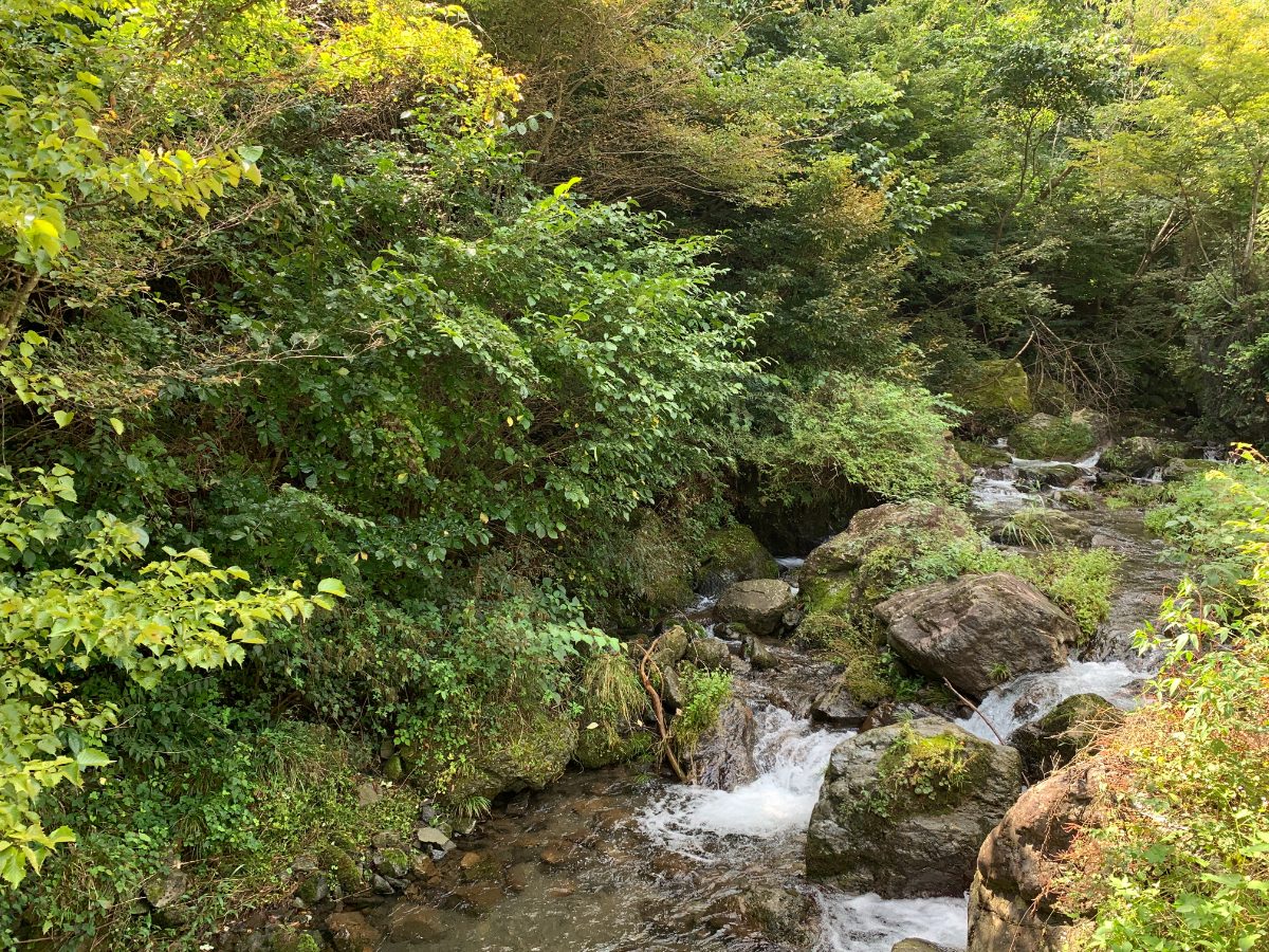
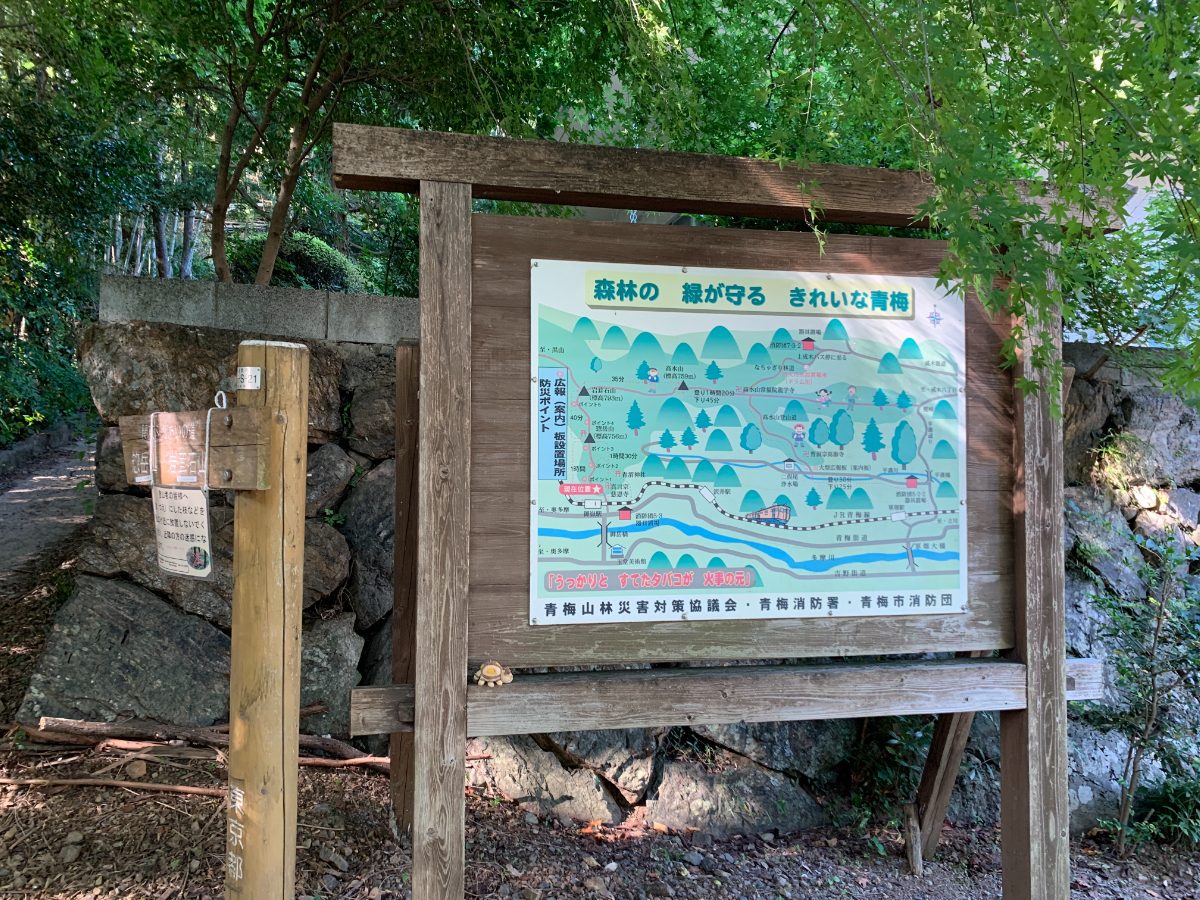
As you walk along the stream, you’ll see a sign.
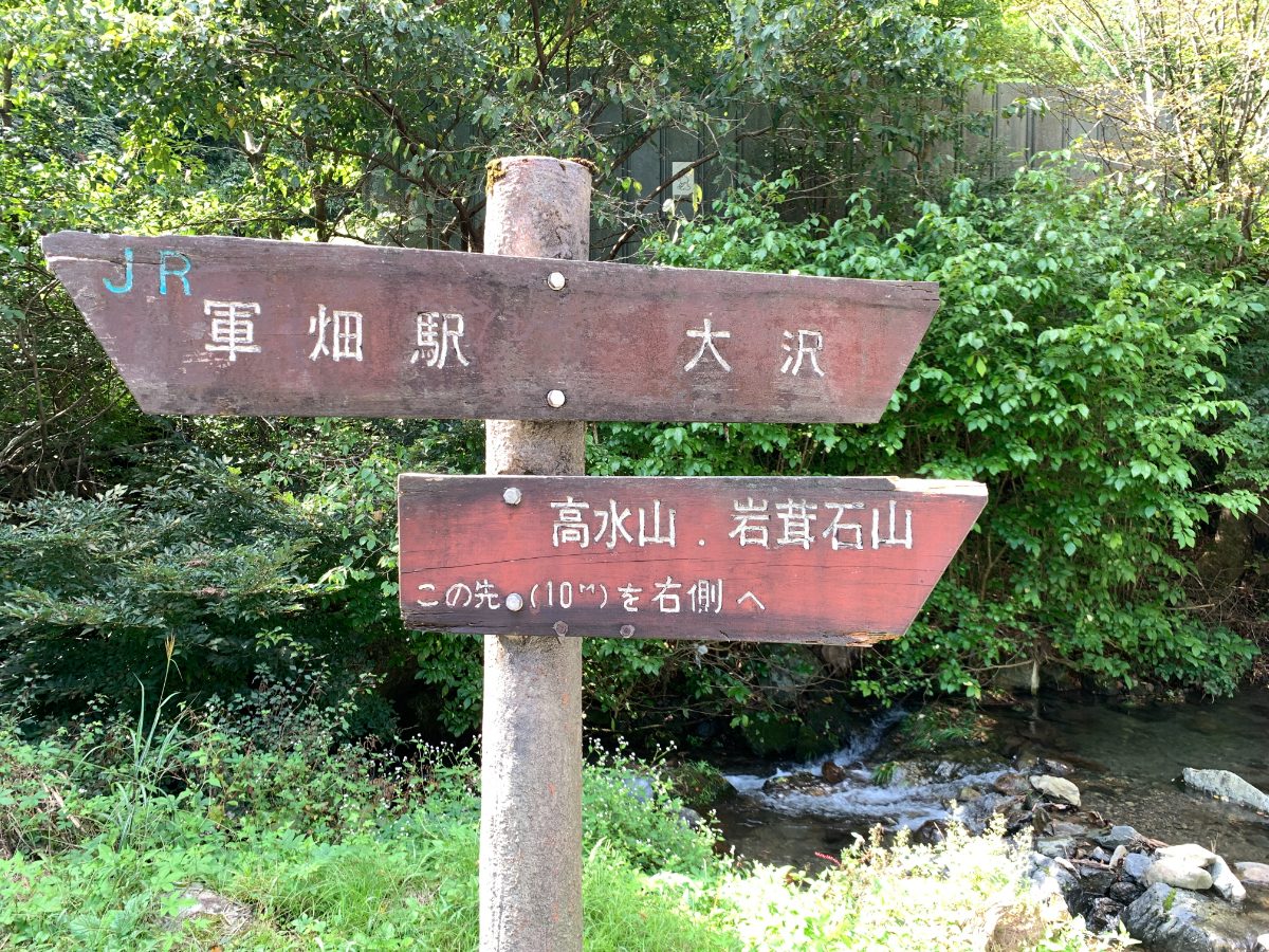
Across from the sign, there’s a road that goes uphill on the right.
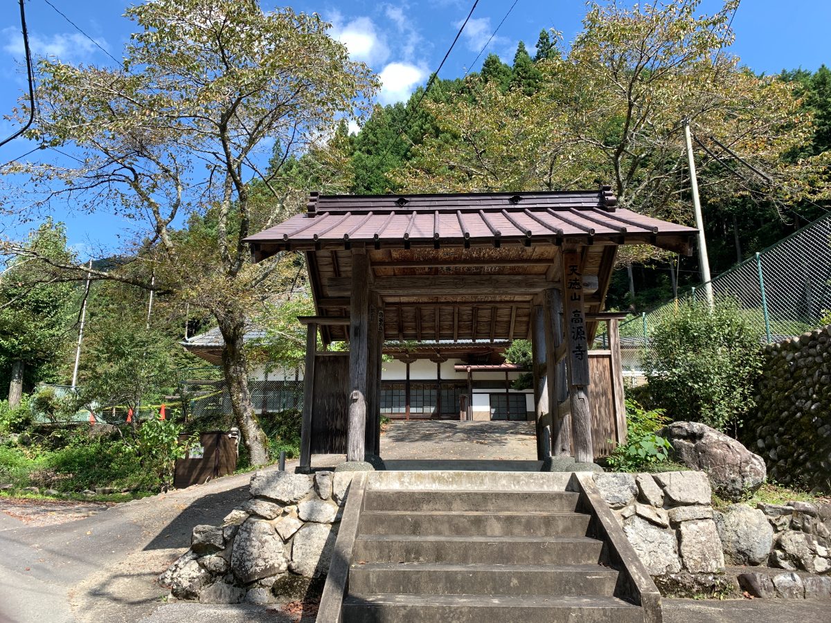
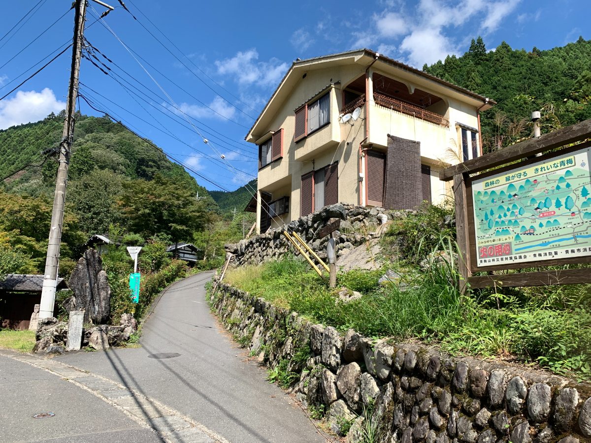
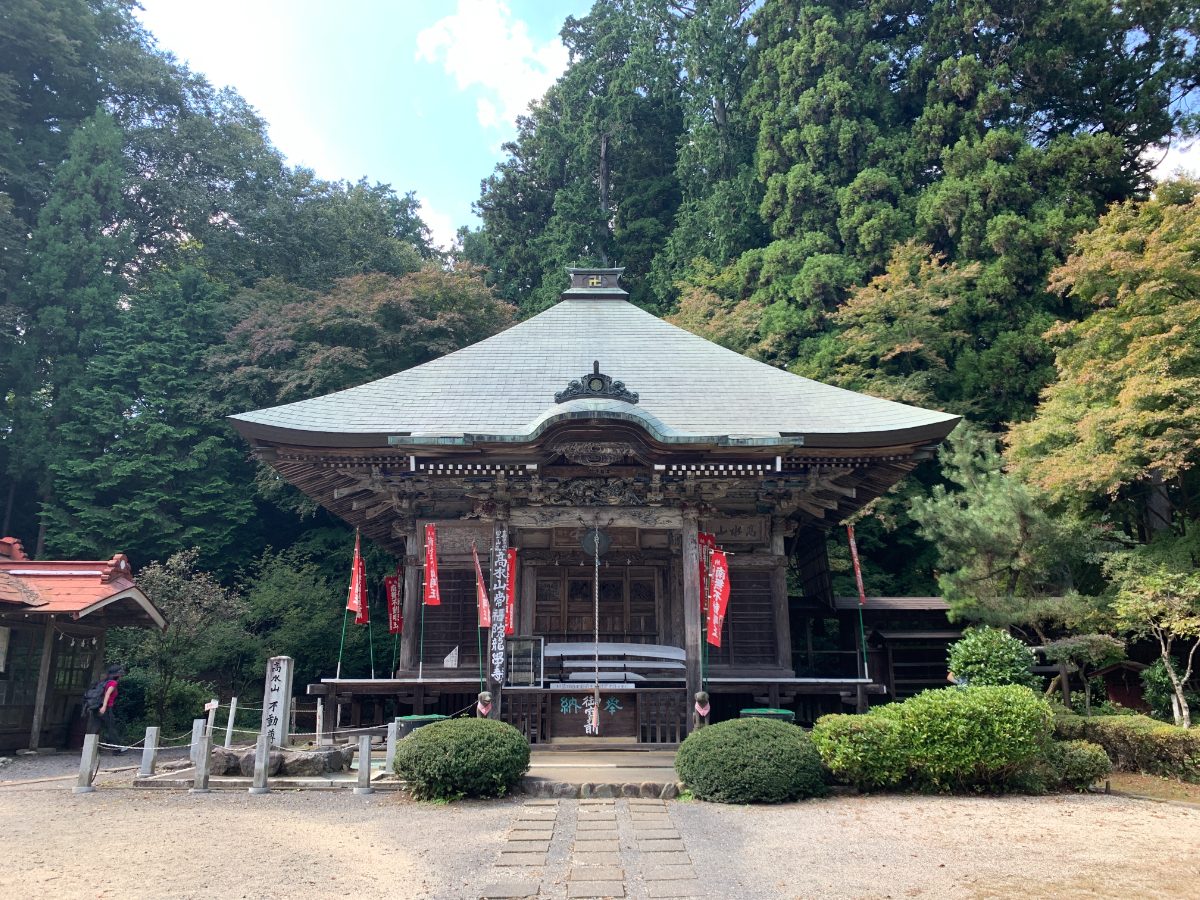
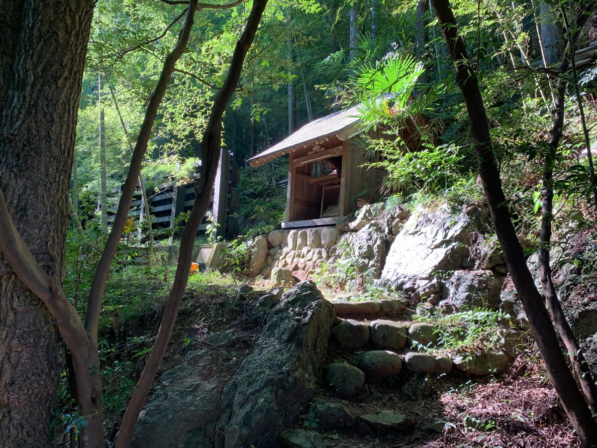
Follow this road to Kogen-ji Temple.
According to the “Ome City History,” Kogen-ji Temple was established before the Genroku era. (1688-1704).
The temple is also known for having a monument to Matsuo Basho’s haiku.
Next to the temple, there’s a shrine called Amano-sha and a hall called Myoken-do, which are known for their lion dance, a designated intangible folk cultural property of the city.
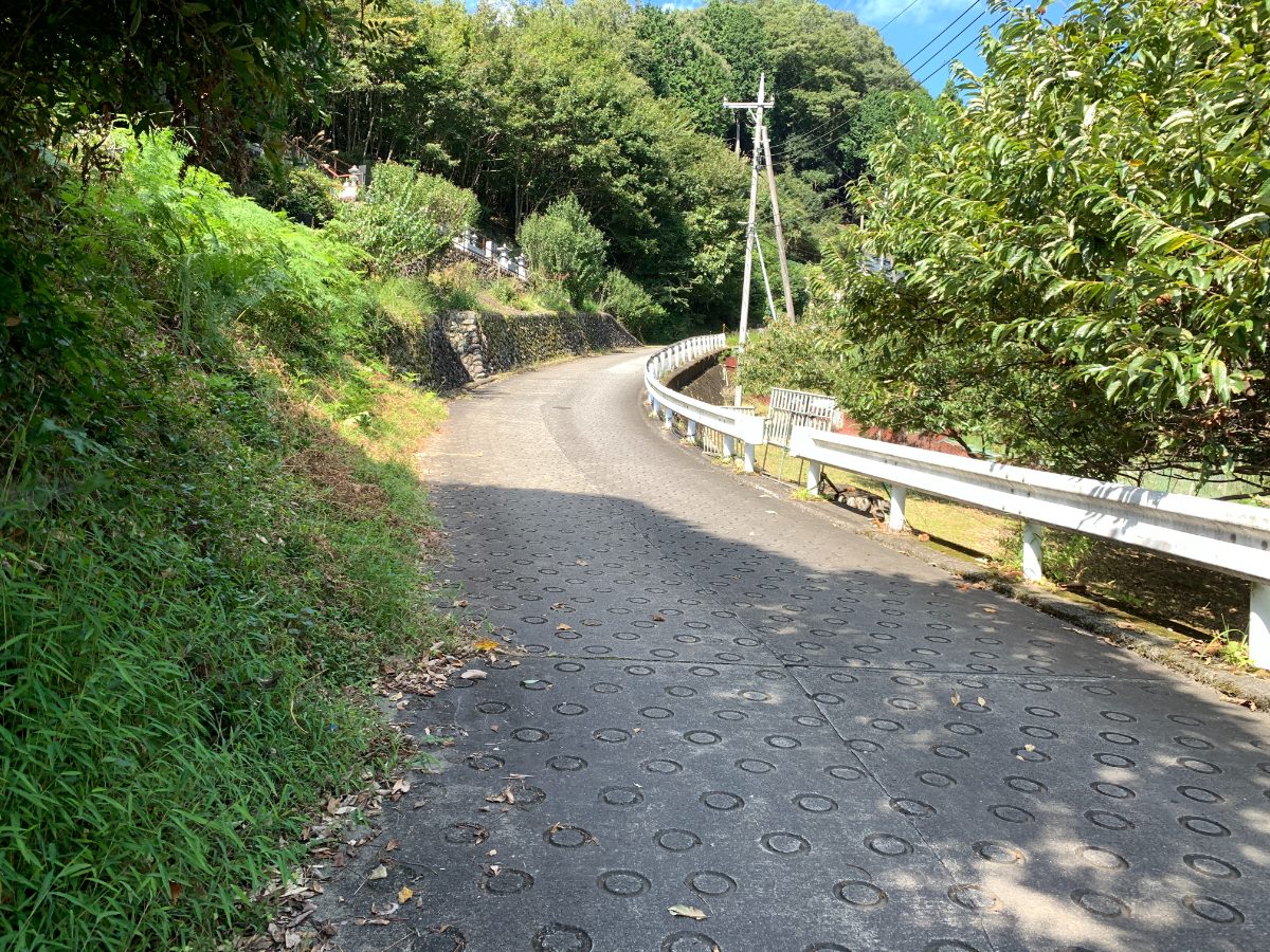
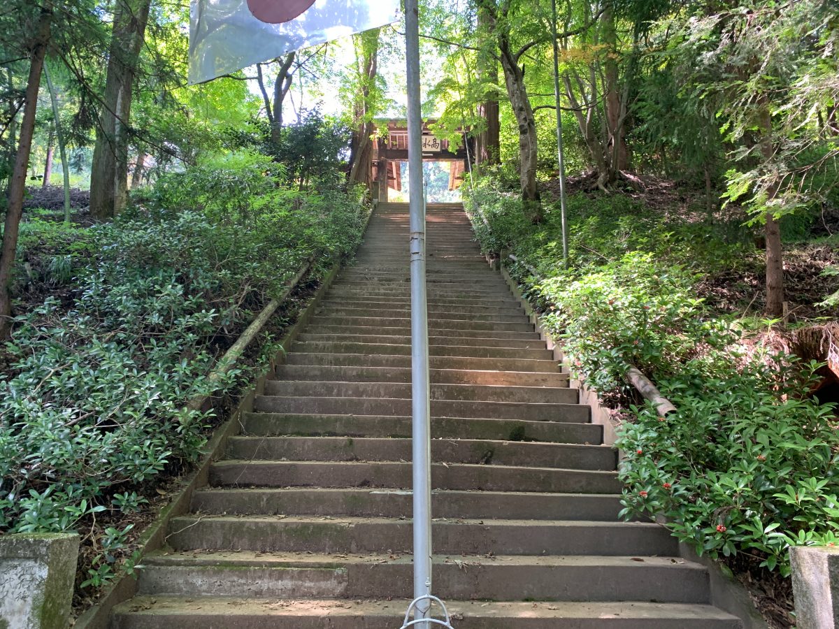
The paved road continues uphill.
At the top, there’s a fishing pond,
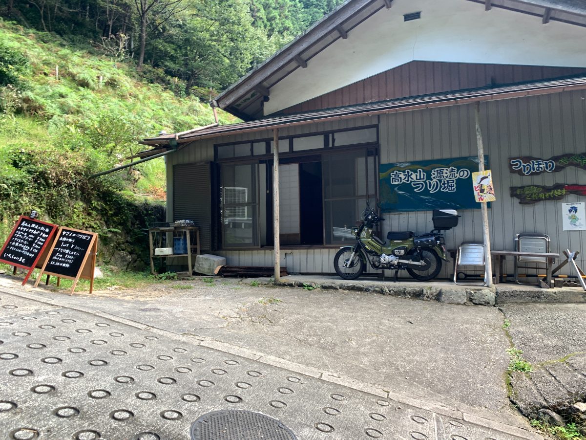
which marks the entrance to the hiking trail.
■Mt. Takamizu
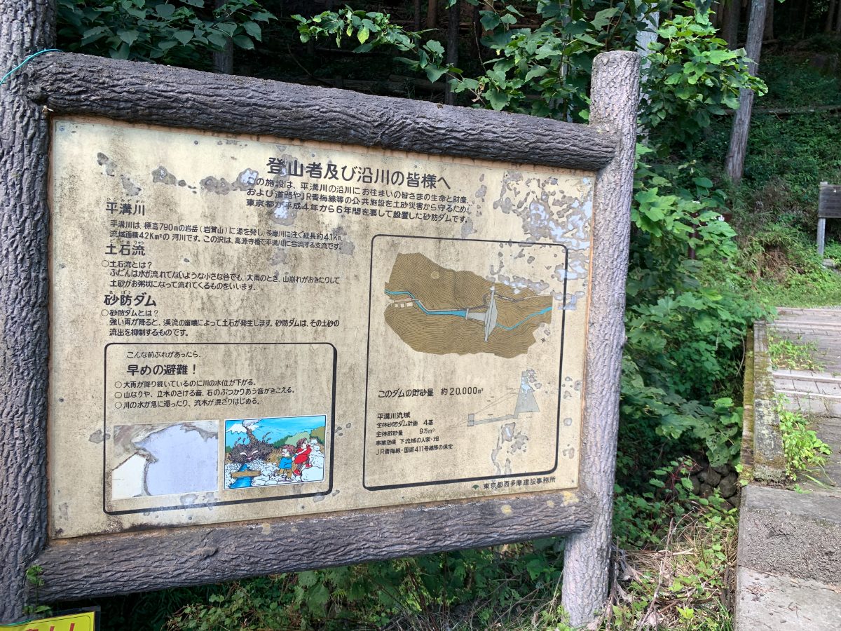
Immediately after starting the hike, you’ll encounter a sediment control dam.
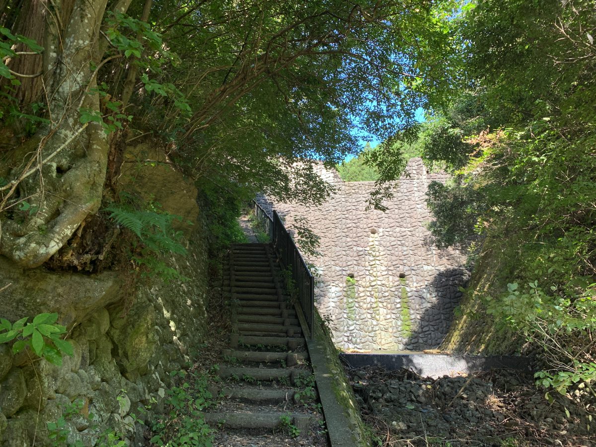
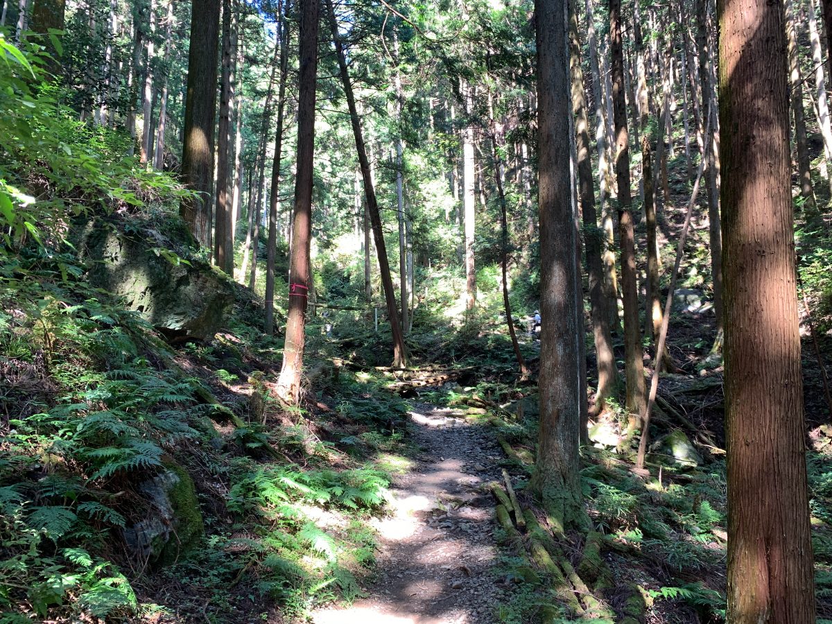
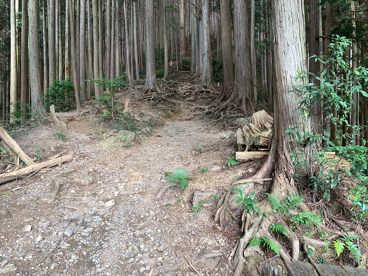
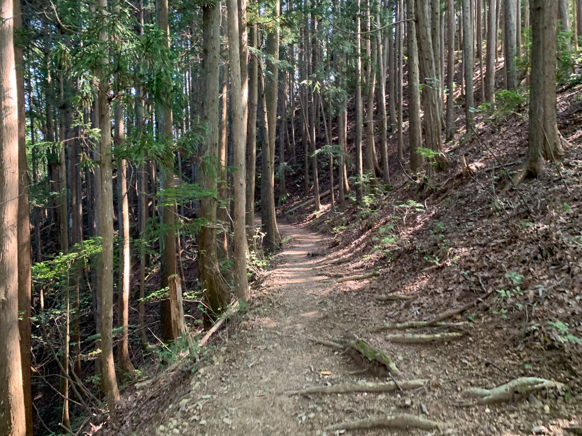
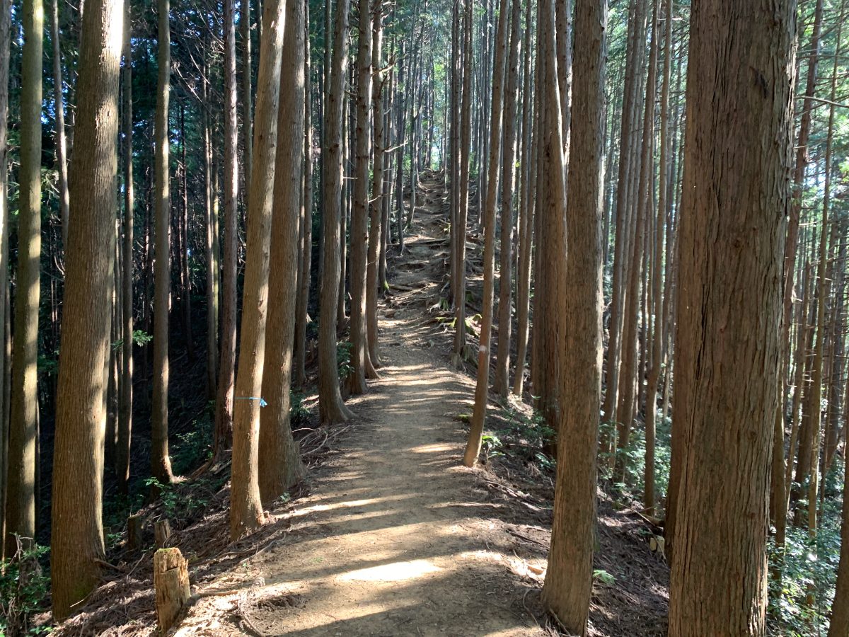
After climbing the stairs, you’ll enter a cedar forest typical of the Okutama region.
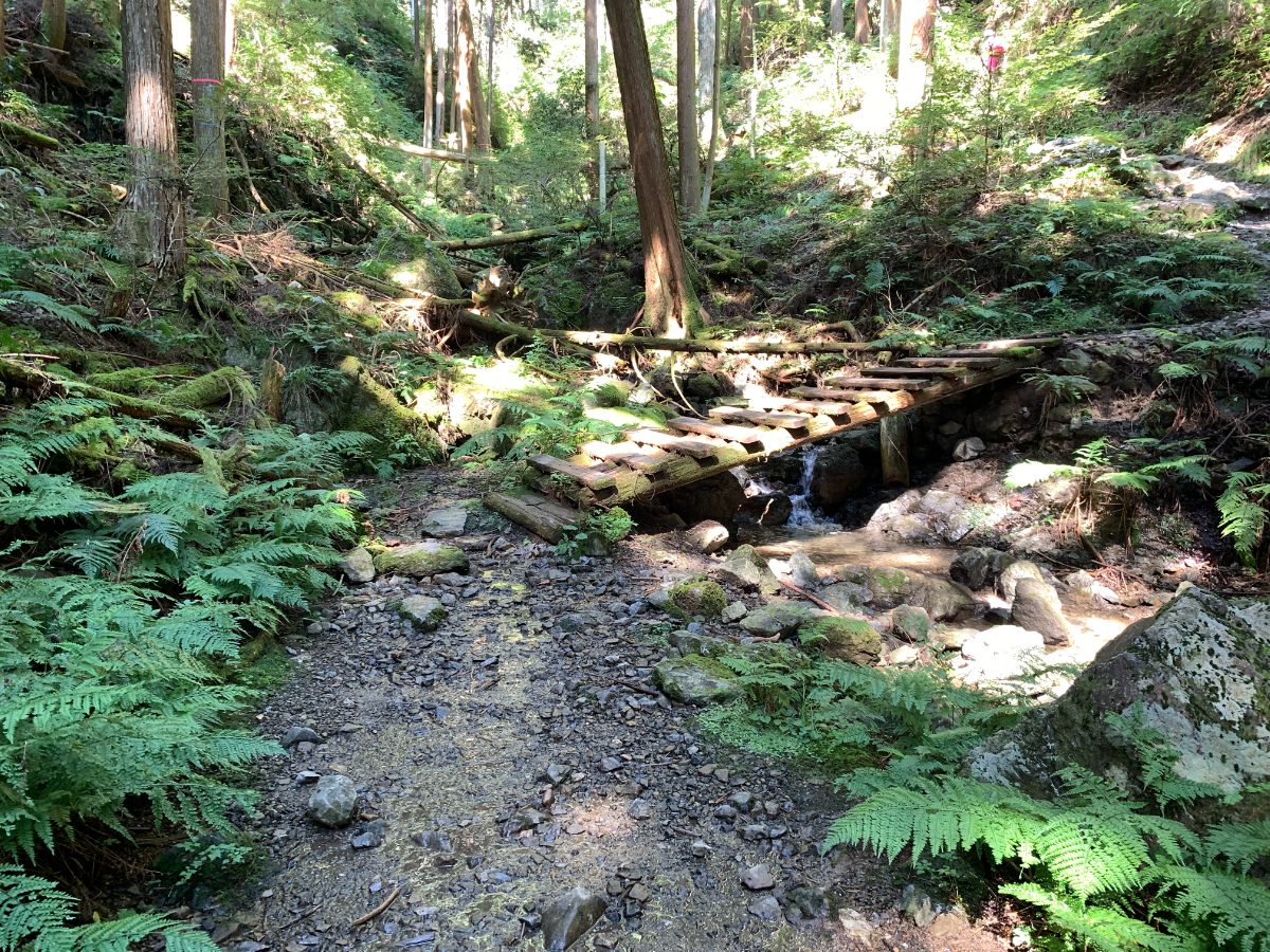
There’s a small stream, but the water flow is minimal.
From here, you’ll encounter a steep climb for a while.
It’s a bit challenging, but once you clear this section, the rest of the route is relatively easy.
After taking a short break at the top,
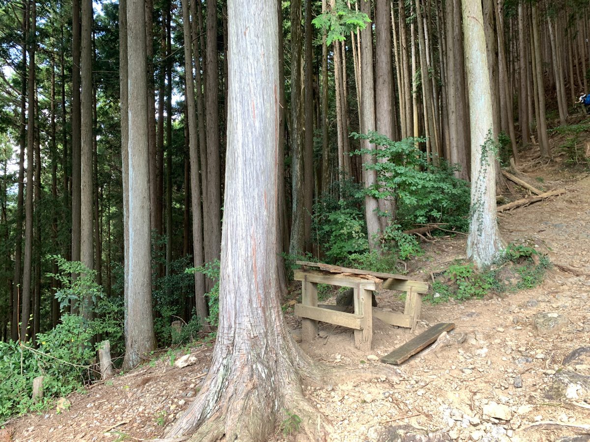
continue climbing.
The trail is well-marked and easy to follow, with some narrow sections but overall easy to walk.
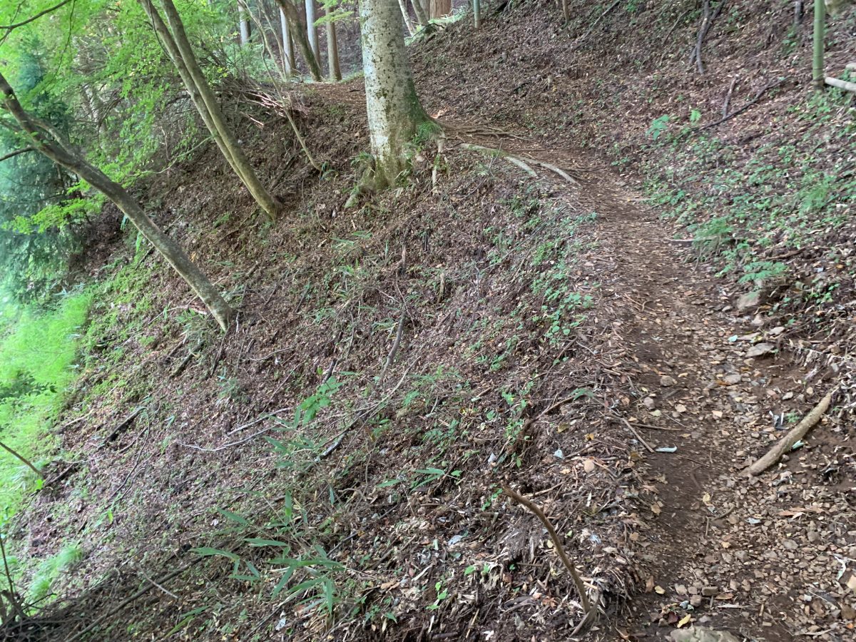
The path is very easy to walk on, although it is somewhat narrow at times.
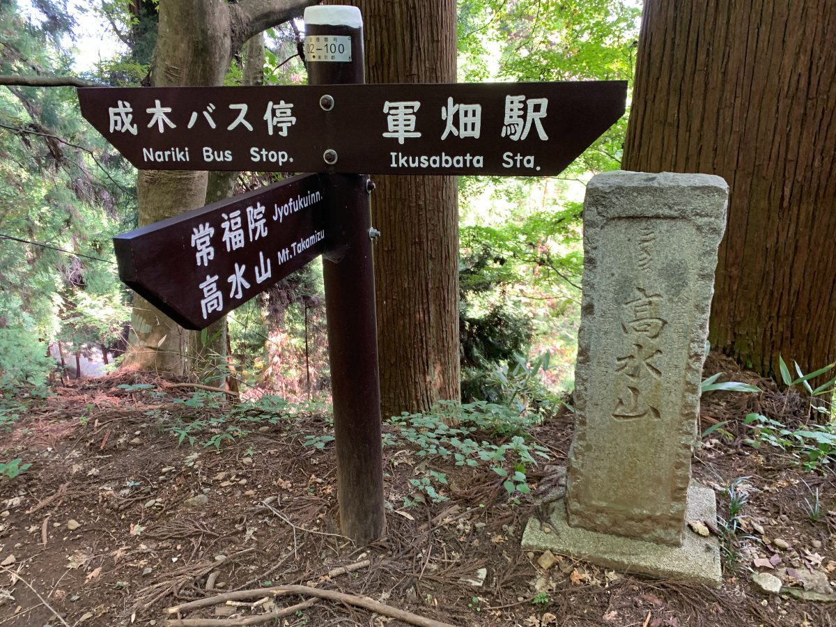
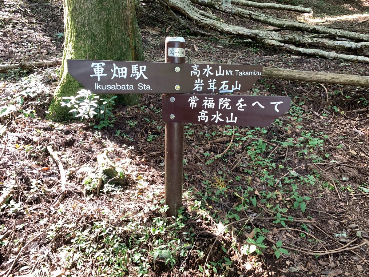
At the fork, take the uphill path towards Jofuku-in Temple.
Go around the left side and exit at the back,
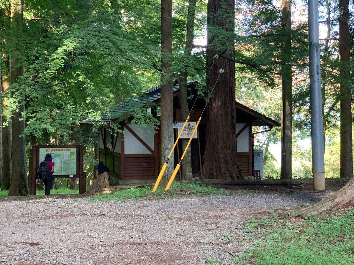
where you’ll find the only toilet on the route.
Opposite the toilet (on the left), climb up to find a rest area with a shelter.
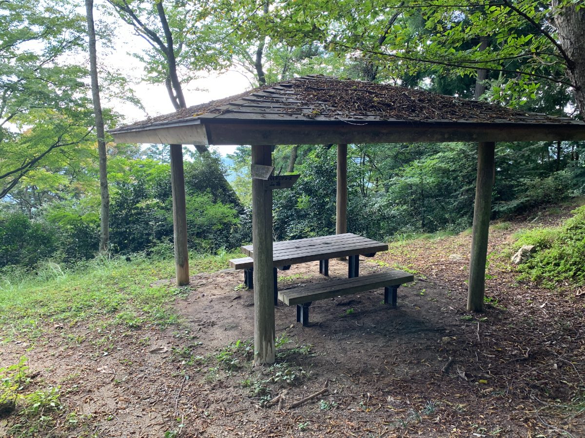
The summit of Mt. Takamizu is just around the corner,
and Mt. Iwatake-ishiyama is also nearby, so it’s a good idea to take a break at either of those locations.
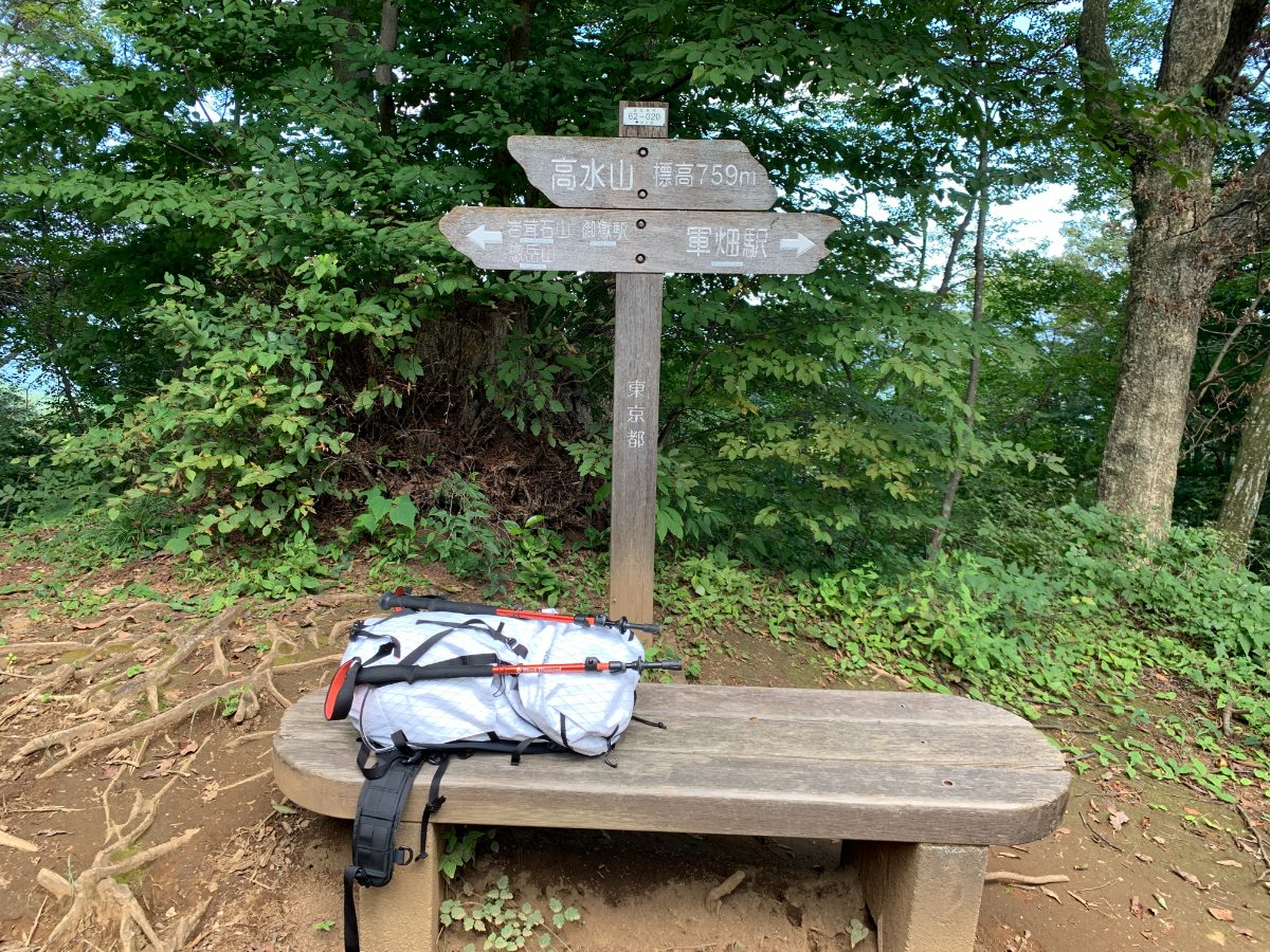
You’ve reached the summit of Mt. Takamizu (759m),
but there are no views from here.
Mt. Iwatake-ishiyama
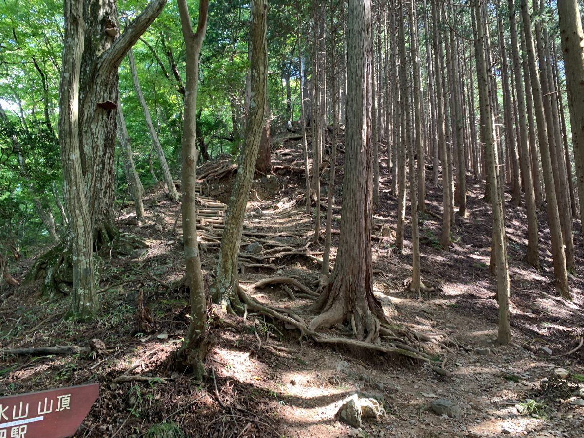
Descend from Mt. Takamizu and head towards Mt. Iwatake-ishiyama.
Be careful not to trip on tree roots as you carefully descend.
Looking back, you’ll see this view.
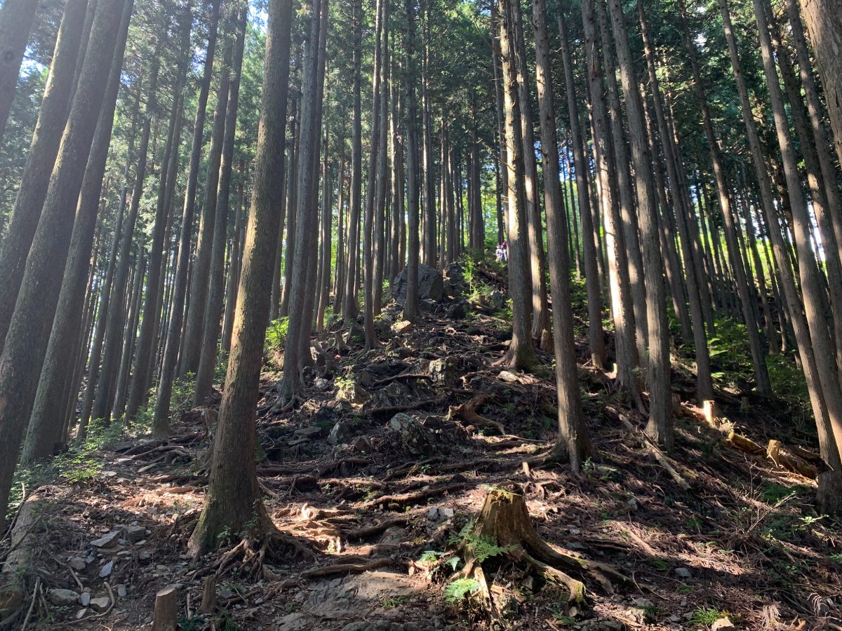
From here, the trail is a quiet walk through the forest with no particularly steep sections.
There are no difficult spots, and you’ll reach the summit in a short time – about 15 to 20 minutes.
The section just before the summit of Mt. Iwatake-ishiyama is a bit steep, but it’s a short distance.
Once you climb this section, you’ll soon reach the summit of Mt. Iwatake-ishiyama (793m).
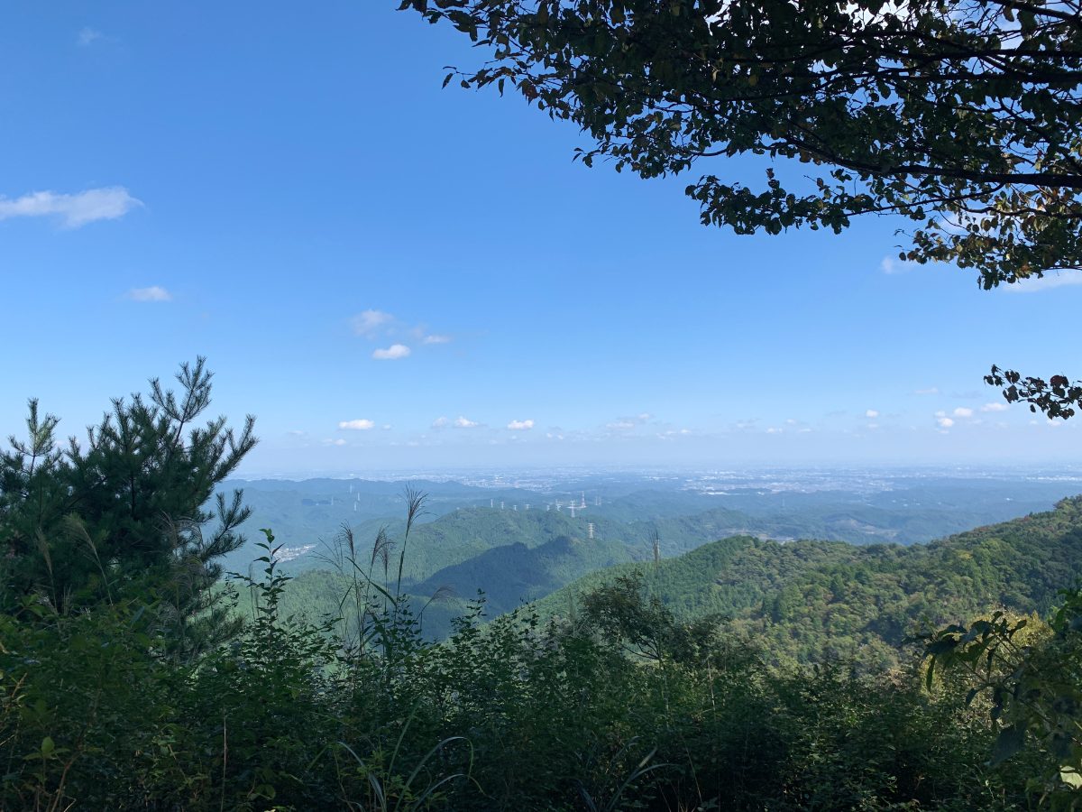
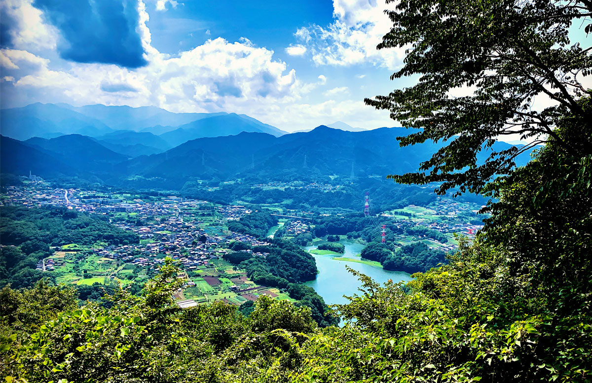
You can see the city of Saitama (Ageo City) in the distance.
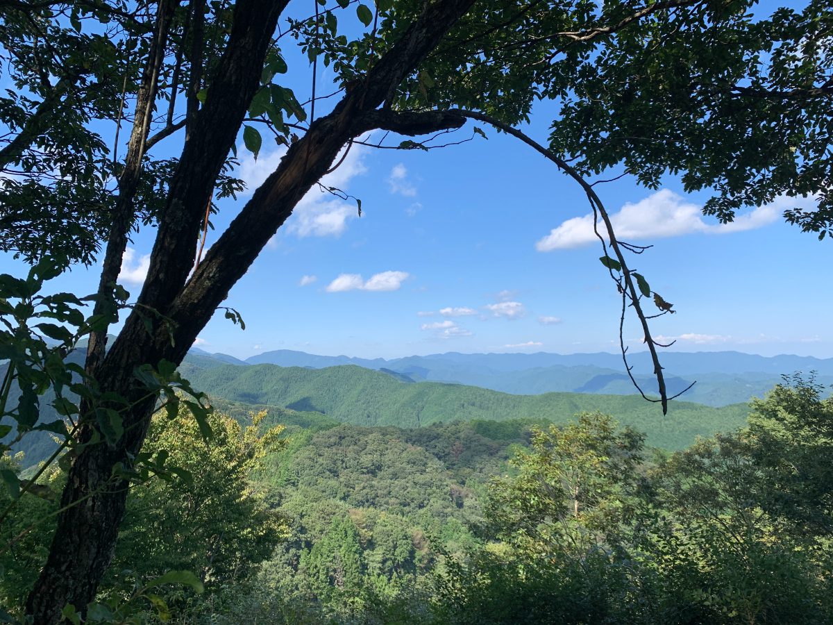
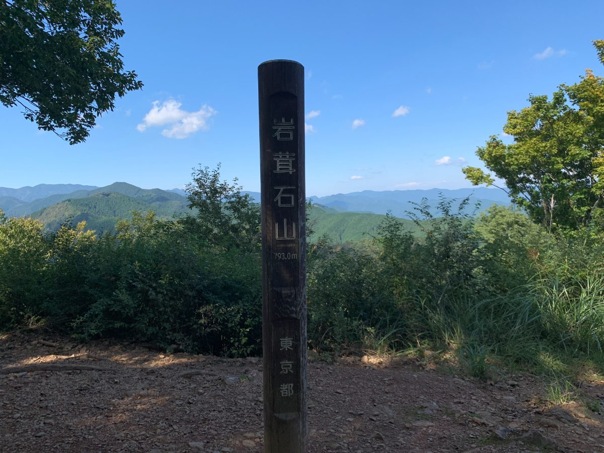
To the left of the summit marker, you can see Mt. Bonoore.
Mt. Sogaku
Head towards Mt. Sogaku and descend significantly.
There are ropes on the left side of this descent to help you.
Although it’s steep, you can descend safely by paying attention to your footing.
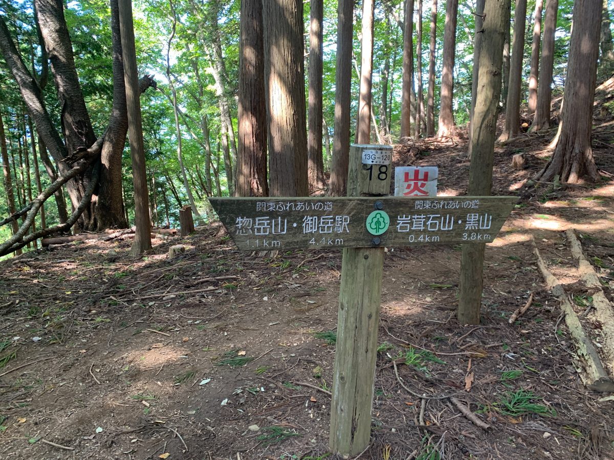
There are trail signs along the way, so you won’t get lost.
The trail is wide, flat, and easy to walk.
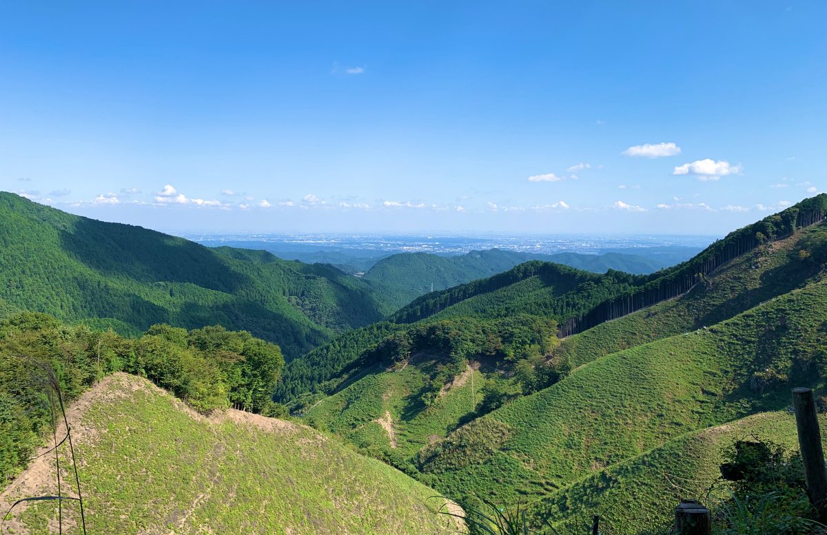
Just before Mt. Sogaku, there’s an open area with a good view.
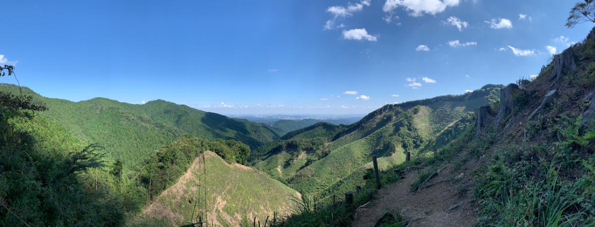
This is the best viewpoint besides the summit of Mt. Iwatake-ishiyama.
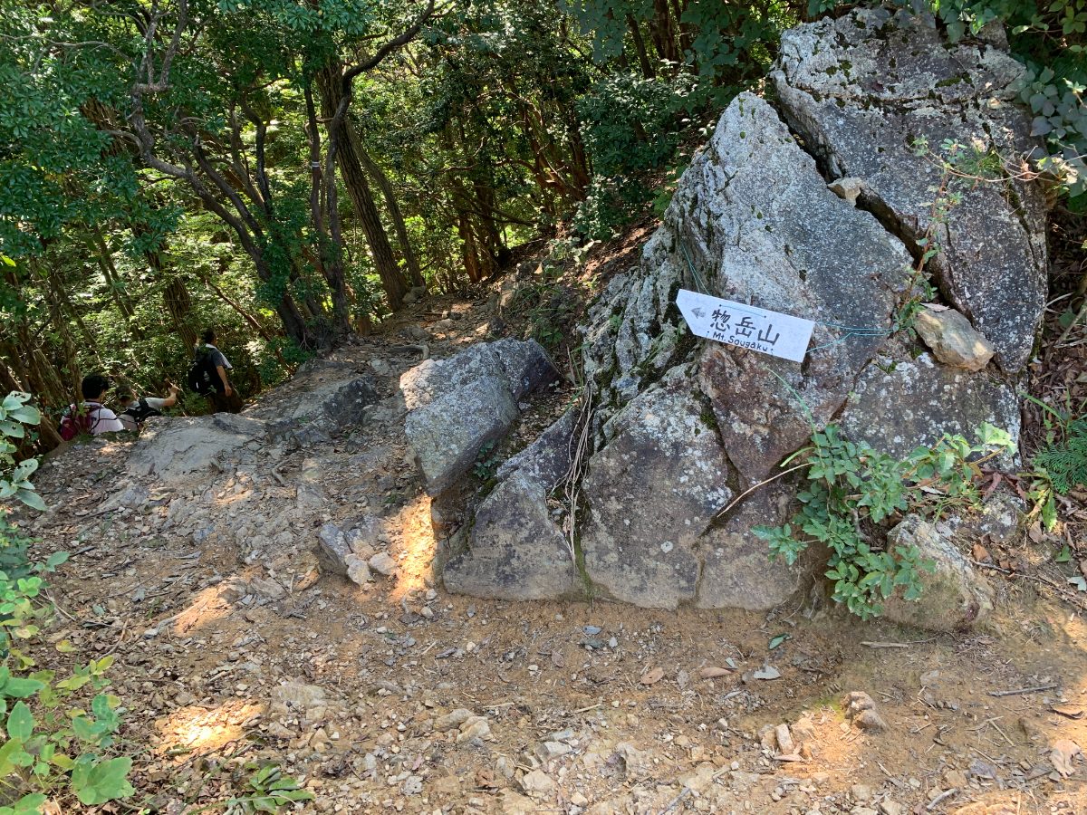
Pass this spot and you’ll soon come to a fork.
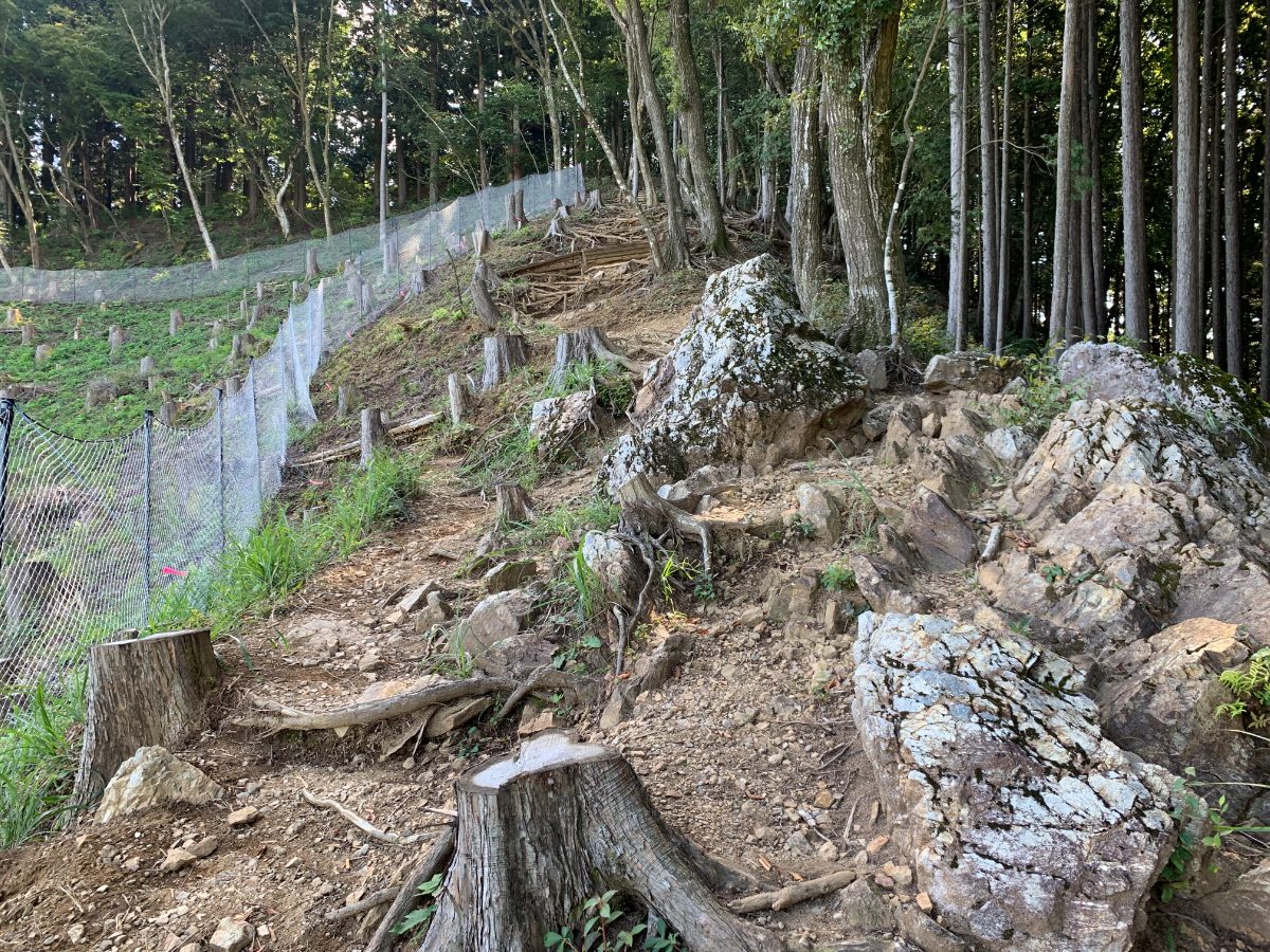
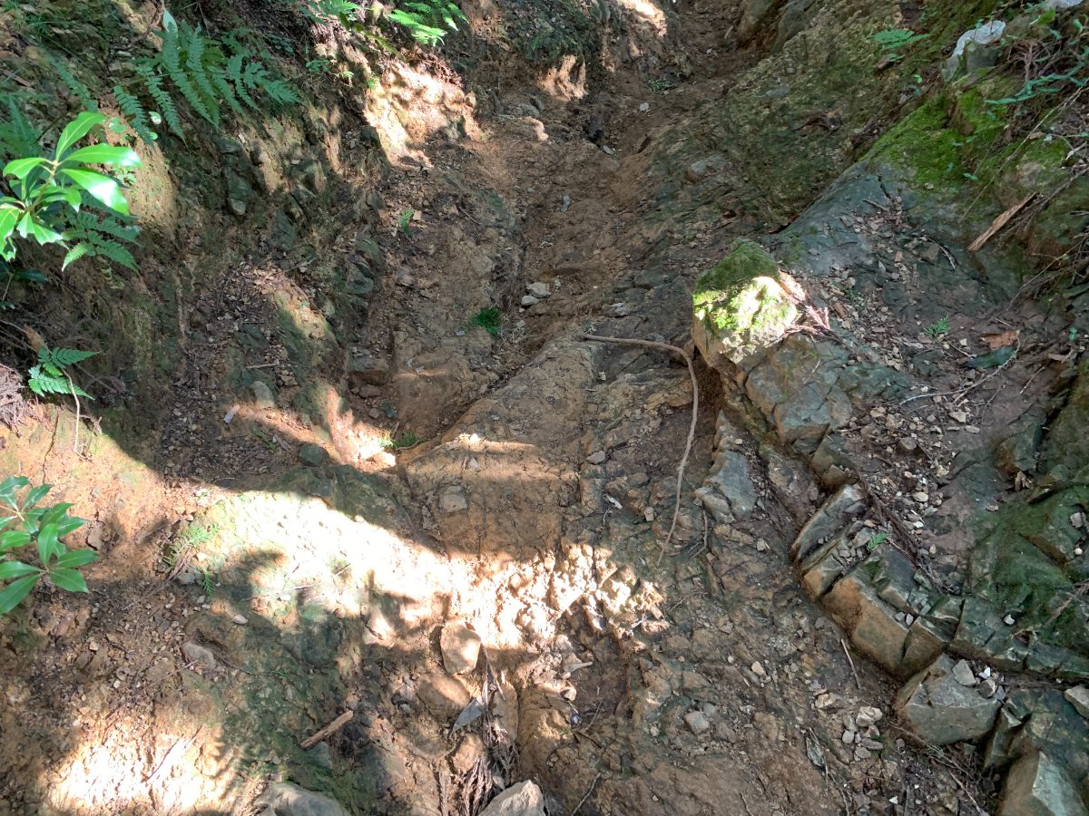
Take the rocky path that goes diagonally up to the right towards the summit of Mt. Sogaku.
It’s not a problem if you use your hands, but it’s a good idea to put away your trekking poles, as they can be cumbersome here.
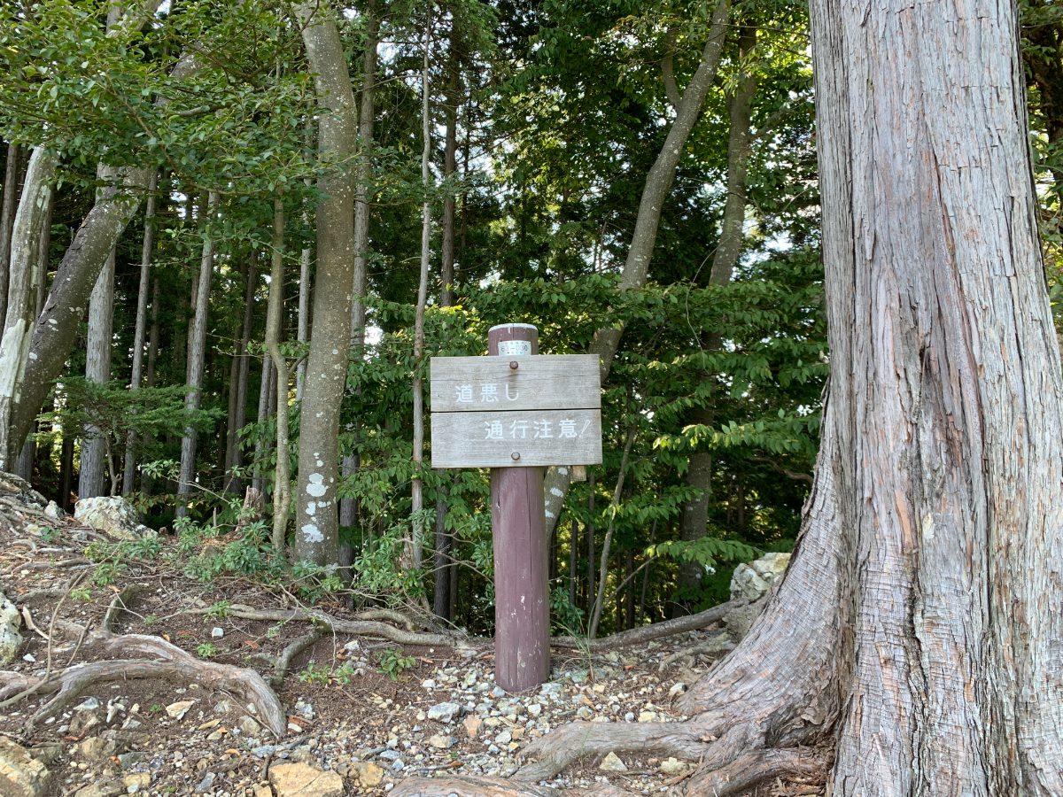
After you climb up the rocky terrain, you will see a warning sign like this.
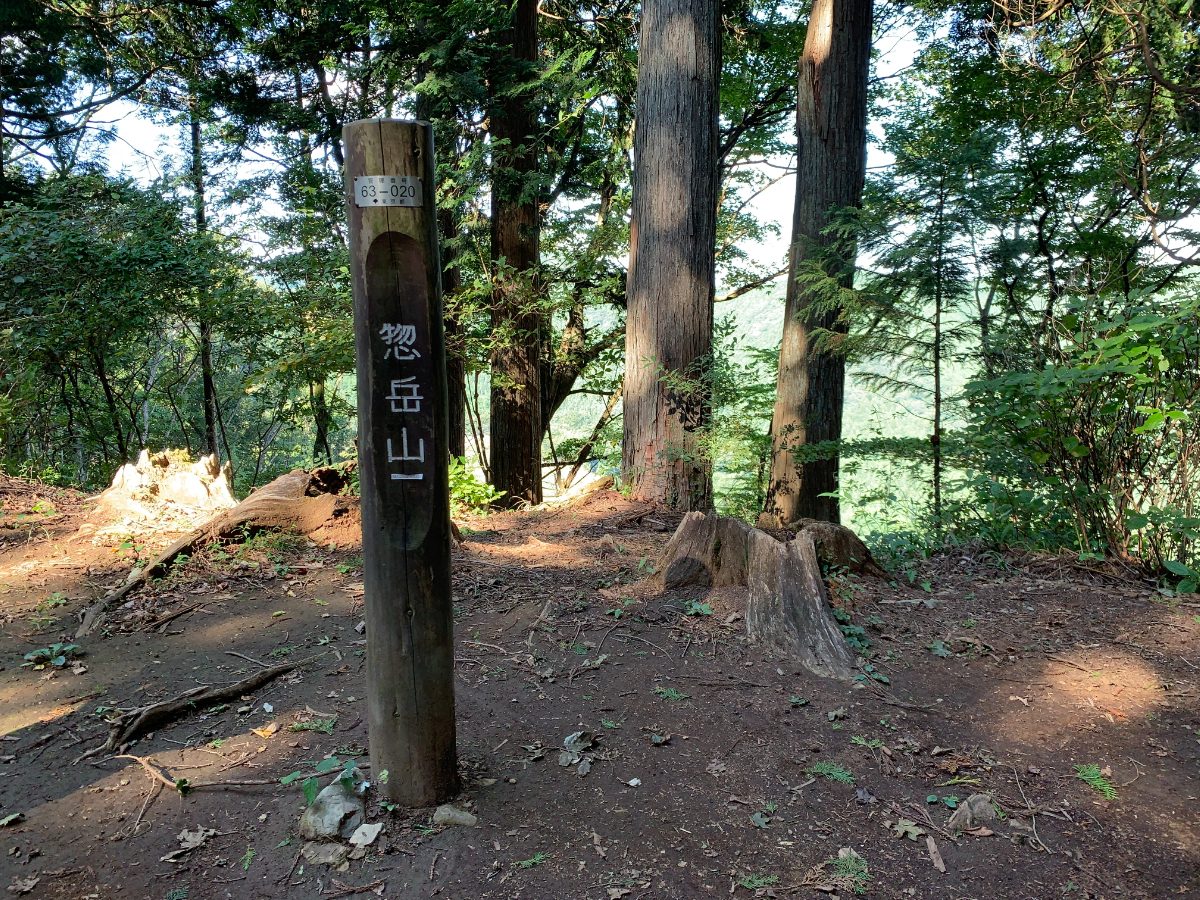
You’re almost at the summit of Mt. Sogaku (756m).
The summit of Mt. Sougaku (756m).
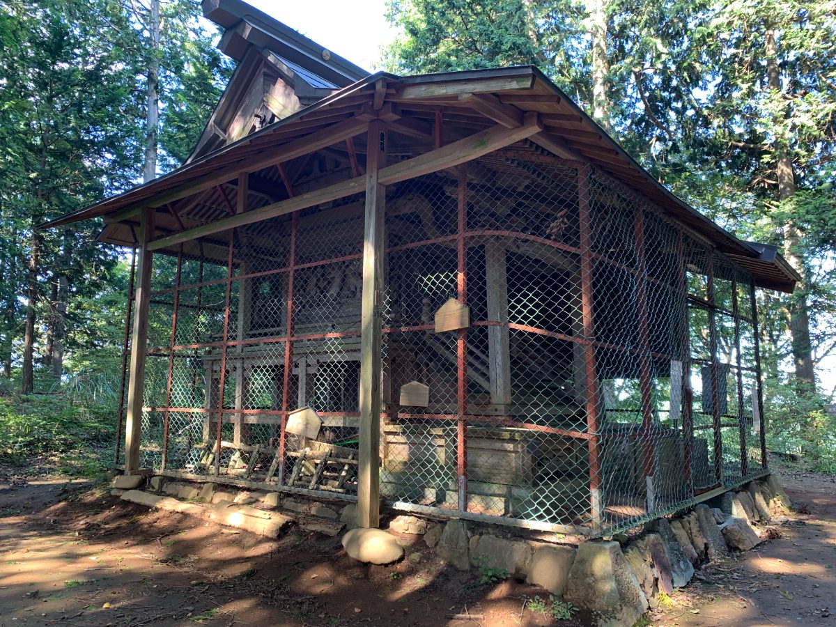
At the summit, you’ll find the Okumiya (inner shrine) of Aoi Shrine.
The shrine was founded during the reign of Emperor Sujin, and its main hall was rebuilt by Minamoto no Tsunemoto.
At the beginning of the Meiji era, a worship hall was built at the foot of the mountain, which is now the Satomiya (village shrine) located about 15 minutes from Mitake Station. Nowadays, ceremonies are held there.
From here, you’ll descend to Mitake Station, passing the sacred tree along the way.
The area up to the sacred tree is considered a sacred space.
To Mitake Station
It takes just under an hour to descend from the summit of Mt. Sogaku to Mitake Station.
However, as you’ll be walking through a continuous forest, it may feel longer.
There are signs warning of slippery spots,
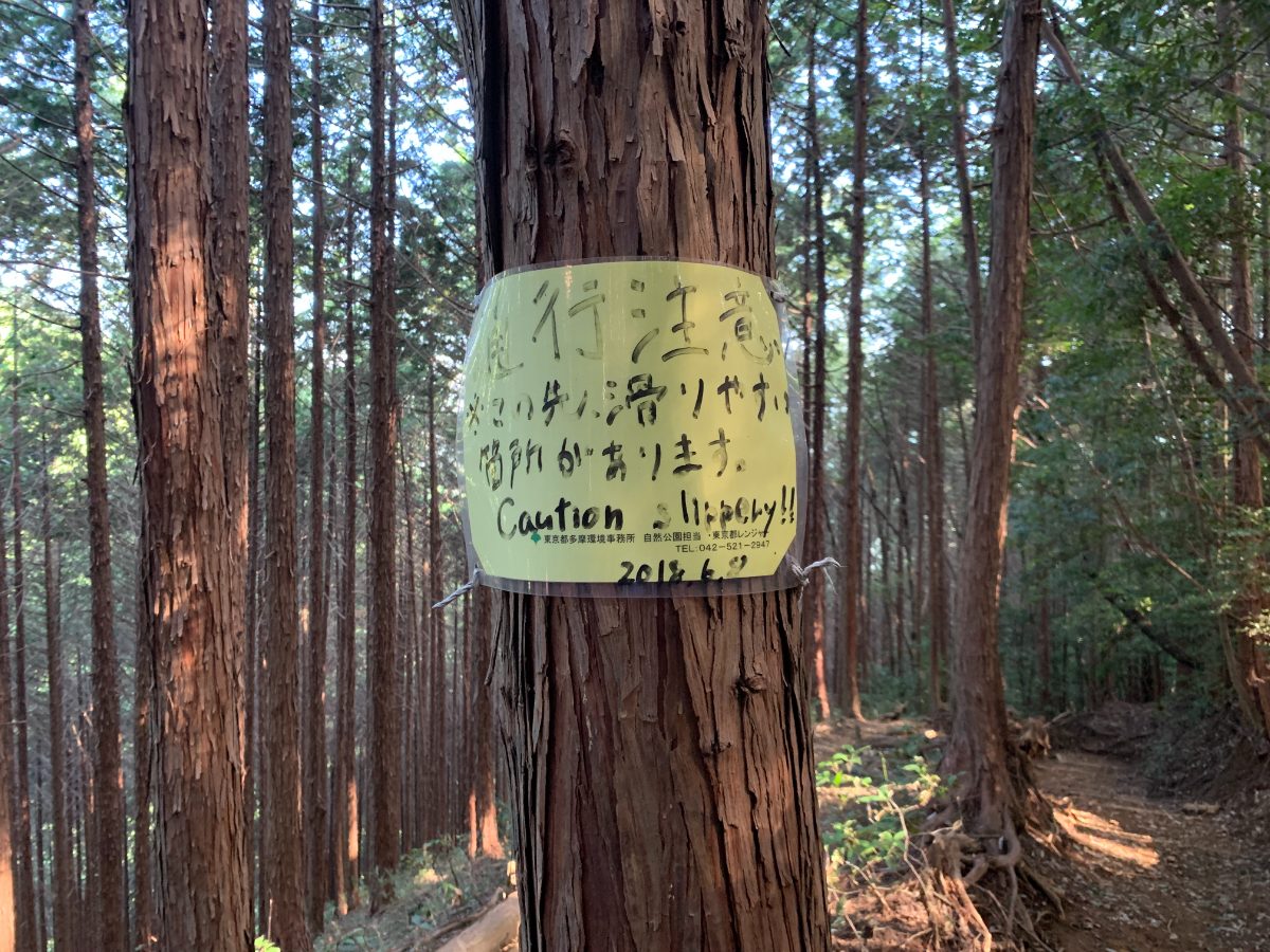
so be extra cautious when the ground is wet.
Towards the end of the trail, there’s a slight uphill section.
Once you pass this, you’ll go under a power line tower, descend further,
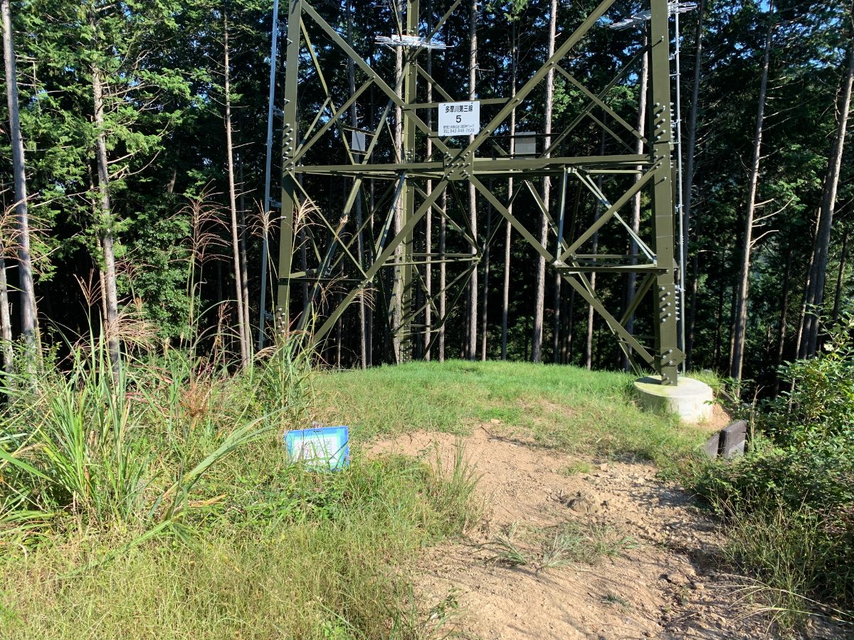
and reach the trailhead.
Mitake Station is just a stone’s throw away from the trailhead.