The Higashi-Takao ridges stretch along the eastern side of Mt. Takao, while the Minami-Takao ridges extend to the south.
A 16-kilometer-long route traverses these ridges, starting from Takaosan-guchi Station, and includes seven peaks, which are collectively known as the Minami-Takao Seven Summits.
Additionally, the path from Mt. Kobotoke-Shiroyama to Takaosan-guchi Station forms a heart shape, earning it the nickname “Takao Heart Route.”
Although the elevation of the route is relatively low, the frequent ups and downs combined with the long distance make it a fairly tiring hike.
Route
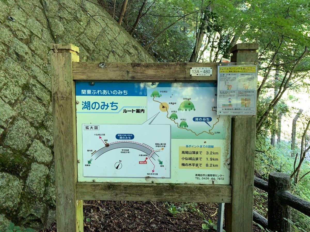
Takaosan-guchi Station → Kusato Pass → Mt. Kusato → Mt. Enokubo → Misawa Pass → Mt. Taikouji → Nishiyama Pass → Mt. Higasiyama → Mt. Irisawa → Mt. Nakazawa → Nakazawa Pass → Mt. Konpira → Mt. Ohbora → Otarimi Bus Stop → Mt. Kasuga → Mt. Raigan → Mt. Kobotoke-Shiroyama → Mt. Takao
Dangerous Spots
There are no particularly dangerous spots along the route, but be cautious around the area just before Otarimi Bus Stop, as the path narrows down.
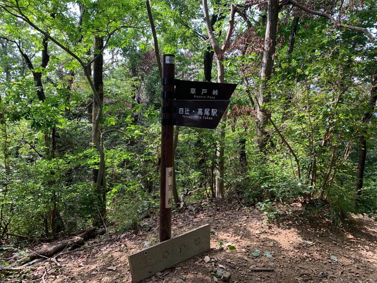
Mt.Kusato
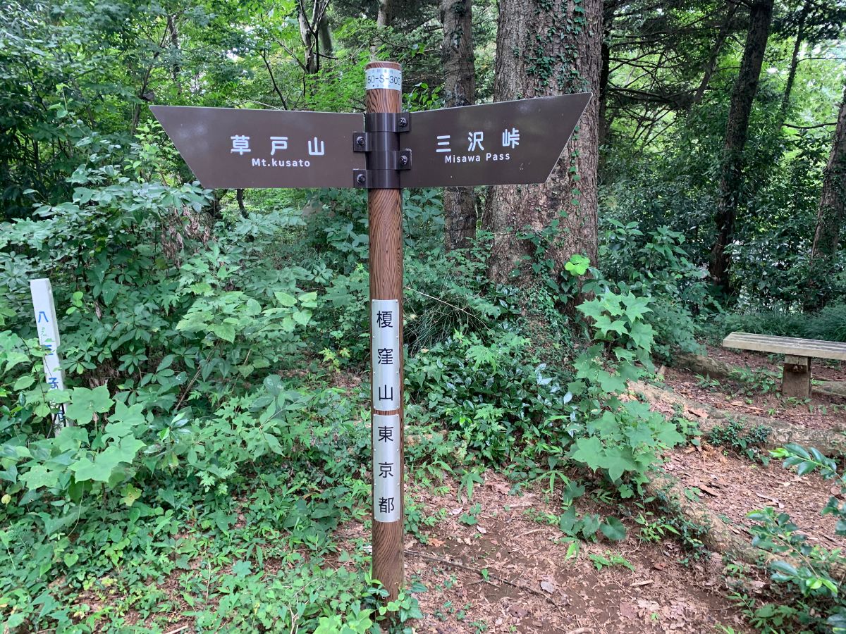
First, aim for the initial peak, Mt. Kusato.
Upon exiting the ticket gates at Takaosan-guchi Station, proceed straight ahead while many climbers turn to the right side (toward Mt. Takao). Cross the Nishi-Hikawa Bridge.
Immediately after crossing the bridge, you’ll find the main road, which is National Route 20. On the left, you can see the Trick Art Museum.
Turn right and proceed along the road, then make a left turn at the traffic light at the entrance to Mt. Takao. There is a small fork immediately after, but stay on the left side.
You will soon see a pink-colored house.
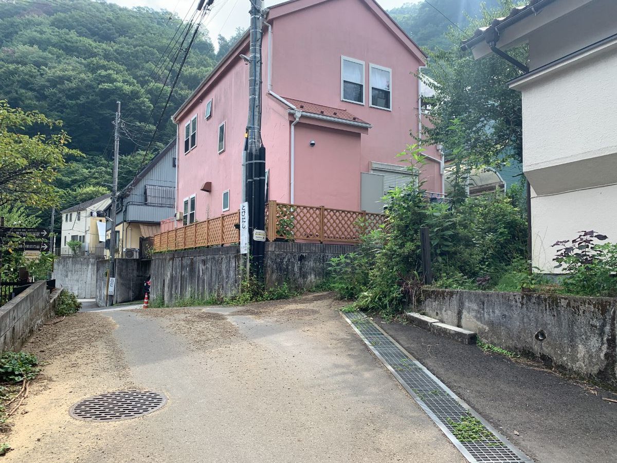
Turn right just before this house.
Although the path is narrow, continue along it to reach the entrance to the hiking trail.
you’ve entered the trail, proceed towards Kusato Pass.
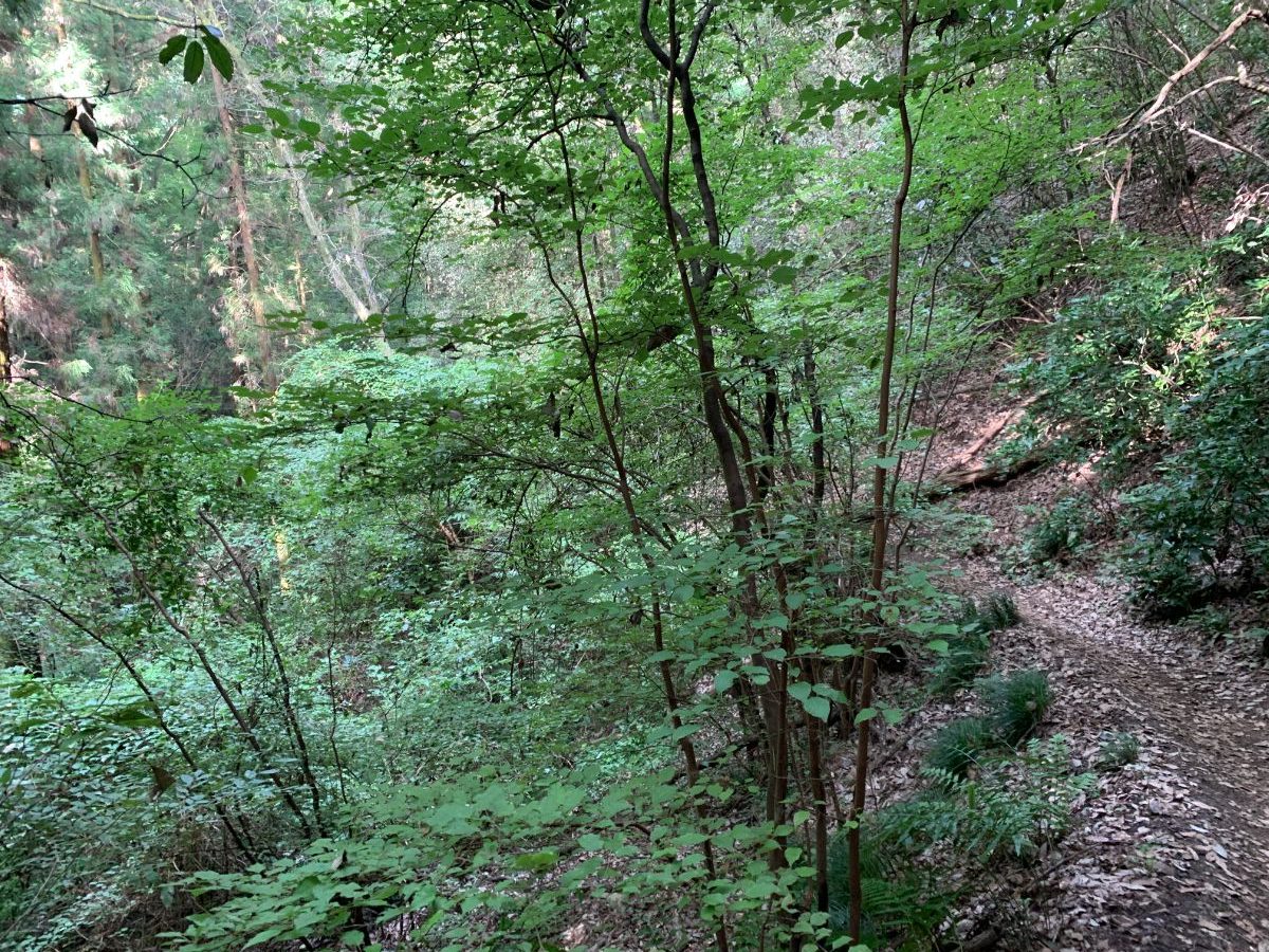
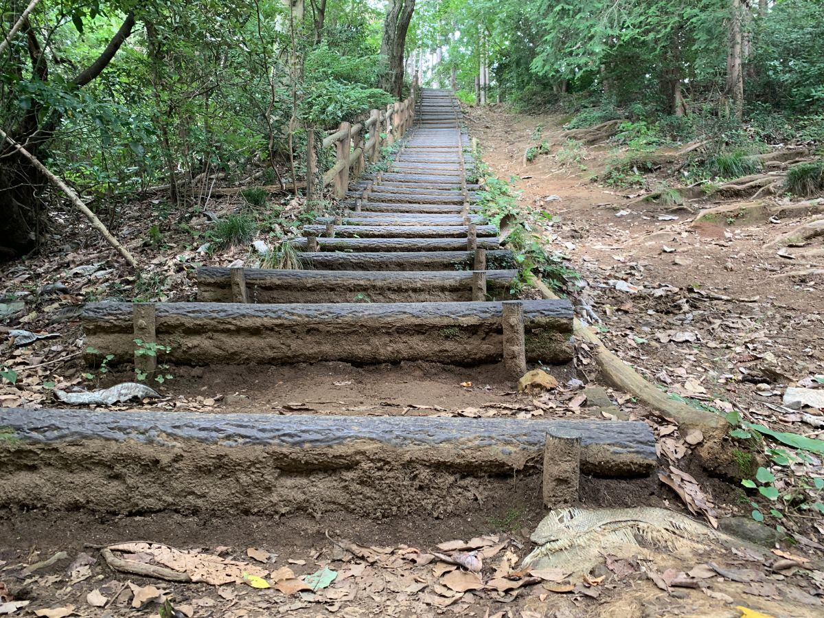
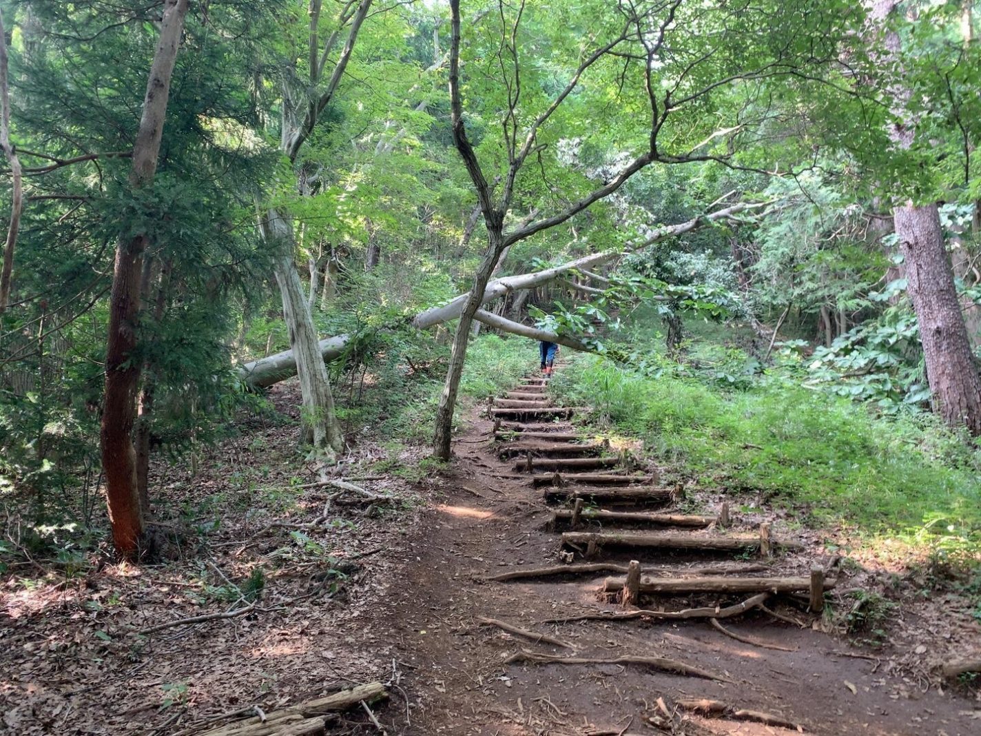
As is common with low mountains in Japan, you’ll encounter a moderately steep climb right from the start.
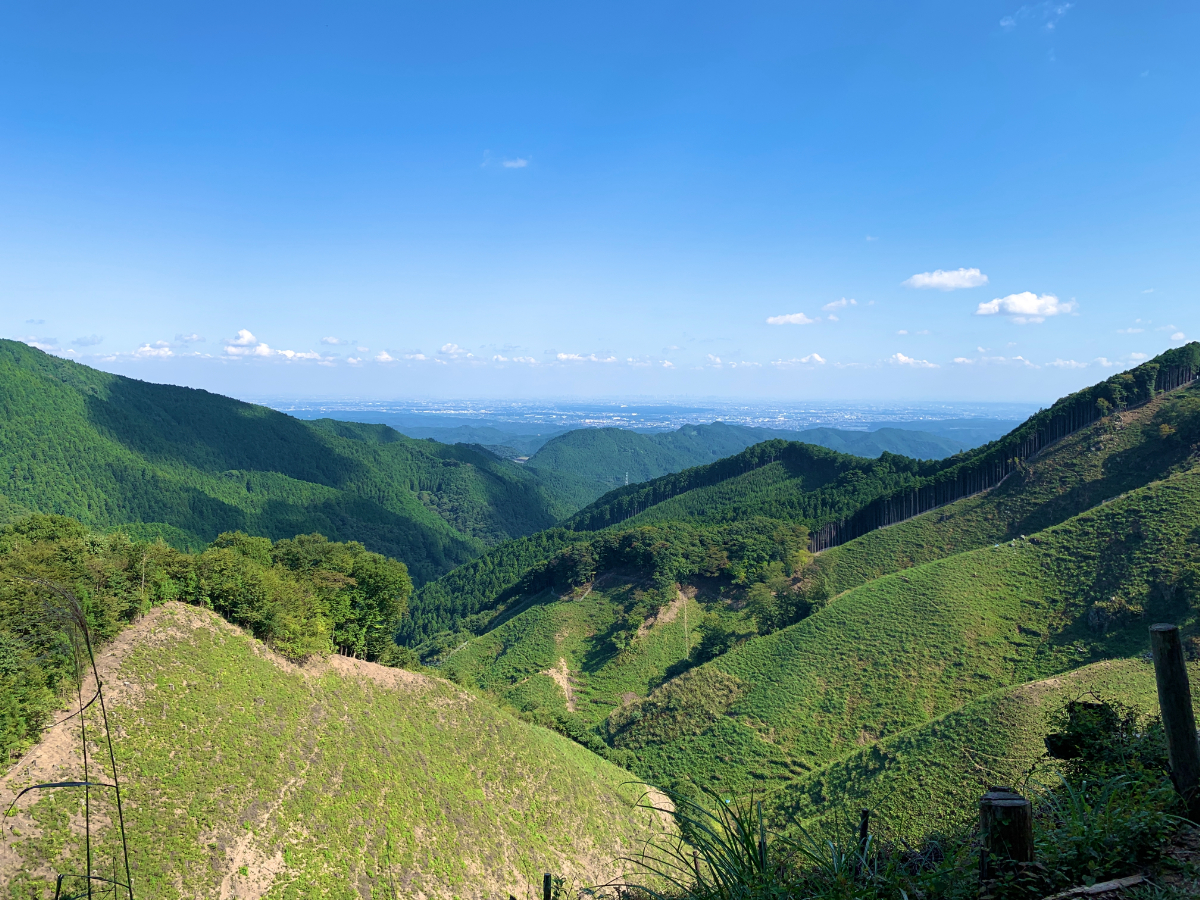
Additionally, throughout this route, there are very few spots offering scenic views.
Mt.Kusato
The first peak, Mt.Kusato
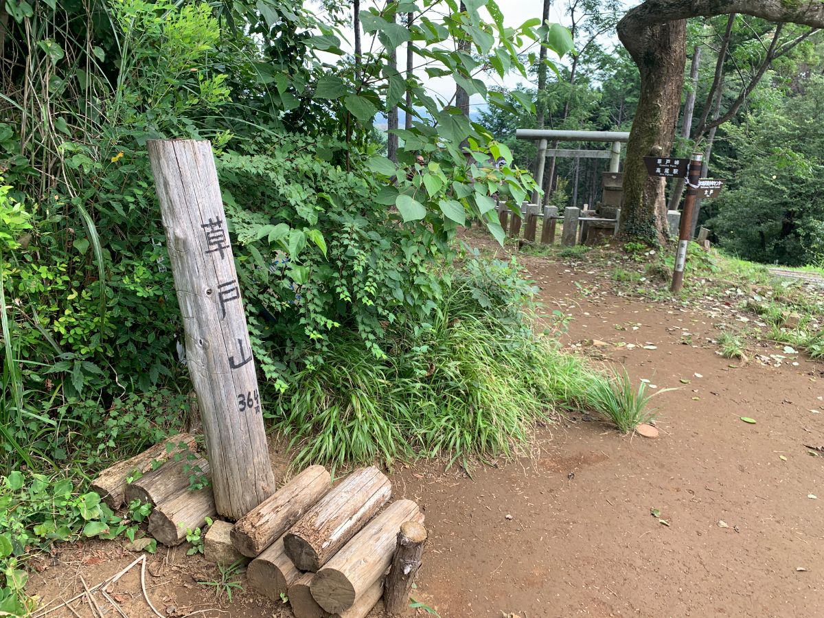
The observation deck is off-limits.
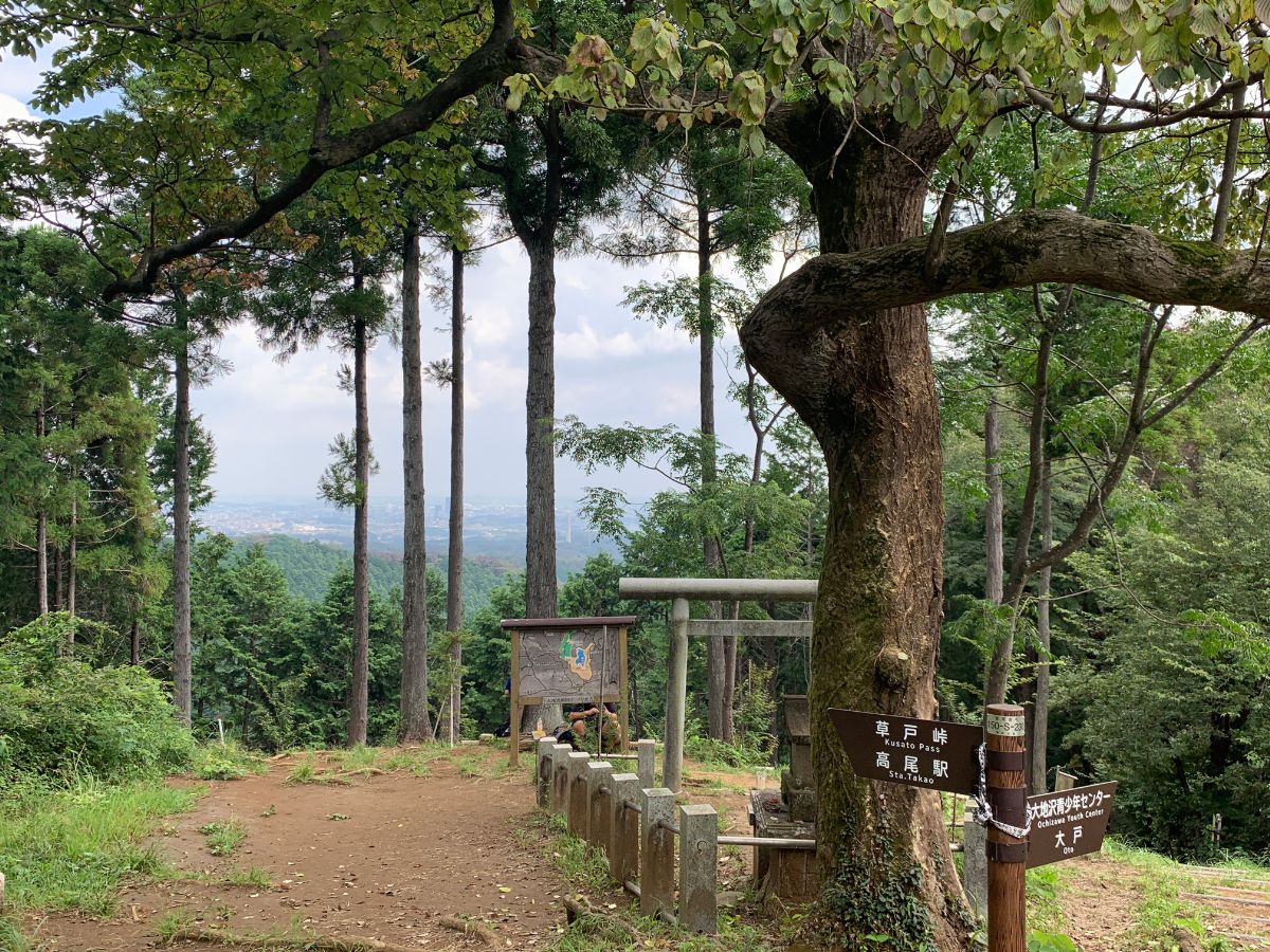
Mt.Kusato is 364 meters above sea level and is the highest peak in Machida City, Tokyo.
The mountain is nicknamed “One Year Mountain” after this elevation.
There is also a trailhead from the Ochizawa Youth Center.
Mt.Enokubo
Cross the ups and downs from Mt. Kusato to Mt. Enokubo.
Mt. Enokubo stands at 420 meters, and aside from a bench, there’s not much else, and no view to enjoy.
This is the end of the Higashi-Takao ridges.
From here onwards, the area is distinguished as the Minami-Takao ridges.
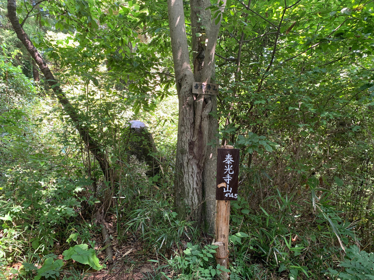
Mt.Taikouji
From Mt. Enokubo, head towards the Otarimi Pass at the nearby fork.
Just before Mt. Taikouji, there is a wooden owl carving.
You’ve reached the peak of Mt. Taikouji (474.9 meters).
Mt.Irisawa
Aim for Mt. Irisawa. Along the way, just past Nishiyama Pass, there’s a wooden dragon carving.
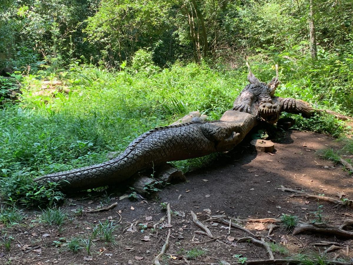
It’s surprisingly well-crafted, so take a look when you pass by.
This is also a standard photo spot.
The road still looks like this image.
The route to Mt. Irisawa is a bit unclear, but after about 5 minutes from the dragon square, you’ll see a faint trail on the right.There are no signs. If you come across a bench, you’ve gone too far, so backtrack a bit.
By the way, it becomes quite steep.
You’ve reached the peak of Mt. Irisawa (490 meters).
The view is good on the south side, and perhaps because the entrance is hard to find, few people come here.
The path becomes a dead-end from here, and the only way to return to the route is to retrace your steps.
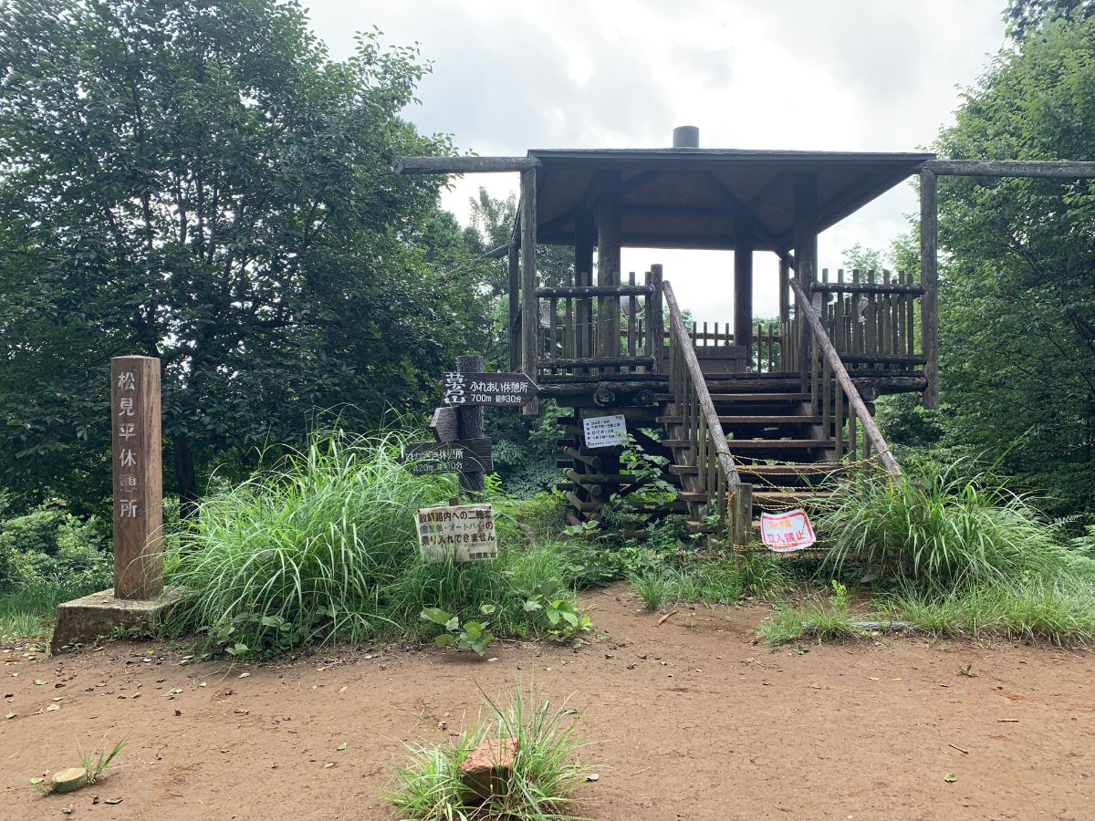
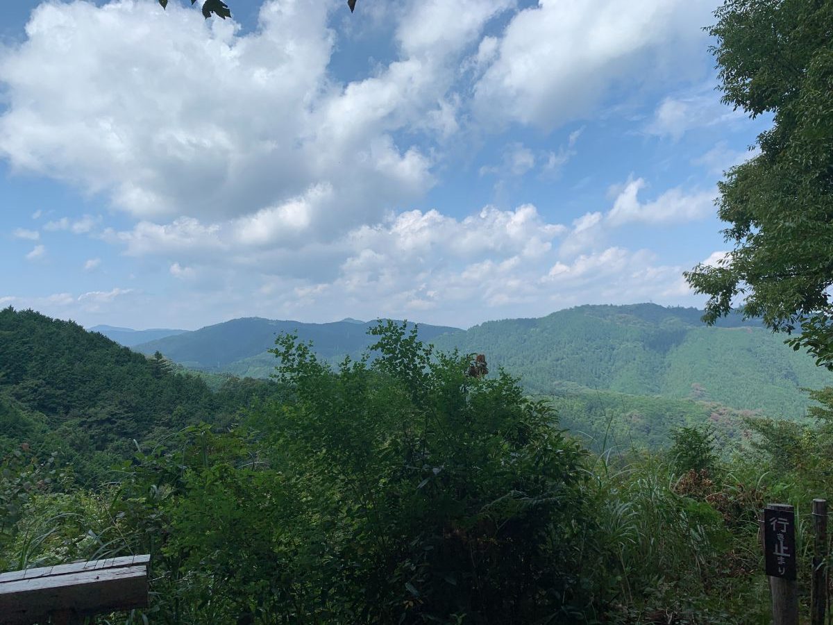
Observation Deck
Once back on the route, head towards the observation deck.
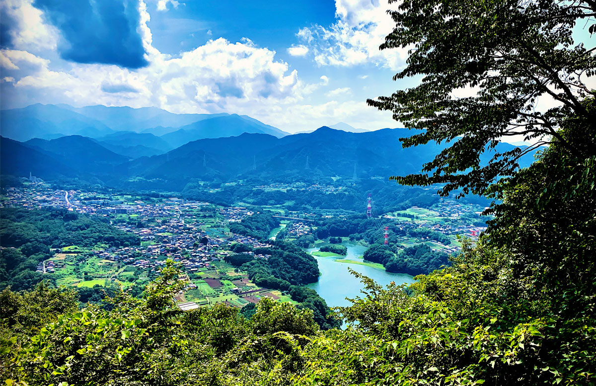
This is arguably the only spot on this route with a great view.

Below, you can see Lake Tsukui, and in the distance, the Tanzawa mountains.
Mt.Nakazawa
Walk relentlessly through the trees, and if you stray a little to the right from the route, you’ll reach Mt. Nakazawa (494 meters).
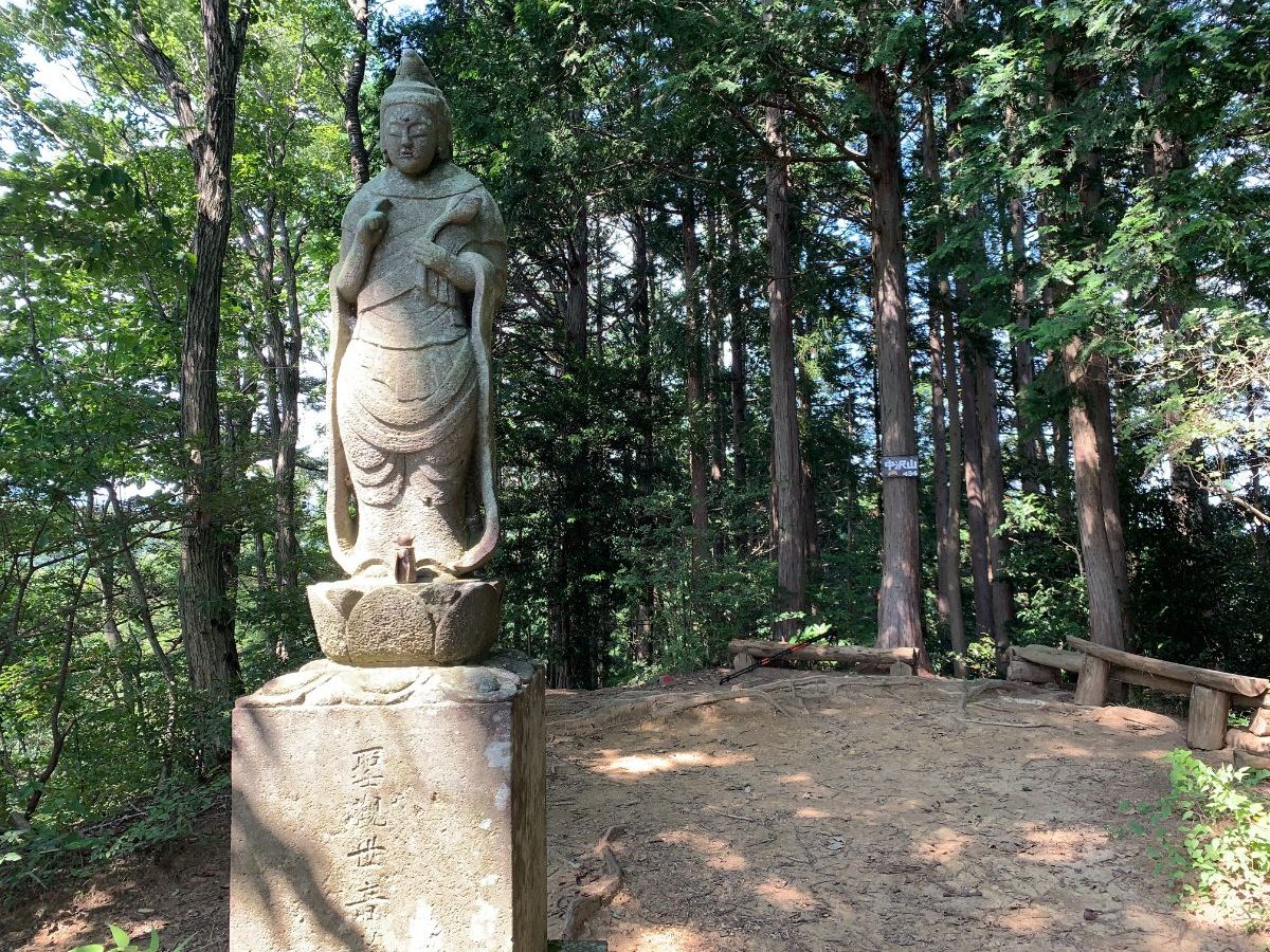
Since continuing straight on the route will cause you to miss it, this is another less crowded spot.
There’s a statue of Kannon Bodhisattva.
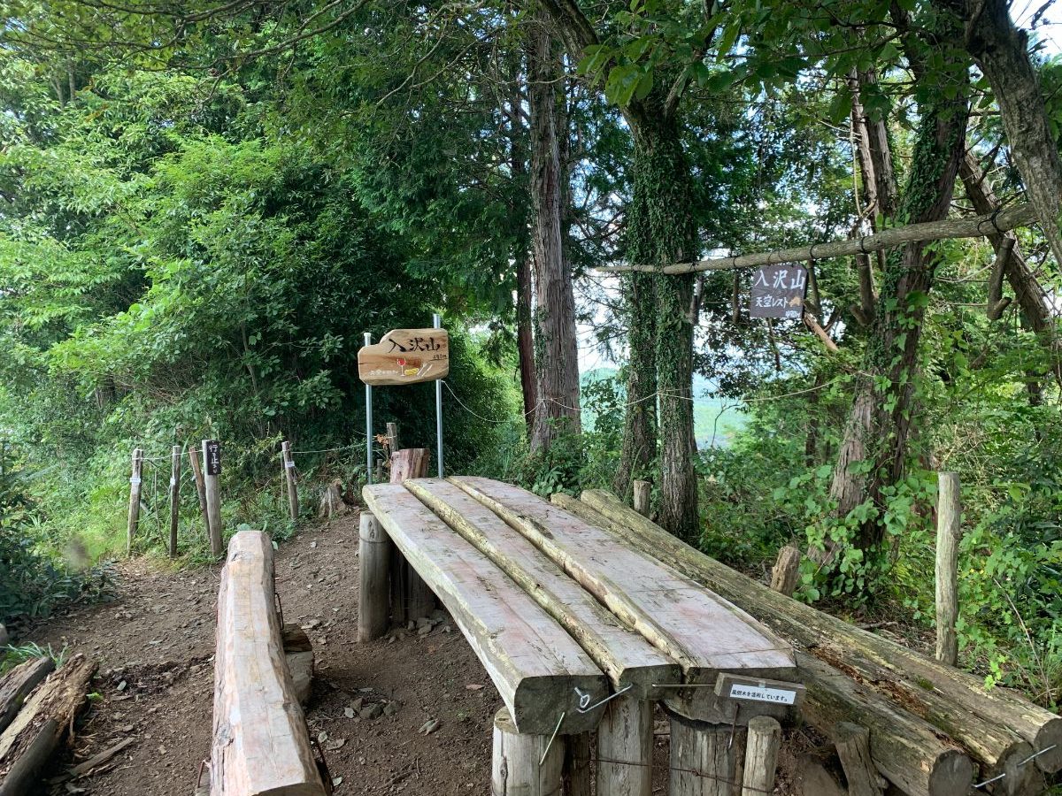
Mt.Konpira
Continue on to Mt. Konpira (514 meters).
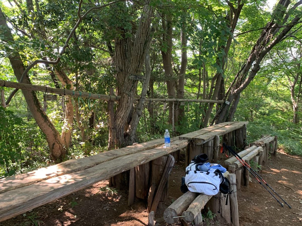
There’s a bench and a hook for hanging backpacks.
These backpack hooks can also be found at the observation deck; perhaps they’re a standard feature in the Minami-Takao area.
Mt.Ohbora
The next peak is Mt. Ohbora (536 meters).
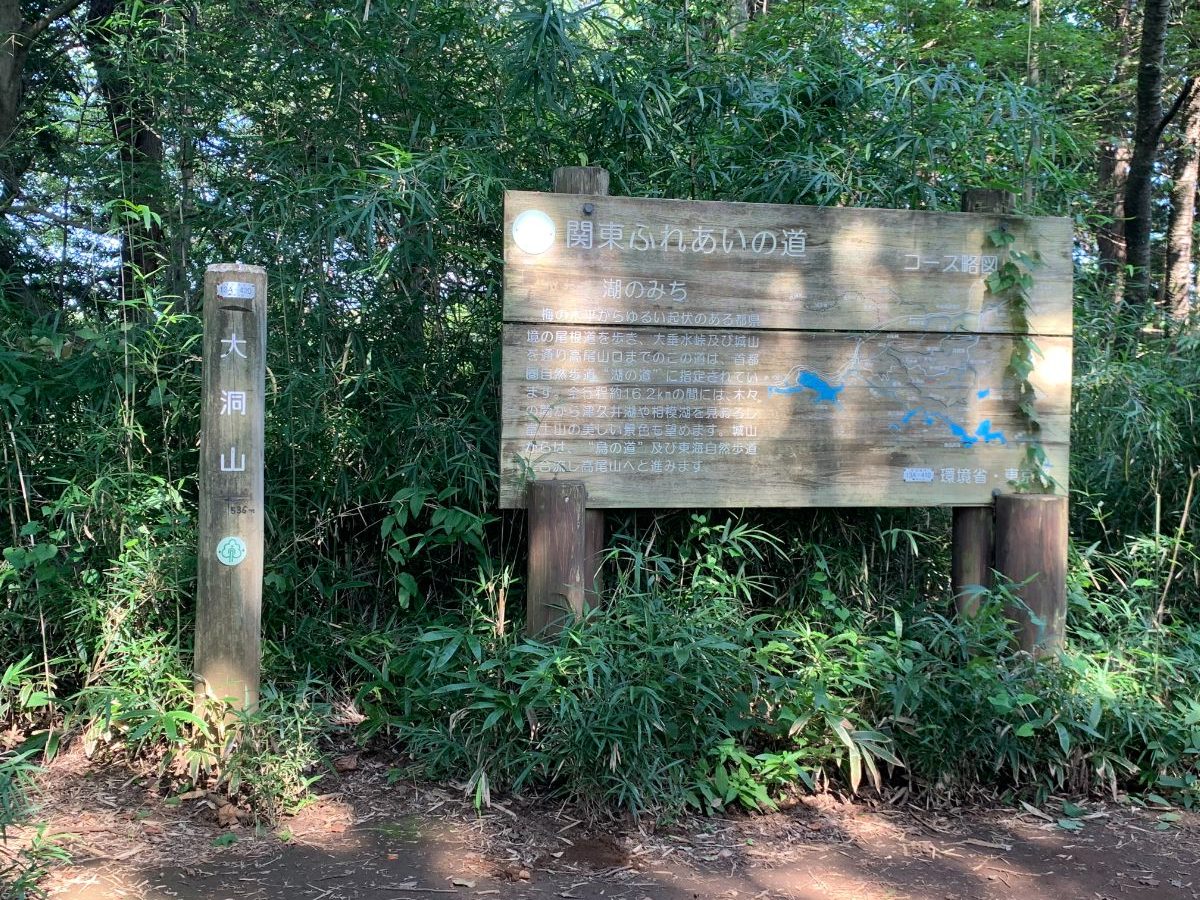
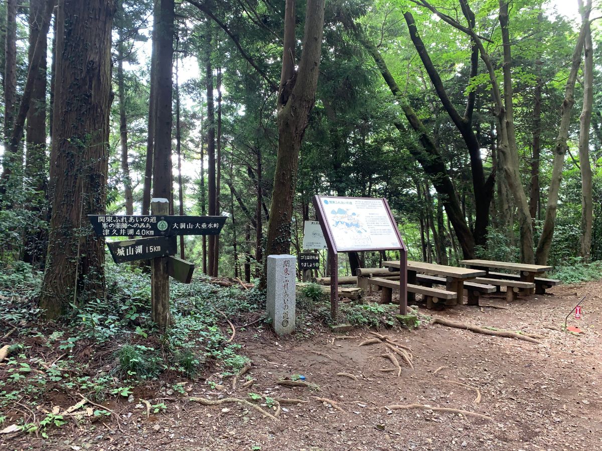
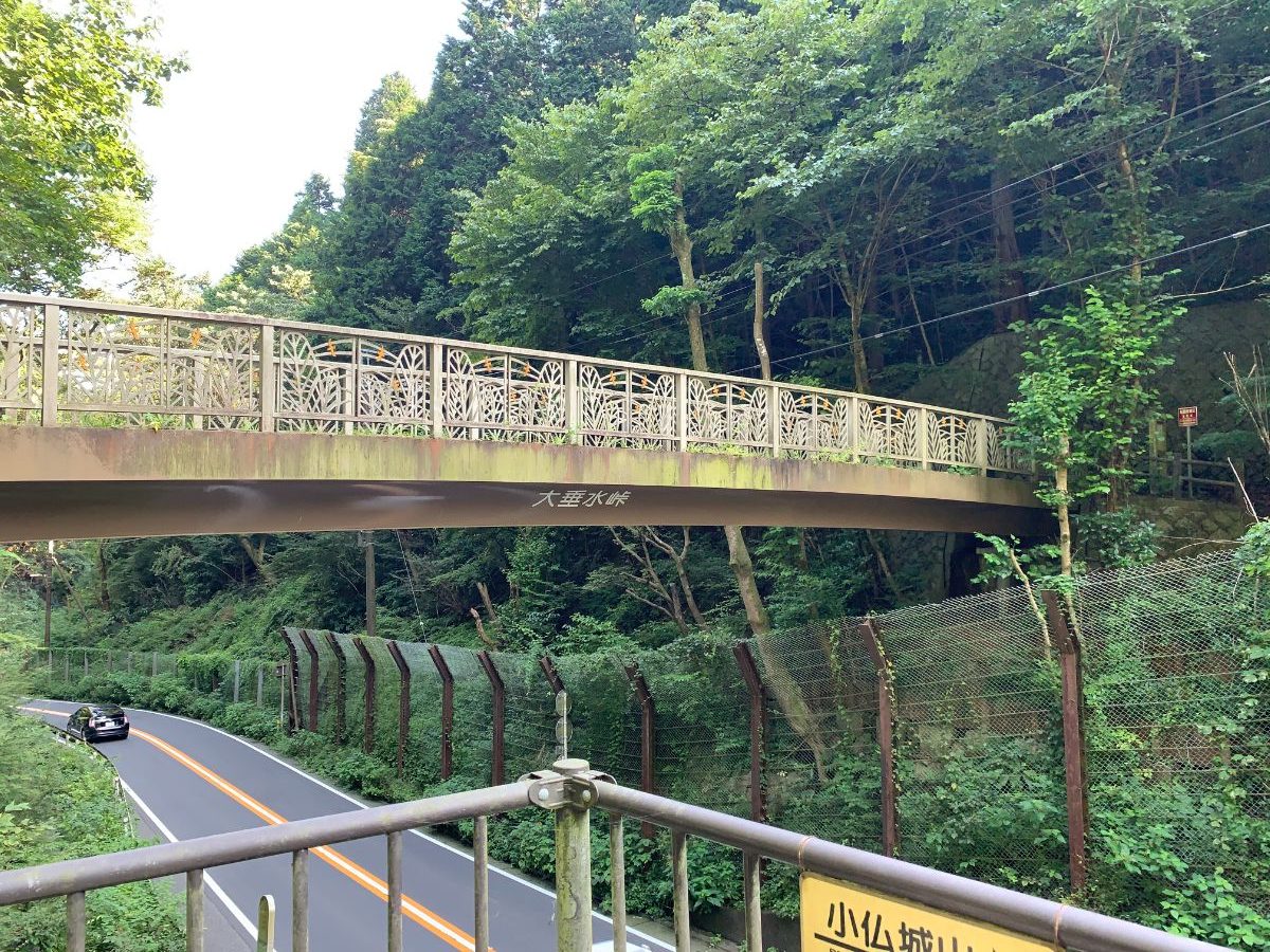
After this peak, the path descends sharply towards Otarimi Pass.
At Otarimi Pass, you’ll cross a bridge over National Route 20, but be cautious as the path narrows just before the bridge.
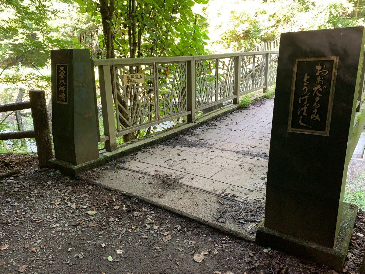
Cross the Otarimi Pass Bridge.
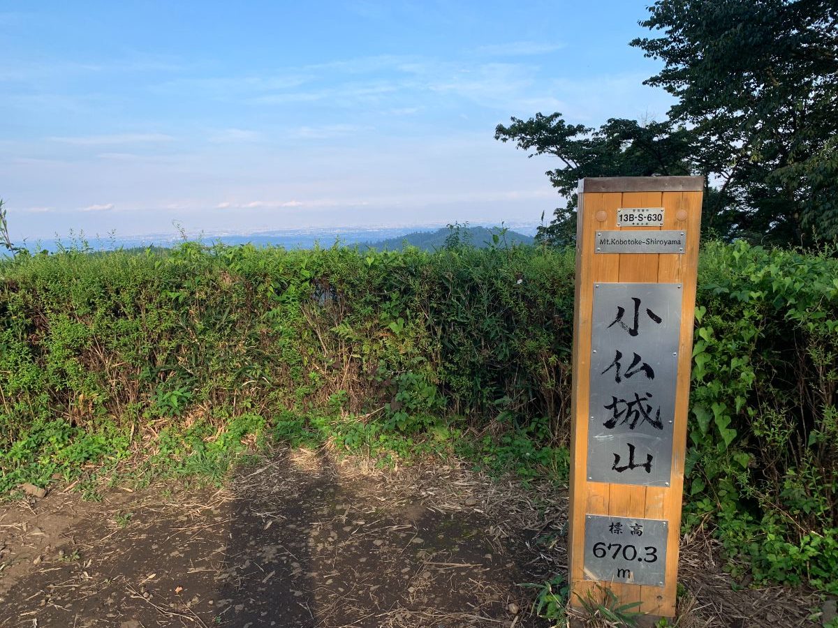
Mt. Kobotoke-Shiroyama
To reach Mt. Kobotoke-Shiroyama, exit onto the road after crossing the bridge and walk a short distance.
There are signs, so you won’t get lost.
Then, return to the hiking trail.
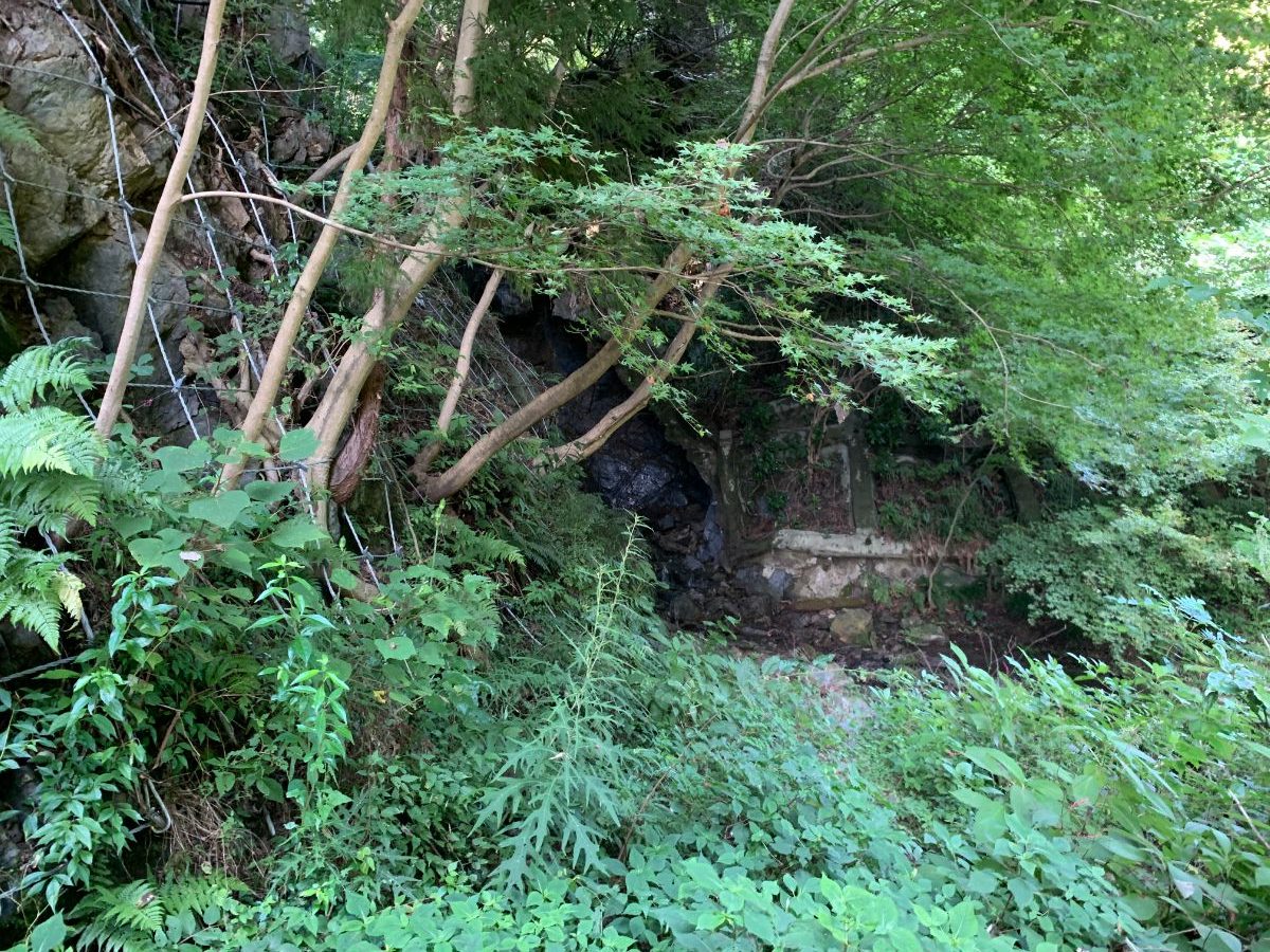
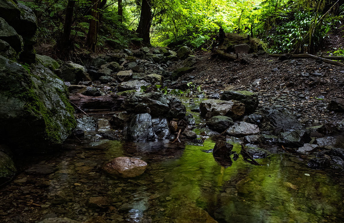
There’s also a stream.
Start climbing along the stream, but you’ll feel the distance and ups and downs have taken a toll on your stamina.
From here, it’s just an uphill climb.
Once you reach the Okutakao Traverse Trail, head left towards Mt. Kobotoke-Shiroyama.
In just 5 minutes, you’ll reach the summit of Mt. Kobotoke-Shiroyama (670 meters).
Mt.Takao
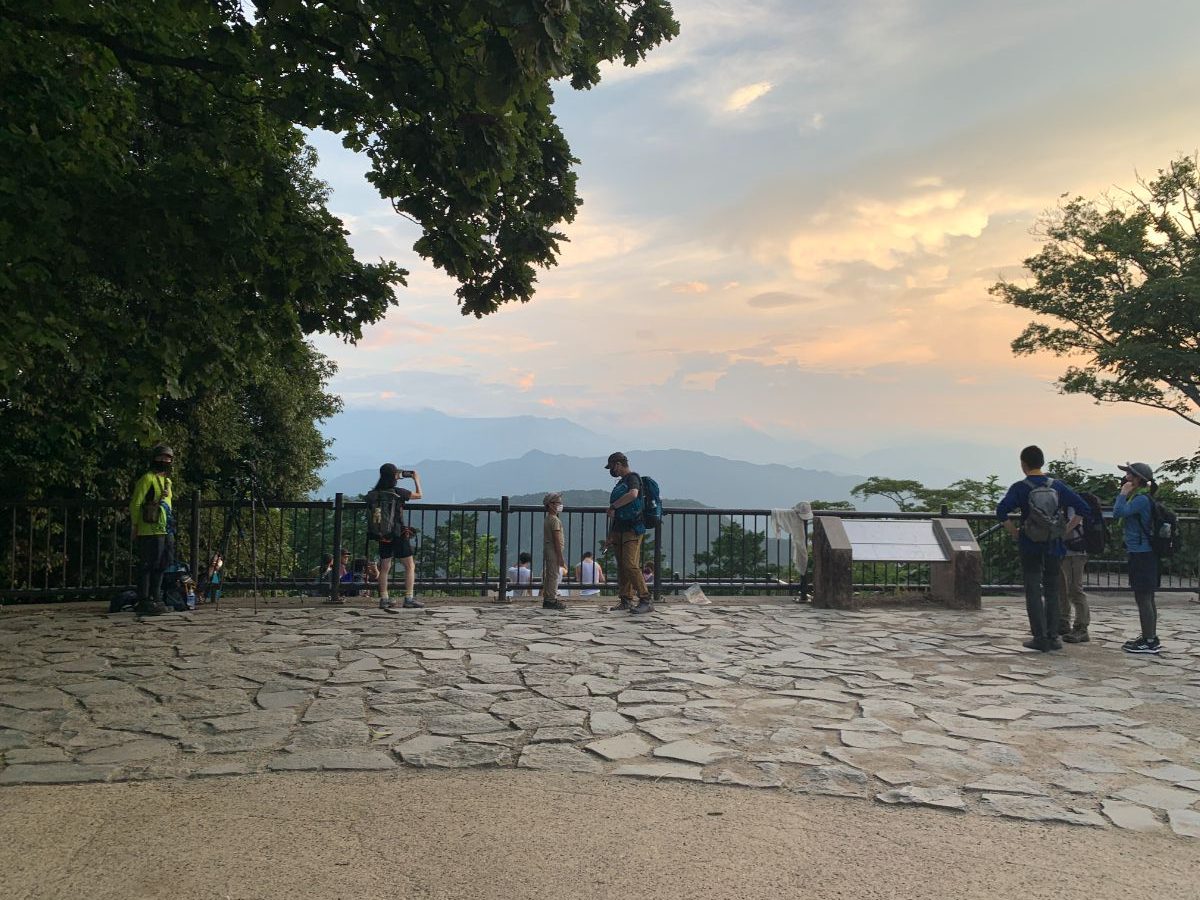
From here, head towards Mt. Takao on the Okutakao Traverse Trail.
Compared to the Minami-Takao ridges, the path is wider, easier to walk, and you’ll naturally pick up the pace.
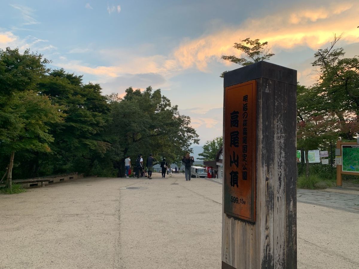
In about an hour, you’ll reach Mt. Takao (599 meters).
Completing the Heart Route
Descend from Mt. Takao via Trail No.1.
Once you reach Takaosan-guchi Station, the GPS track forms a heart shape, completing the Heart Route.